4.9 km away
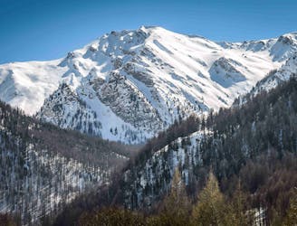
East face of the Pic d’Escreins
A stunning trail which leads to a great summit.
Difficult Ski Touring
- Distance
- 13 km
- Ascent
- 1.3 km
- Descent
- 1.3 km
A classic line from the Ceillac ski station
Ski Touring Moderate

Based just near the Ceillac ski resort, this is a great tour for those that want to mix it with some piste skiing, but it also takes you far enough away from the resort that you can’t see or hear those riding the lifts.
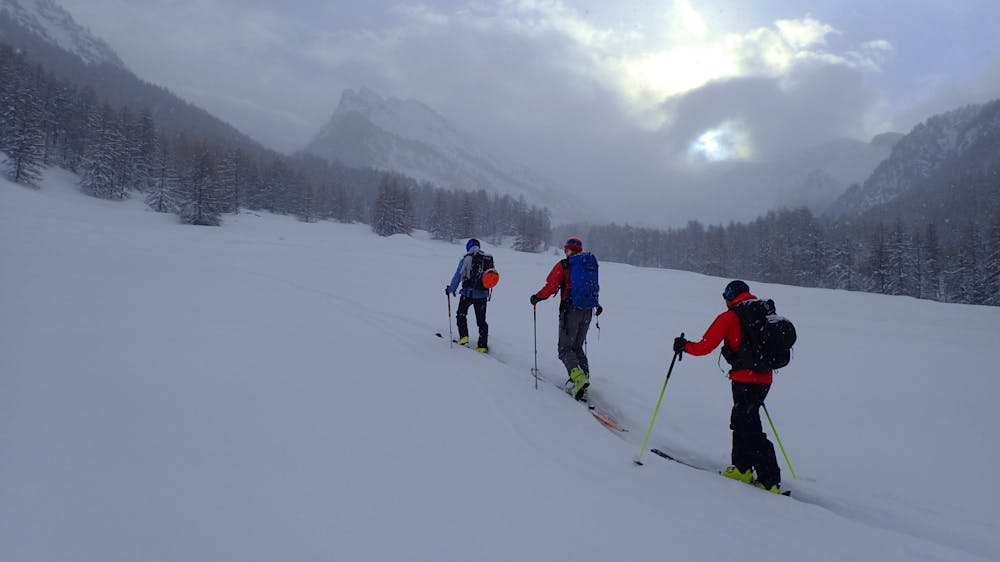

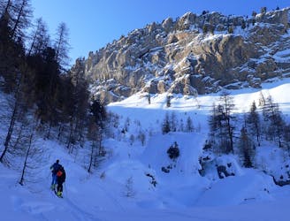
From the parking at Pied du Mélezet head south-east towards the hamlet of La Riaille, crossing some pistes and ski du fond pistes. From Riaille head east following the Torrent du Col Albert. Just before the 2208m spot height you will see a forested area on your left, one of the options for descent is to ski the western end of these trees. Continue up the torrent until the ground flattens out and from here turn north and climb to the Col le Queyrellet.
Descent:
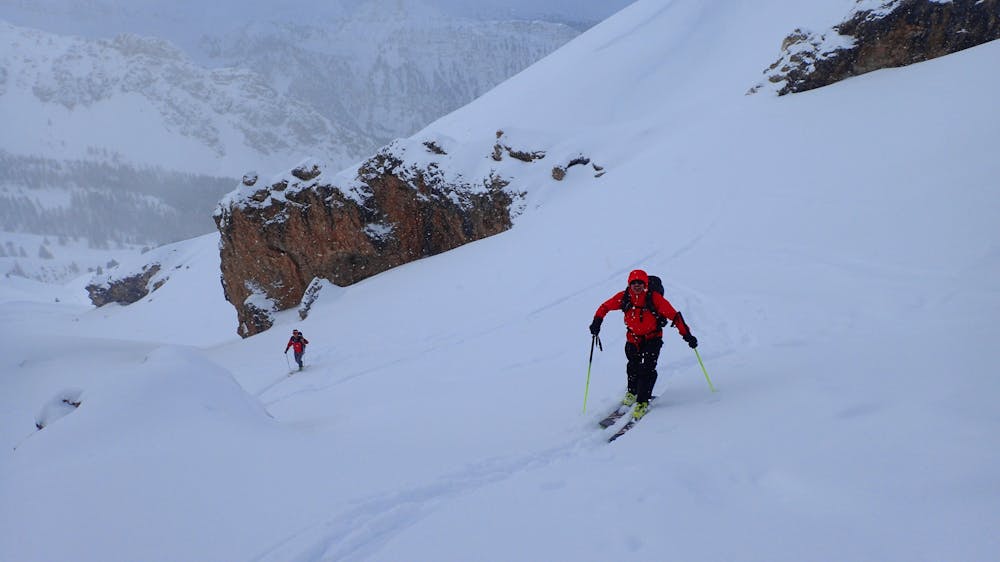
There are two options:
Descend the way you came up; this leads you back down the faces to the gully you climbed up.
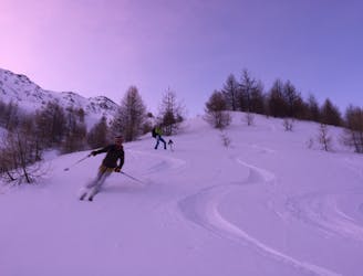
Alternatively you can descend a short way from the col and then head west, skiers right, under some steeper slopes. Keep traversing until you meet the trees and then again until you get to the western edge of the tree line. Here it opens up and makes a nice ski down to your skin tracks, you will have seen this line on the way up so it easy to make a plan. Both of these options lead you back to the gully above the hamlet of La Riaille, from there you follow you tracks and a ski de fond track back to the parking.
Moderate
Slopes become slightly steeper at around 25-30 degrees.

Exposure is limited to that of the slope itself. Getting hurt is still likely if the slope is steep and/or the snow is hard.

Away from help but easily accessed.
4.9 km away
A stunning trail which leads to a great summit.
Difficult Ski Touring
7.8 km away
A long journey up the Ubaye valley and a succession of cols through the Queyras
Difficult Ski Touring
8.1 km away
A classic traverse with amazing skiing
Difficult Ski Touring