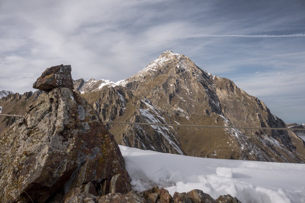
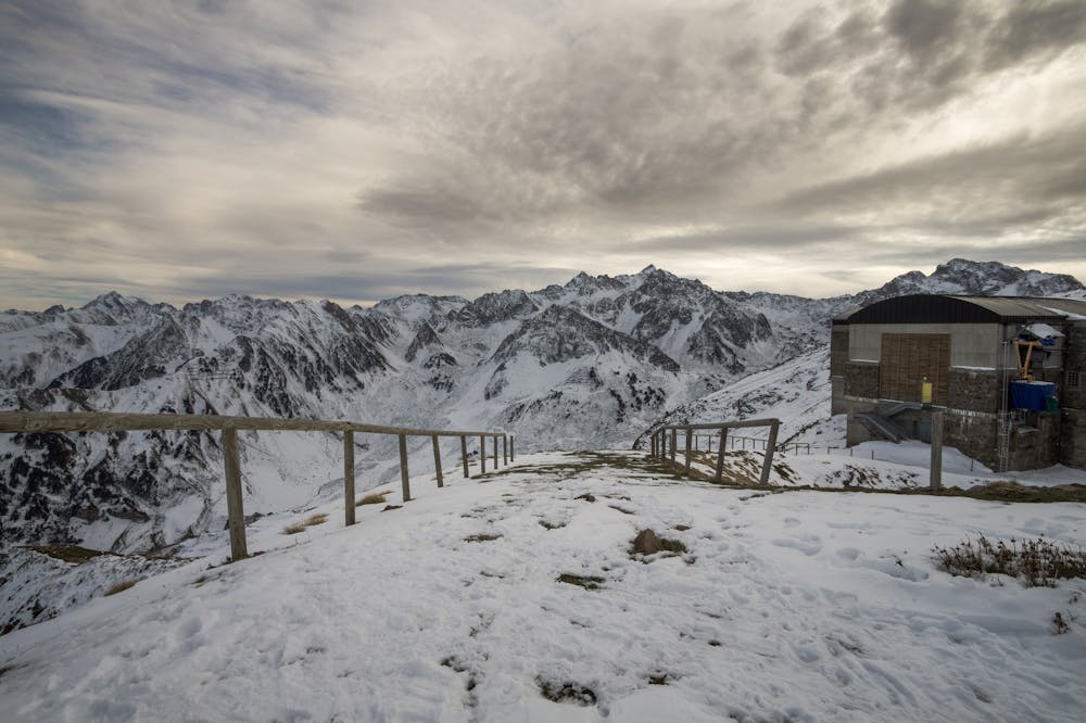
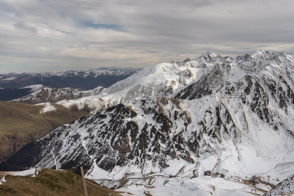
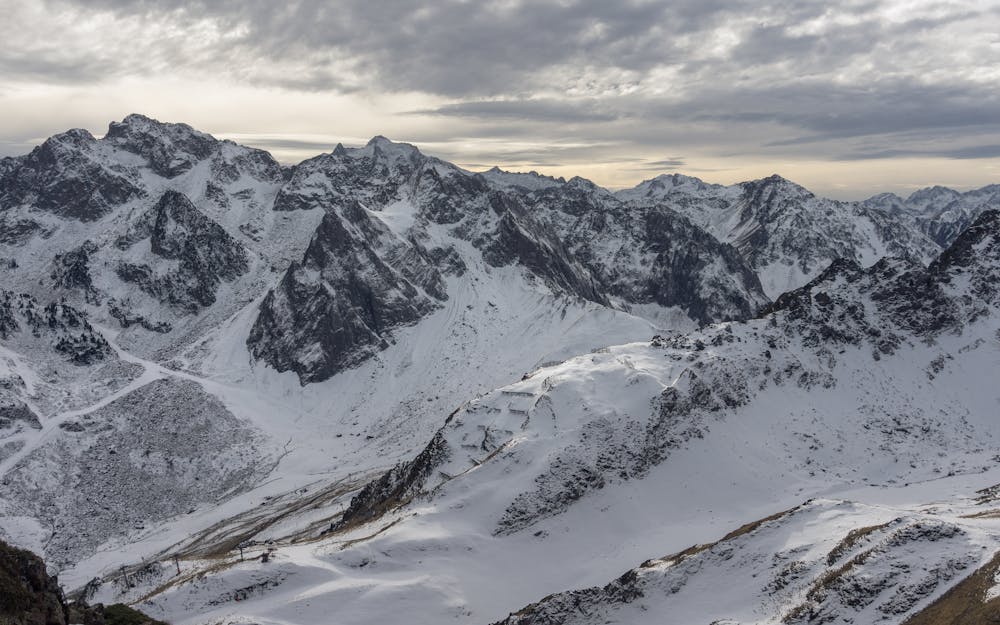
La Mongie - Le Taoulet
An interesting walk up near La Mongie and Tourmalet ski area
Hiking Easy
- Distance
- 9.3 km
- Ascent
- 555 m
- Descent
- 555 m
- Duration
- 2-3 hrs
- Low Point
- 1.8 km
- High Point
- 2.3 km
- Gradient
- 13˚

ENGLISH | FRANÇAIS | ESPAÑOL
Description
EN: inspiring route with lovely views over summits and valleys around, nicer that you should expect when crossing a ski resort area.
FR: la route vous propose la montée au modeste pic du Taoulet despuis la station de ski de La Mongie: des vues au sommet beaucoup plus magiques que vous aurez imaginé.
ES: rutilla corta interesante que transita en las laderas de la estación de esquí de La Mongie (Grand Tourmalet). La cima del Taoulet brinda unas vistas magníficas hacia las cumbres y valles circundantes
Additional info, more pictures and some ideas here: https://www.nevasport.com/eMotion365/art/61208/cerrando-temporada-20-21-Grand-Tourmalet/
Difficulty
Easy
Walking along a well-kept trail that’s mostly flat. No obstacles are present.
Low Exposure

The path is on completely flat land and potential injury is limited to falling over.
Remoteness
Close to help in case of emergency.
Best time to visit
Features
- Summit Hike
- Family friendly