Les Cochettes to Lac Pres de Pres to Cascade de la Fauge
Grenoble
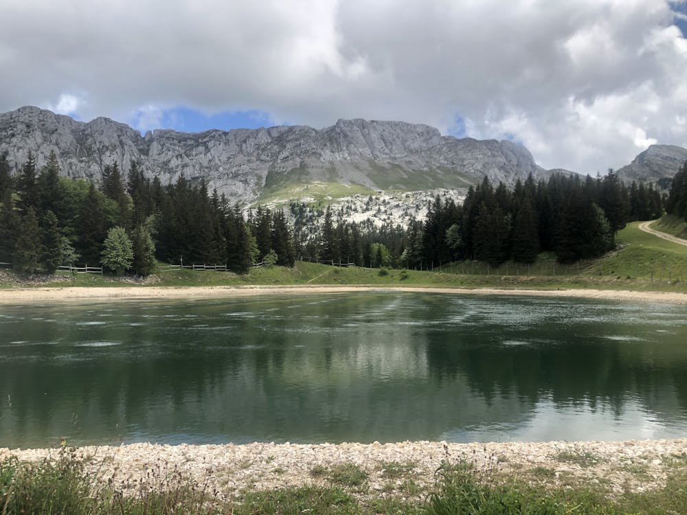
Epic balcony walk below Vercors Massif with a lake and waterfall to boot
Hiking Moderate
- Distance
- 11 km
- Ascent
- 614 m
- Descent
- 614 m
- Duration
- 3-4 hrs
- Low Point
- 1.1 km
- High Point
- 1.5 km
- Gradient
- 11˚

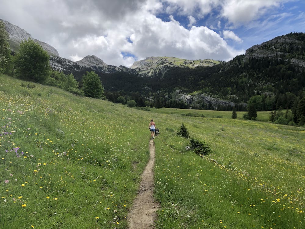
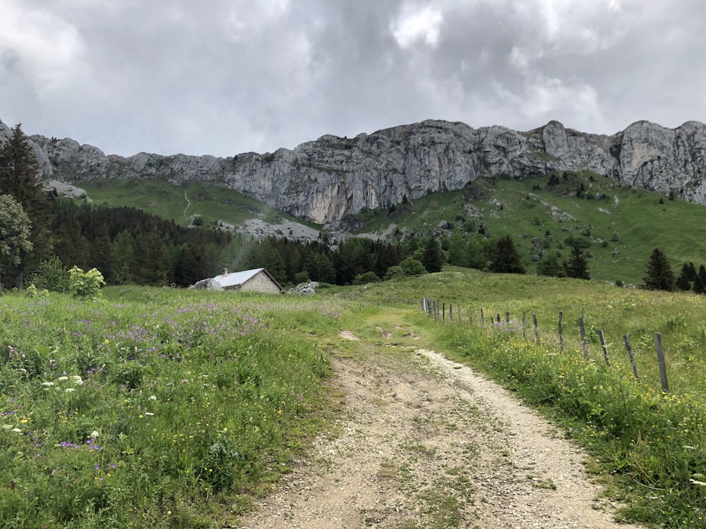
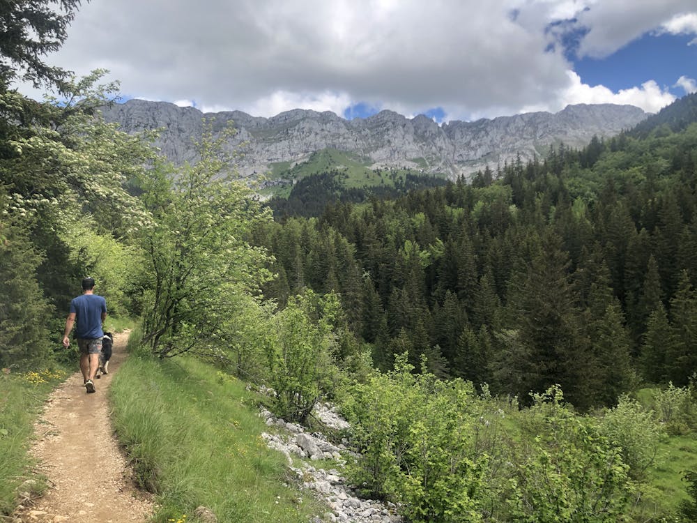
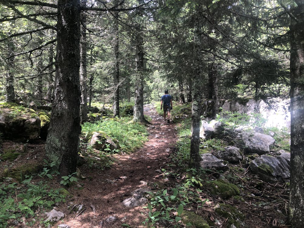
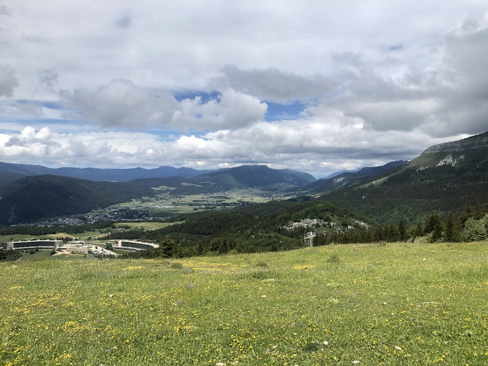
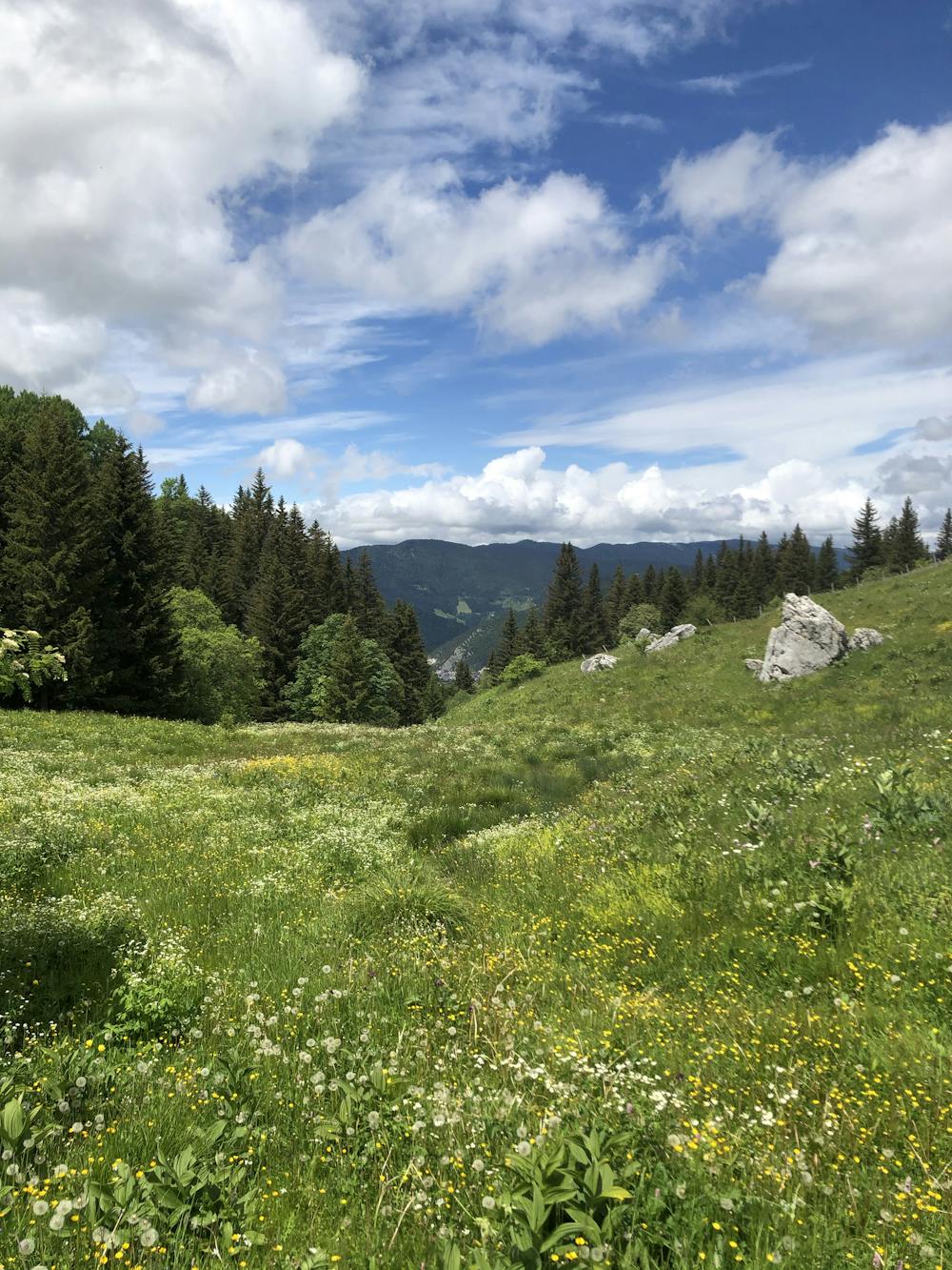
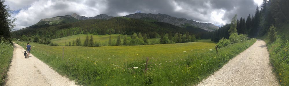
Gradual climb through fields and woodland continues following the base of the ridge between Roc Cornafion and Mont Gerbier - offering some wild and remote views of the Vercors massif before joining the mid level ski resort and Lac Pres de Pres, with views down to Villard de Lans. The hike loses the infrastructure fairly quickly taking turn, back into the same more remote valley from the first half of the hike. This time hugging the opposite side, joining a 4x4 track for a short period and ending on smaller woodland tracks that follow a stream and waterfall eventually leading back to the Les Cochettes hamlet above Villard de Lans.
- •
- •
- •
- •
- •
- •
- •
- •
Difficulty
Moderate
Hiking along trails with some uneven terrain and small hills. Small rocks and roots may be present.
Low Exposure

The path is on completely flat land and potential injury is limited to falling over.
Remoteness

Away from help but easily accessed.
Best time to visit
Features
- Wildlife
- Picturesque
- Dog friendly
- Wild flowers
- Water features
- Forestry or heavy vegetation