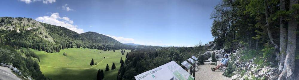
Plateau de Chateaujulien and Herbouilly
Grenoble
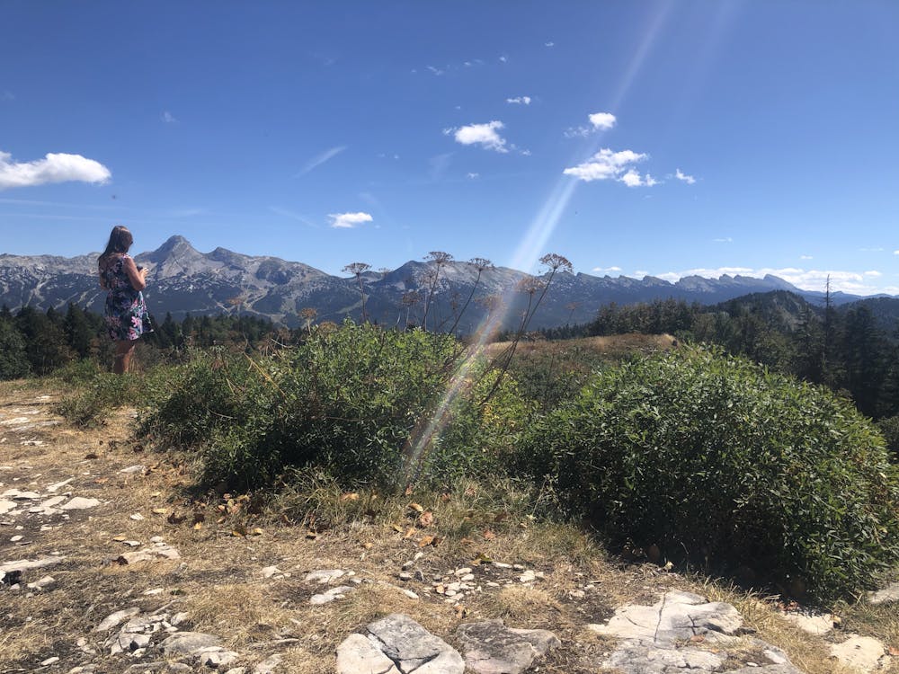
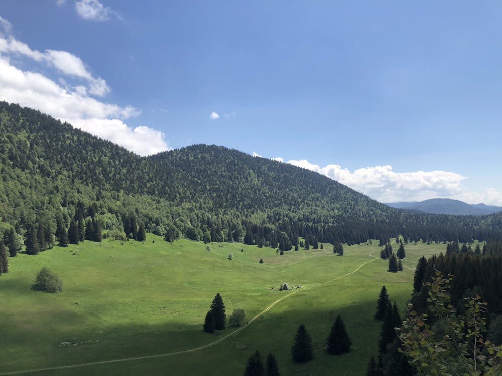
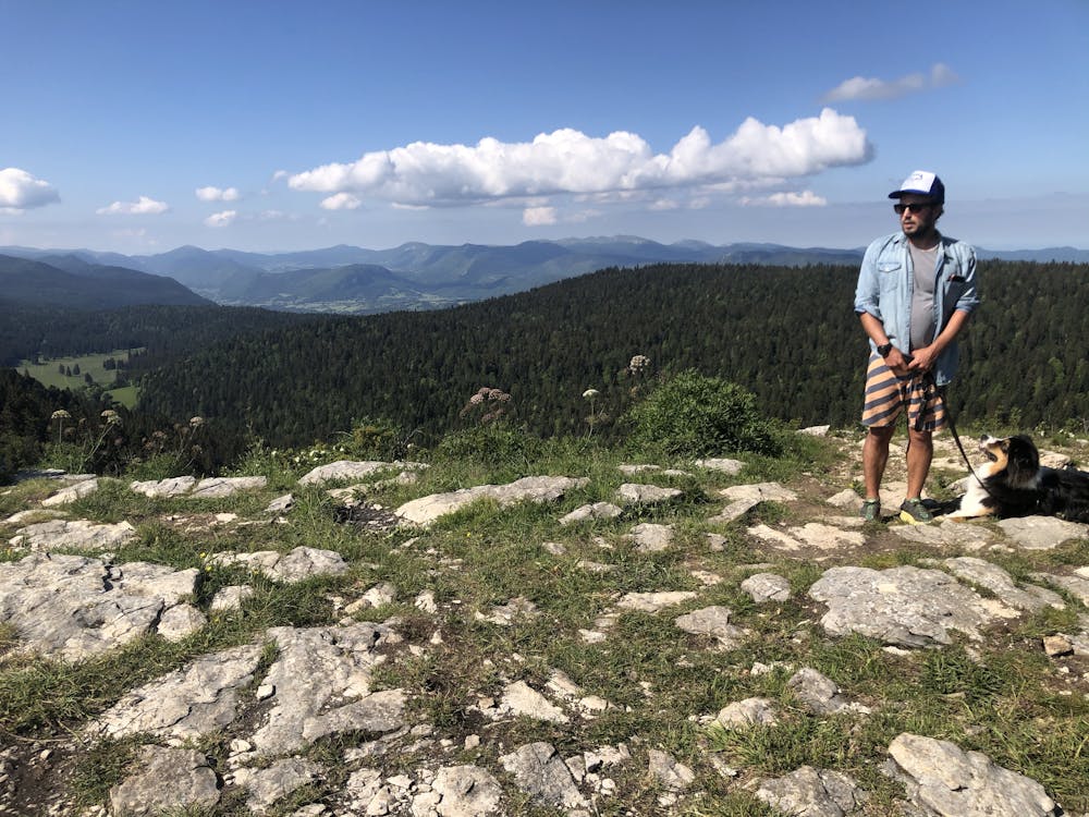
Stunning plateaus and vistas above Correncon
Hiking Moderate
- Distance
- 11 km
- Ascent
- 355 m
- Descent
- 354 m
- Duration
- 2-3 hrs
- Low Point
- 1.3 km
- High Point
- 1.5 km
- Gradient
- 5˚

This is a popular hiking route which is generally considered to be moderate. It's remote, it features low exposure and is typically done between April and November. From a low point of 1.3 km to the maximum altitude of 1.5 km, the route covers 11 km, 355 vertical metres of ascent and 354 vertical metres of descent.
- •
- •
- •
- •
- •
- •
Description
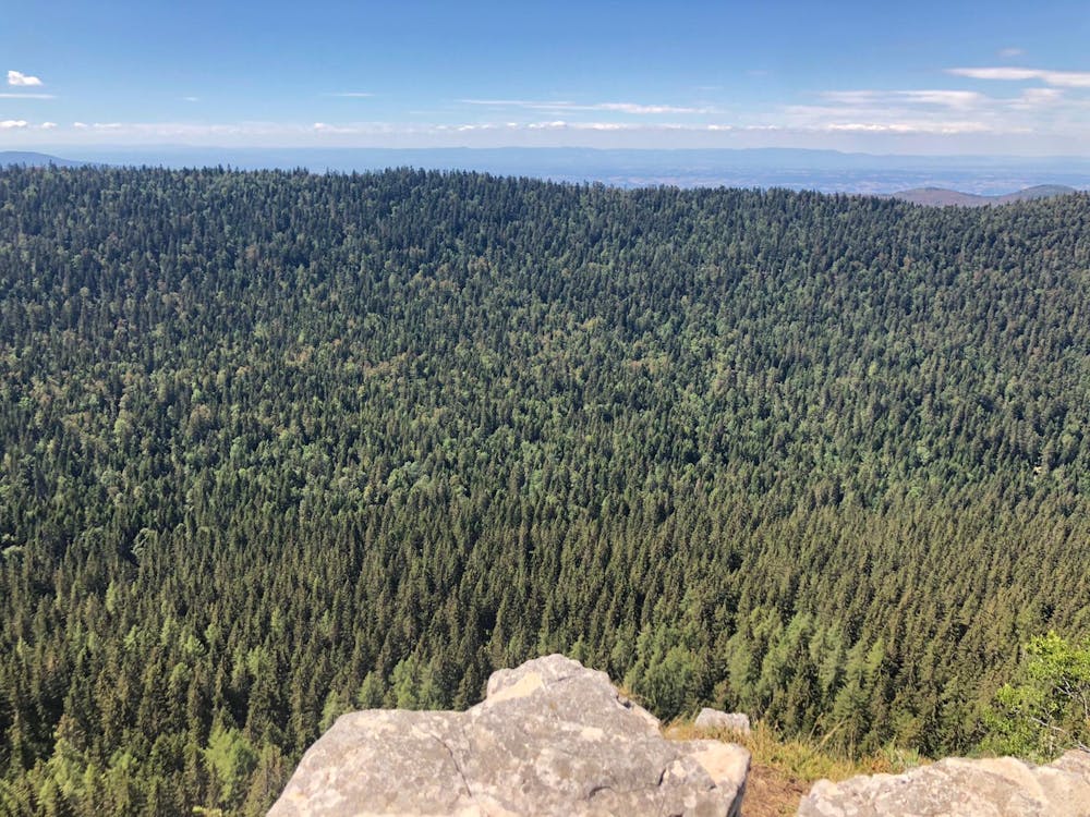
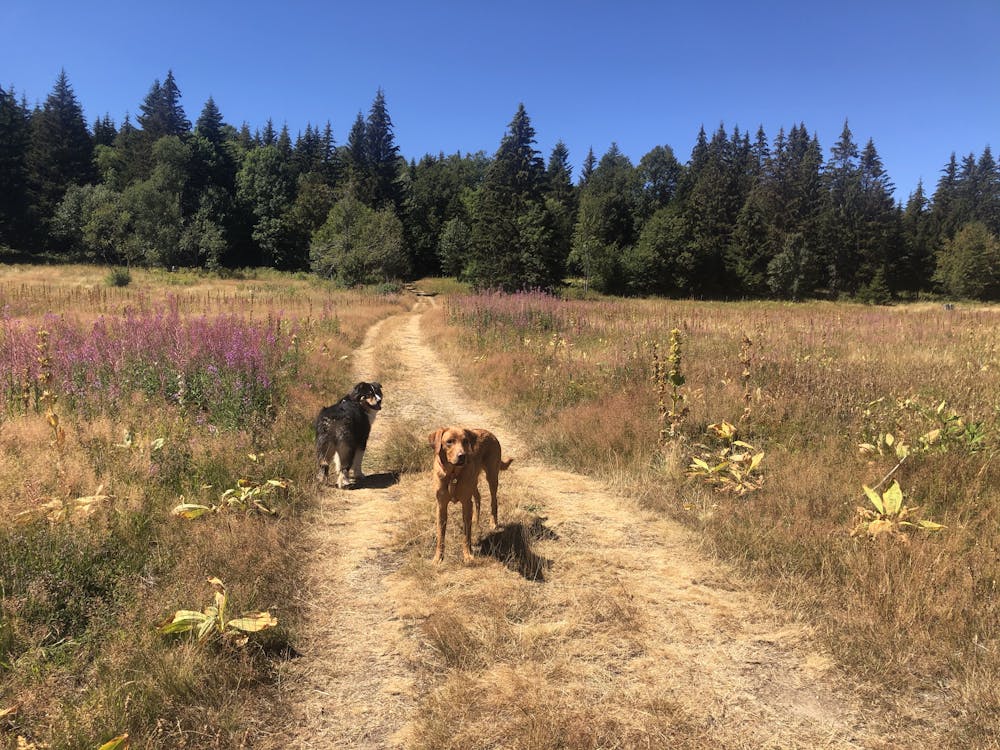
Great hike between two lush open green spaces, with 3 stunning views and a short woodland section. Options for picnics are plentiful, with picnic benches dotted throughout. If you're early you can claim the small ruin as a lunch spot.
Difficulty
Moderate
Hiking along trails with some uneven terrain and small hills. Small rocks and roots may be present.
Low Exposure

The path is on completely flat land and potential injury is limited to falling over.
Remoteness

Away from help but easily accessed.
Best time to visit
Features
- Wildlife
- Picturesque
- Dog friendly
- Wild flowers
- Family friendly
- Forestry or heavy vegetation