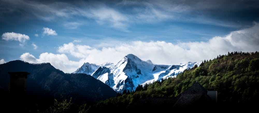
Trail du Benou hike to the Pic d'Escurets
A panoramic hike with ridges and steep sections
Hiking Moderate
- Distance
- 16 km
- Ascent
- 1 km
- Descent
- 1 km
- Duration
- 4-5 hrs
- Low Point
- 673 m
- High Point
- 1.4 km
- Gradient
- 17˚

This is a popular hiking route which is generally considered to be moderate. It's not remote, it features low exposure and is typically done in an unknown time of year. From a low point of 673 m to the maximum altitude of 1.4 km, the route covers 16 km, 1022 vertical metres of ascent and 1018 vertical metres of descent.
Description
Enjoy a long and scenic hike around the Benou, starting and finishing in the town of Bilheres.
There are some steep climbs and the last section to the Pic d'Escurets is a bit of a scramble, but otherwise it's relatively easy.
Difficulty
Moderate
Hiking along trails with some uneven terrain and small hills. Small rocks and roots may be present.
Low Exposure

The path is on completely flat land and potential injury is limited to falling over.
Remoteness
Close to help in case of emergency.
Features
- Wildlife
- Picturesque
- Summit Hike
- Dog friendly
- Wild flowers
- Water features
- Family friendly
- Forestry or heavy vegetation