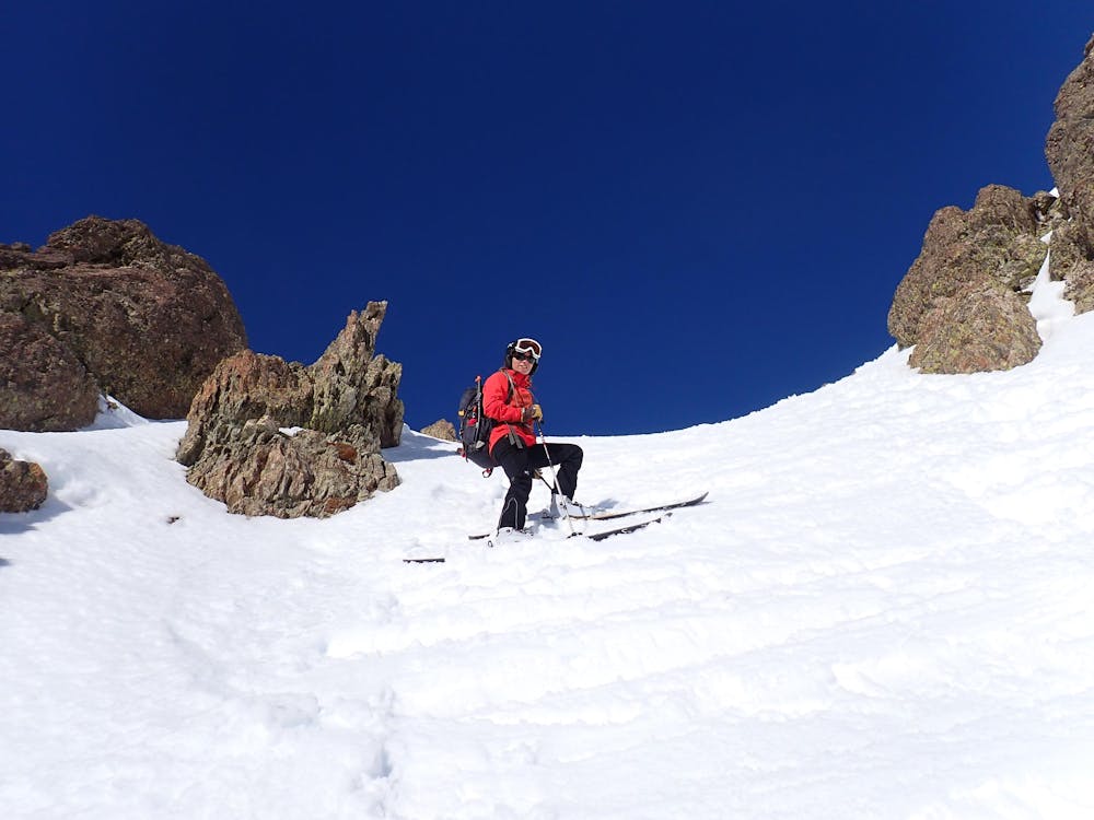
peyreget Sur
ruta directa a cima por la canal sur
Ski Touring Severe
- Distance
- 7.2 km
- Ascent
- 791 m
- Descent
- 788 m
- Duration
- 3-4 hrs
- Low Point
- 1.7 km
- High Point
- 2.5 km
- Gradient
- 38˚

This is a popular ski touring route which is generally considered to be severe. It's remote, it features medium exposure (e2) and is typically done between January and March. From a low point of 1.7 km to the maximum altitude of 2.5 km, the route covers 7.2 km, 791 vertical metres of ascent and 788 vertical metres of descent. It's graded 3.2 and Labande grade 3. You'll need skins, ice axe and crampons to complete it safely.
- •
- •
- •
- •
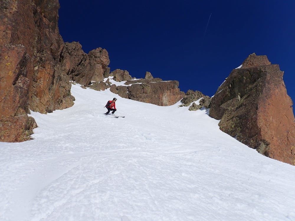
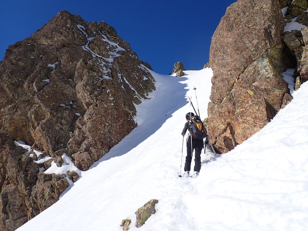
Description
corta y empinado inicio
Difficulty
Severe
Steep skiing at 38-45 degrees. This requires very good technique and the risk of falling has serious consequences.
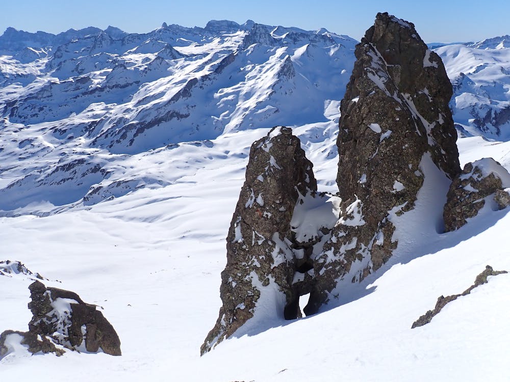
Medium Exposure (E2)

As well as the slope itself, there are some obstacles (such as rock outcrops) which could aggravate injury.
Remoteness
Away from help but easily accessed.
Best time to visit
Features
- Couloir
- Ski Mountaineering
Equipment required
- Skins
- Ice axe
- Crampons