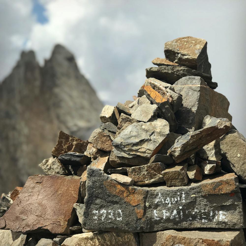
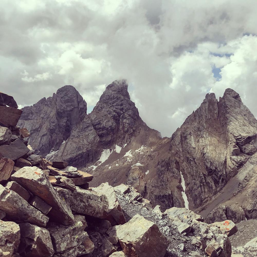
Aiguille de l'Épaisseur 3230m versant SE
Saint-Jean-de-Maurienne
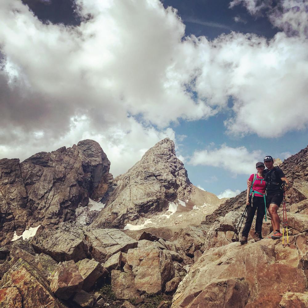
Joli belvédère à plus de 3000 m d'altitude facile d'accès qui offre un superbe panorama sur les Aiguilles d'Arves.
Hiking Moderate
- Distance
- 14 km
- Ascent
- 1.6 km
- Descent
- 1.6 km
- Duration
- 5-6 hrs
- Low Point
- 1.7 km
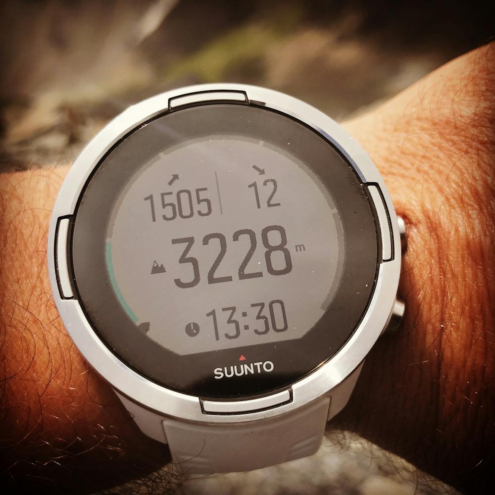
- High Point
- 3.2 km
- Gradient
- 23˚

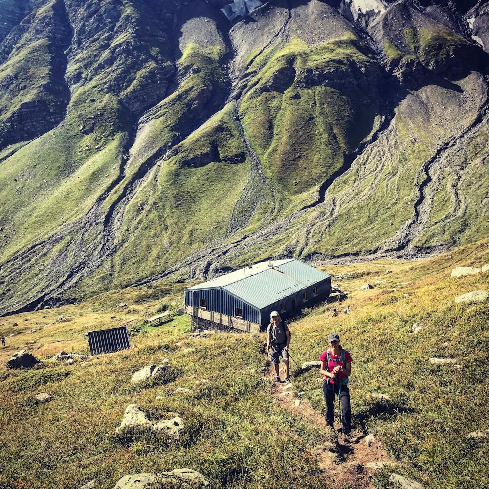
This is a popular hiking route which is generally considered to be moderate. It's remote, it features low exposure and is typically done between June and September. From a low point of 1.7 km to the maximum altitude of 3.2 km, the route covers 14 km, 1557 vertical metres of ascent and 1559 vertical metres of descent.
- •
- •
- •
- •
- •
- •
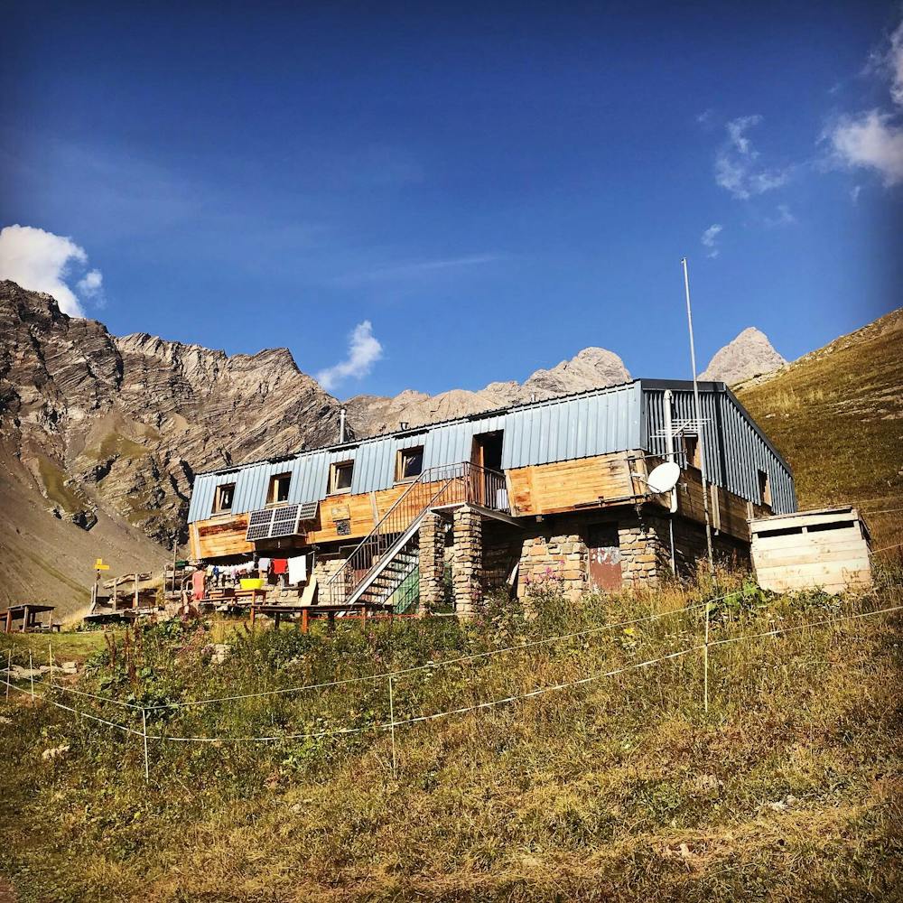
Description
CamptoCamp https://bit.ly/3eGdifQ Valloire randos https://bit.ly/2yVqQ7W
Difficulty
Moderate
Hiking along trails with some uneven terrain and small hills. Small rocks and roots may be present.
Low Exposure

The path is on completely flat land and potential injury is limited to falling over.
Remoteness

Away from help but easily accessed.
Best time to visit
Features
- Alpine
- Summit Hike