3.8 km away
Mont Thabor Summit
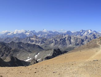
A wild mountain day taking you to one of France's best known summits
Difficult Hiking
- Distance
- 18 km
- Ascent
- 898 m
- Descent
- 1.5 km

A lovely day trip on its own, or a positioning day ahead of summiting Mont Thabor
Hiking Moderate

This is hiking in the French Alps at its very best and can be done as a there-and-back day or as a way to shorten what would otherwise be a huge day to the summit of Mont Thabor from the Valfrejus.
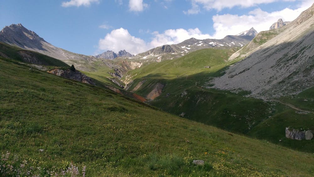
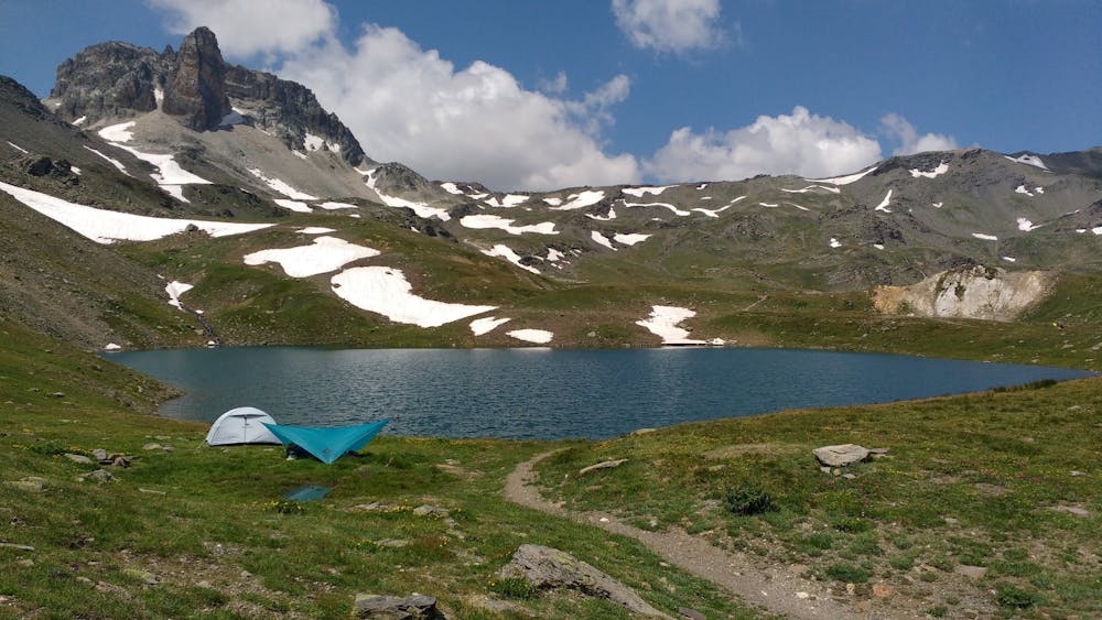
Start out by driving up a long jeep track south-west from the Station de Valfréjus village, which in turn is accessed from the industrial town of Modane. There is a huge parking area at the end of the jeep track so you will not struggle to find a place to leave your car.
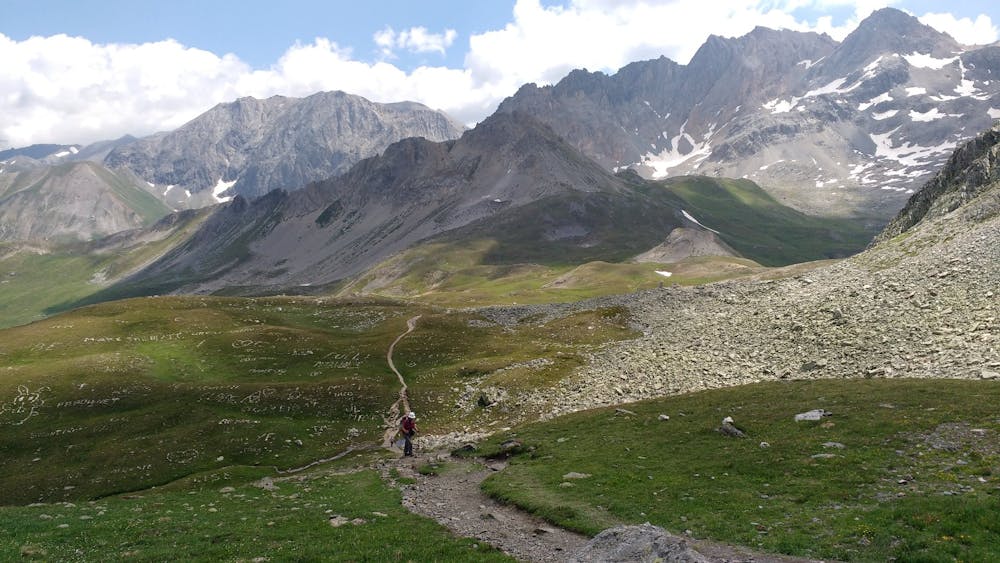
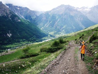
Hike south-west on a large track which starts out steeply but gradually mellows as it enters the huge, barren valley which eventually leads to the Refuge du Mont Thabor. The path goes straight up the valley and the ambience and views only improve as you progress up it.
All the way up the valley you are high above and to the east of the river in the bottom of the valley, so you have the enjoyable experience of feeling high up whilst simultaneously looking up at even higher peaks around you. The surrounding mountains are truly spectacular and there are countless rocky buttresses and gullies to study. Both skiers and climbers will likely spot a few lines they'd like to come back for....
At the head of the valley you reach a spectacular col which looks down to Névache village. Turn right at the col and make a short, final climb to the Refuge du Mont Thabor itself. In the last few years the refuge has been run by a group of young guys and they are welcoming, enthusiastic and fun to be around. There is not a grumpy French hut guardian in sight!
The hut serves great food and has a decent selection of wine so whilst admiring the view you will also be able to get some highly enjoyable calories down!
Moderate
Hiking along trails with some uneven terrain and small hills. Small rocks and roots may be present.
3.8 km away

A wild mountain day taking you to one of France's best known summits
Difficult Hiking
5.8 km away
Follow the Via Alpina from Savoy to the Hautes Alps.
Moderate Hiking
3 routes · Hiking