Pointes d'Orient, 2942 m par le plan des Moutons
Saint-Jean-de-Maurienne
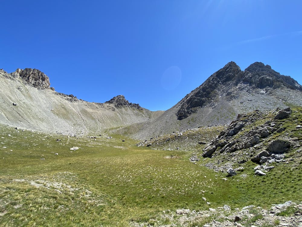
Un itinéraire secret et surprenant, varié, avec cette ambiance si particulière des Cerces.
Hiking Difficult
- Distance
- 7.2 km
- Ascent
- 1.2 km
- Descent
- 1.2 km
- Duration
- 3-4 hrs
- Low Point
- 1.7 km
- High Point
- 2.9 km
- Gradient
- 29˚

This is a popular hiking route which is generally considered to be difficult. It's remote, it features medium exposure and is typically done between June and September. From a low point of 1.7 km to the maximum altitude of 2.9 km, the route covers 7.2 km, 1187 vertical metres of ascent and 1186 vertical metres of descent.
Description
Les Pointes d'Orient sont sur la ligne de crête de la Sétaz Vieille. En apparence inaccessibles, vues d'en bas, il est pourtant possible d'y monter relativement facilement.
Difficulty
Difficult
Hiking trails where obstacles such as rocks or roots are prevalent. Some obstacles can require care to step over or around. At times, the trail can be worn and eroded. The grade of the trail is generally quite steep, and can often lead to strenuous hiking.
Medium Exposure

The trail contains some obstacles such as outcroppings and rock which could cause injury.
Remoteness
Away from help but easily accessed.
Best time to visit
Features
- Alpine
- Picturesque
- Summit Hike
- Wild flowers