0 m away
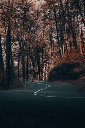
Le meilleur des Bauges
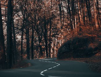
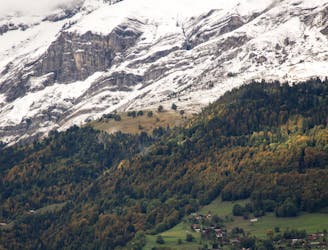
Une longue et magnifique boucle à travers, autour et au-dessus de certaines des montagnes les plus calmes de la Savoie.
Difficult Road Biking
- Distance
- 114 km
- Ascent
- 2.6 km
- Descent
- 2.6 km
A long, stunning loop through, round and over some of the quietest mountains in the Savoie
Road Biking Difficult

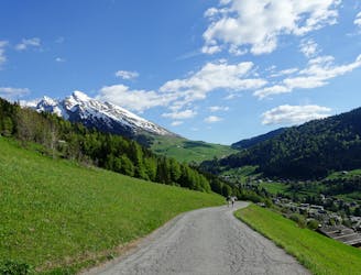
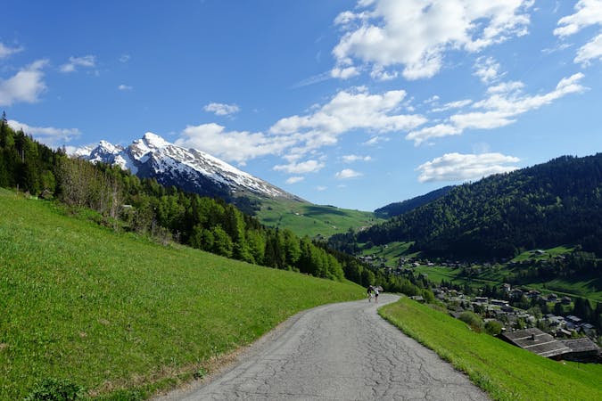
For ambitious, fit cyclists looking for a challenging route along deserted roads, this is a dream day out. It begins and ends in Annecy old town and passes through countless little settlements, none of them big and most of them charming and typically French.
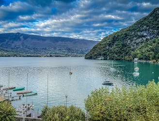
Begin the day by cruising south down the western shore of Lake Annecy to the town of Sevrier, then cut into the hills and continue heading south along peaceful roads. The scenery on these quiet roads is wonderful and you may find yourself being slightly envious of the people who live in the quaint little chalets you pass en route!
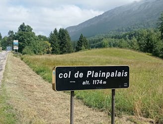
Keep heading south through the villages of Lescheraines, Aillon-le-Vieux and Aillon-le-Jeune to reach Thoiry then take a somewhat circuitous route around northwards to reach Les Déserts.
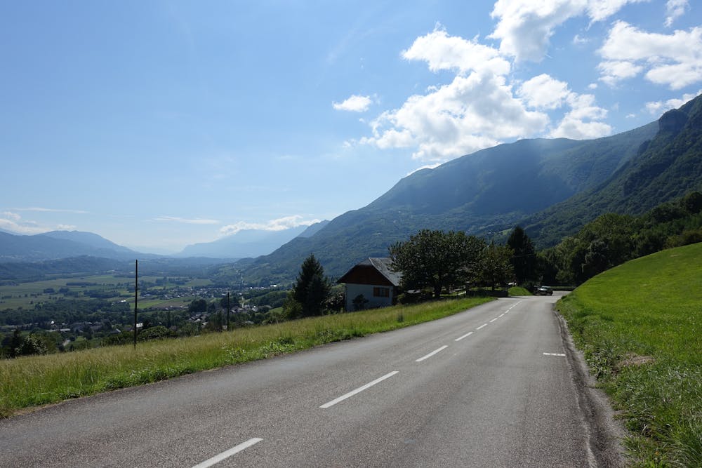
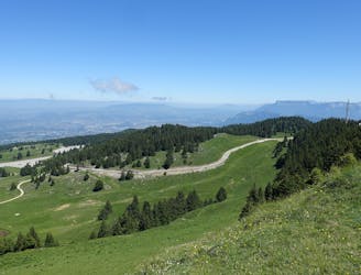
Cross the beautiful Plateau de Revard, detouring ever so slightly to Le Revard ski area, and then down to the flatlands north of the Bauges Massif. Once on the flats, ride north-east through little villages and forested roads all the way back to Annecy.
Difficult

Away from help but easily accessed.
0 m away
Une longue et magnifique boucle à travers, autour et au-dessus de certaines des montagnes les plus calmes de la Savoie.
Difficult Road Biking
34 m away
Cette randonnée à vélo relie deux des plus beaux lacs des Alpes françaises : Le lac d'Annecy et le lac du Bourget.
Moderate Road Biking
831 m away
A great little fitness test which rewards you with a fabulous view
Difficult Road Biking
831 m away
Un petit test de fitness génial qui vous récompense par une vue fabuleuse.
Difficult Road Biking
1.3 km away
An incredible tour through some of the most beautiful villages in the Haute Savoie
Difficult Road Biking
1.3 km away
Un circuit incroyable à travers quelques-uns des plus beaux villages de Haute-Savoie
Difficult Road Biking
3 routes · Road Biking
4 routes · Road Biking