Tour des Aravis
Arve Valley
A beautiful, challenging day out on the bike to see one of the most amazing areas in the Alps
Road Biking Difficult
- Distance
- 156 km
- Ascent
- 3.1 km
- Descent
- 3.1 km
- Duration
- 1 day +
- Low Point
- 478 m
- High Point
- 1.6 km
- Gradient
- 5˚

The Tour des Aravis is one of the perfect road bike tours if you are wanting a bit of a challenge for the day, uphill effort but with amazing views as your reward. It is perfect for the average road rider wanting to make the most of the day and maybe push themselves a bit more than usual. If you are used to riding 200km days over 4000m then this will feel very easy for you - but for the rest of us, it is perfect!
- •
- •
- •
- •
- •
- •
- •
- •
- •
- •
- •
- •
Description
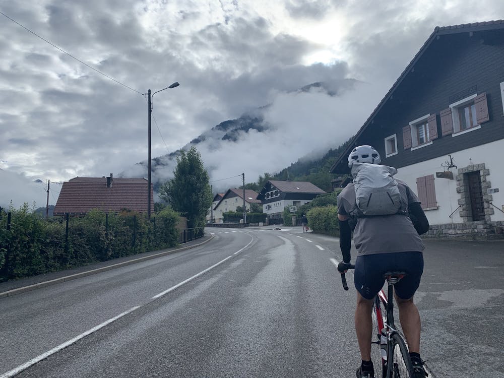
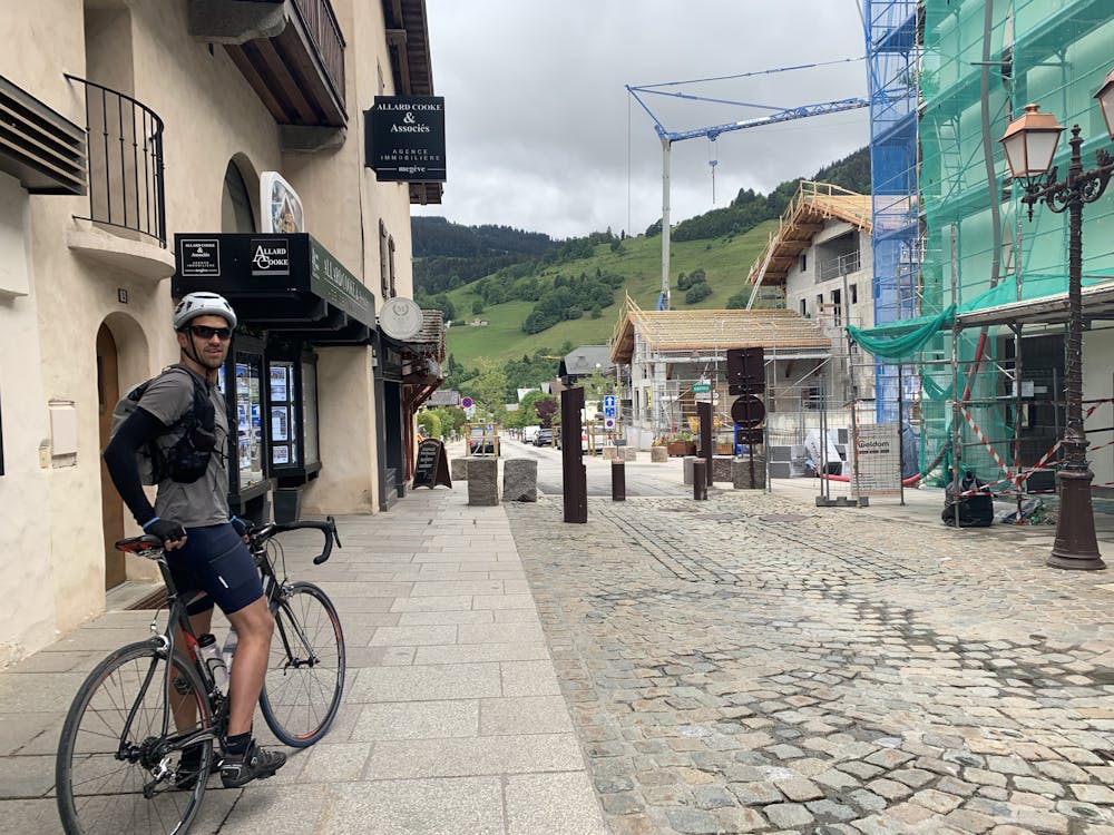
Our tour starts and ends right at the heart of the town of Chamonix at the church of Saint-Michel and conveniently also next to the tourism office. From here, we ride out of Chamonix along the river Arve through Les Bosson and Les Houches. The small town of Vaudagne is sleepy and not passed through as it once was before the highway was built into the valley, but this is the only road way to enter and exit Chamonix as the only other way is on trail or on the highway. Enjoy the descent from Vaugane all the way down to Passy as it will be your last true descent for some time.
From Passy, there are a few different ways to make our way into the Aravis Valley through St. Gervais and Megeve. This routes takes the traditional road into St. Gervais but there is also a slightly steeper, slightly less busy route due west of this if you prefer.
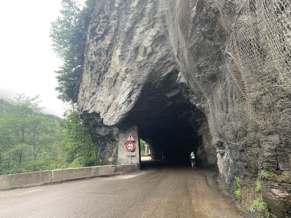
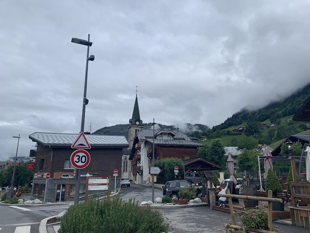
The climb to Megeve is gradual and calm. Stop along the way here for some food if you need as you will be getting into some much smaller towns and areas where places being open is not as deterministic. Our real entrance into the Aravis valley starts in Flumet. Flumet, as you might have guessed from the name, carries you through a Flume, through tunnels and winding roads towards La Giettaz. Watch this section of road for loose rocks and boulders as it is not uncommon to have them lie in the road. Luckily, this section is not very fast so you should be fine.
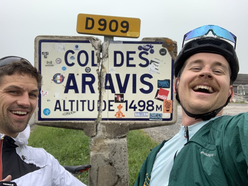
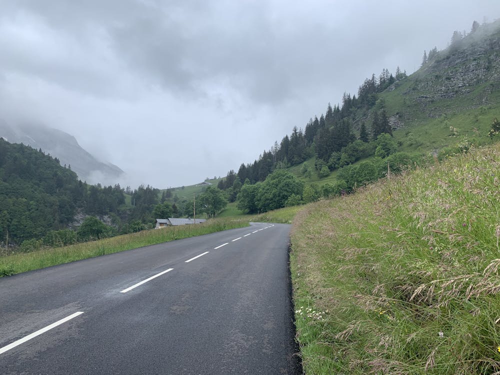
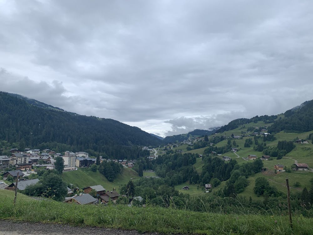
When you exit the Flume, you will see the face of your first real climb: The Col des Aravis. Easily one of the most famous Cols in the area, the Col des Aravis stands as the real geographical barrier to the heart of the Aravis valley. The climb is beautiful, not too steep, and hides the actual Aravis Valley as you approach it. You will switchback on the face of La Giettaz and it's cute restaurants and houses. At the top of your first Col, you will reach beautiful rolling green hills with some places to stop and eat a proper lunch if you choose.
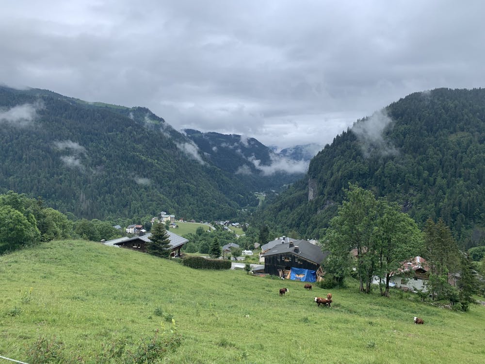
From here, after our hard work, we will be rewarded with a descent down into the famous ski area of La Clusaz. La Clusaz stands as a great starting point for all sorts of activity. You can ride up and over into the small town of Manigod and make your way towards Lac Annecy or try your hand at some more technical hiking and skiing up on something like Point Percee - the possibilities are endless. Additionally, La Clusaz is most likely one of the most populated spots along the ride if you need food, water, gear, etc. I would recommend getting it here before you leave.
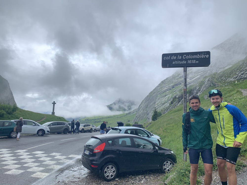
As we leave La Clusaz, we make our way to our second Col: the Col de la Colombiere. From Samance, the Col is not a very large effort but from La Clusaz, it might feel the opposite. We will make our way through the small town of La Grand Bornand and make our way towards Samance where we will make our final approach to the Col. Make sure to enjoy the beautiful limestone rock that the Aravis is famous for and its unique color on this climb. It will be brightly staring you in the face on your left the whole approach. In the winter, this Col is closed due to snow conditions but it is still very active. People use this as a skin track to approach the Col and then access a world of different ski tours from here. There are also two places at the top here where it is possible to get a drink or snack but it is much quieter than where we have been.
From here, we make a beautiful long descent into Cluses. Through the tiny village of Le Reposoir, we then enter the trees for a little bit of brake from from the Sun if we need it. There is a slight variant you can take here through the small town of Romme. A climb up to the town and then descent will cut off some of the more urban parts of this ride and is also very pretty but it will disrupt your long descent.
From Cluses, we have a bit of a "recovery" ride back to Servoz where we can take the bike path most of the way. I won't lie to you: this is the least pretty and least remote part of the ride. If you wish to shorten the length and not the beauty, Cluses is the place to drop your second car or figure out a way back to Chamonix.
Once we return to Servoz, we still have one smaller climb standing in our way and we have seen it already: Vaudagne. On a beautiful day, it is arguably one of the most beautiful road ascents around. You get to stare at Mont Blanc and the Massif the entire climb and get humbled by its size. When you reach the top of Vaudagne, you are pretty much home. The short descent and ride back into town will give you many options to stop for food (dinner if you plan it right) or drinks - for we all know, the ride is not done until the beers have clinked.
Difficulty
Difficult
Remoteness

Close to help in case of emergency.