2.9 km away
Tignes to the Belvédère
The sort of route you would only take if you were totally determined to avoid a lift!
Moderate Ski Touring
- Distance
- 26 km
- Ascent
- 916 m
- Descent
- 1.6 km
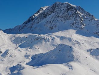
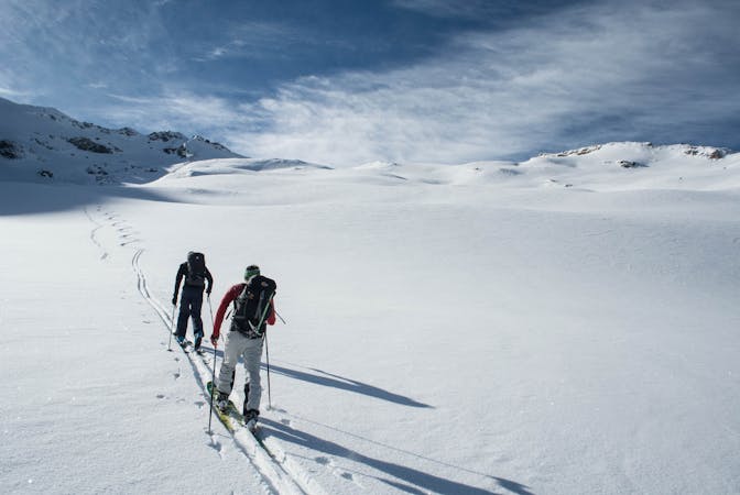
A classic route from L'Aiguille Percee to town via the Barbus shoots
Ski Touring Moderate

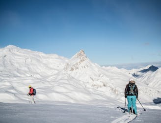
This is a popular ski touring route which is generally considered to be moderate. It's not remote, it features medium exposure (e2) and is typically done between December and April. From a low point of 2.1 km to the maximum altitude of 2.7 km, the route covers 2.3 km, 43 vertical metres of ascent and 670 vertical metres of descent. It's graded 2.3 and Labande grade 3. You'll need skins to complete it safely.
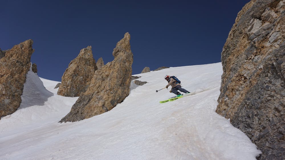
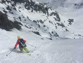
This run is from the top of L'Aiguille Percee down to the Barbus shoots where you can choose between multiple line options from steep 45+ degrees to more chilled 25+ degrees it then drops down to the top of the Almes lift and finishes in town.
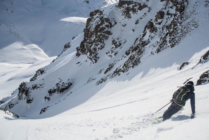
Moderate
Slopes become slightly steeper at around 25-30 degrees.

As well as the slope itself, there are some obstacles (such as rock outcrops) which could aggravate injury.

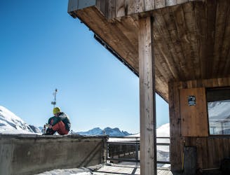
Close to help in case of emergency.
2.9 km away
The sort of route you would only take if you were totally determined to avoid a lift!
Moderate Ski Touring
3.9 km away
A beautiful tour through remote scenery, ideal for working on your fitness and keeping yourself well away from trouble on those high-risk days.
Easy Ski Touring
4.4 km away
An impressive south face on a stunning peak just a stone's throw from the Espace Killy
Extreme Ski Touring
6.1 km away
A reversal of the approach used to ascend the Aiguille de la Grande Sassière which winds its way down the Glacier de la Sassière.
Difficult Ski Touring
7 km away
Hard off piste ski, requires skins and knowledge
Severe Ski Touring
7.2 km away
What this ‘descent’ lacks in quality skiing, it more than makes up with some of the most stunning ski touring available for beginner backcountry skiers.
Easy Ski Touring
7.9 km away
Ski this huge descent which starts from the col splitting the two Tarentaise giants - the Grande Motte and the Grande Casse.
Severe Ski Touring
8.9 km away
This route is not visible from resort so it’s tough to check how the conditions are faring or how filled in the whole route is, but this is one incredible descent - take our word for it!
Extreme Ski Touring
9.6 km away
This multi-day tour takes you around the Grande Casse in spectacular scenery.
Severe Ski Touring
9.6 km away
A stunning face on the large mountain of Pierre Brune which flanks the southern end of the Vallon de la Leisse, descending back into the valley towards the Refuge de la Leisse.
Severe Ski Touring
5 routes · Ski Touring
19 routes · Ski Touring
5 routes · Freeride Skiing · Ski Touring