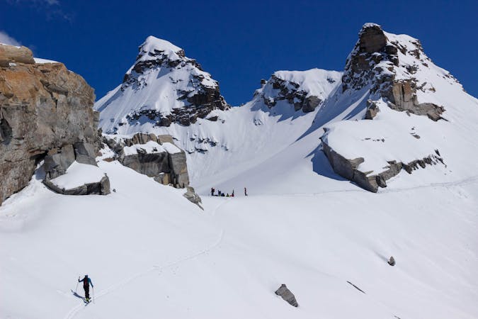
179 m away
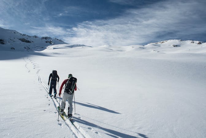
Bonneval to the Carro Hut
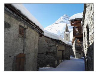
A positioning day from the roadhead in Bonneval to a high hut
Moderate Ski Touring
- Distance
- 8.5 km
- Ascent
- 960 m
- Descent
- 37 m
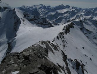
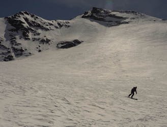
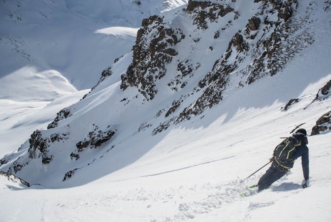
Itinéraire de ski de randonnée passant par le glacier inférieur du Vallonet pour le pic de l'Ouille du Midi
Ski Touring Difficult

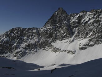
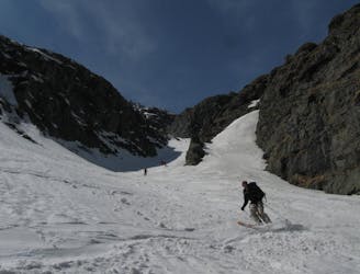
This is a popular ski touring route which is generally considered to be difficult. It's remote, it features medium exposure (e2) and is typically done between December and March. From a low point of 1.8 km to the maximum altitude of 3 km, the route covers 17 km, 1267 vertical metres of ascent and 1267 vertical metres of descent. It's graded 3.1 and Labande grade 4. You'll need rope, skins, ice axe, crampons and glacier kit to complete it safely.
Easy ascend by the slopes, nice views on the lower Vallonet glacier. Short exposure under the serac of the upper Vallonet glacier.
Difficult
Serious gradient of 30-38 degrees where a real risk of slipping exists.

As well as the slope itself, there are some obstacles (such as rock outcrops) which could aggravate injury.
Away from help but easily accessed.
179 m away
A positioning day from the roadhead in Bonneval to a high hut
Moderate Ski Touring
3.8 km away
A memorable ski mountaineering traverse, with the addition of the Passage du Colerin to take you over to Italy
Severe Ski Touring
5.4 km away
A great adventure! Take in the remote summit of the Grand Aiguille Rousse with a fantastic ski down the north face of this peak.
Severe Ski Touring
5.7 km away
BIG day with an amazing north facing glacial ski from the top of Pointe de Méan Martin.
Severe Ski Touring
7.1 km away
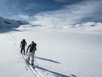
A crucial link between two high huts, with some long high glacial sections and fabulous mountain scenery
Difficult Ski Touring
8.7 km away
A big climb and a single huge descent on impressive N facing terrain
Difficult Ski Touring
8.7 km away
A great return trip up a very shapely peak
Moderate Ski Touring
9.3 km away
Taking in the classic peak of Tsanteleina, this line should be on the bucket list for all keen ski tourers in the region.
Severe Ski Touring
19 routes · Ski Touring
5 routes · Freeride Skiing · Ski Touring
6 routes · Ski Touring