2.4 km away
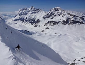
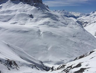
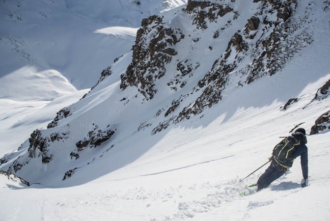
Pointe de la Sana, ENE Face
An imposing ENE facing line that watches over Val d’Isére.
Extreme Ski Touring
- Distance
- 3.6 km
- Ascent
- 383 m
- Descent
- 796 m
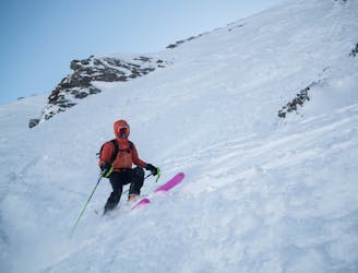
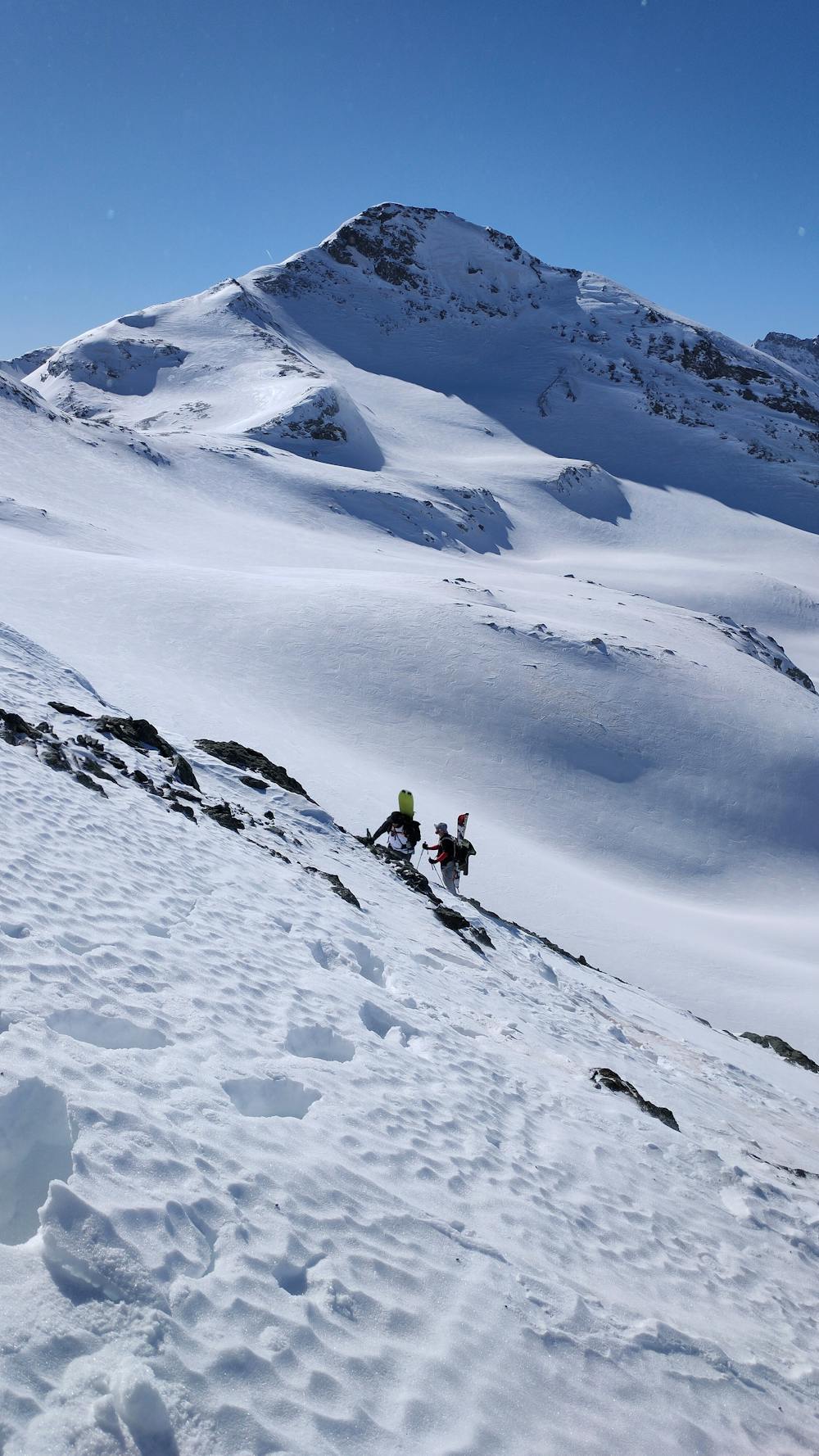
A mixture of ski touring bootpacking and scrambling
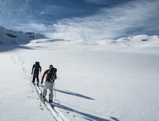
Ski Touring Difficult

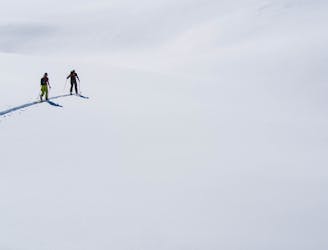
This is a popular ski touring route which is generally considered to be difficult. It's extremely remote, it features high exposure (e3) and is typically done between February and April. From a low point of 2.3 km to the maximum altitude of 3.3 km, the route covers 10 km, 1015 vertical metres of ascent and 1052 vertical metres of descent. It's graded 3.1 and Labande grade 3. You'll need skins, crampons and glacier kit to complete it safely.
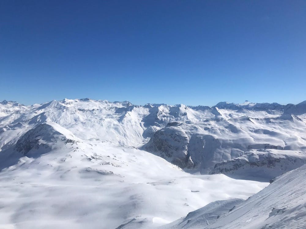
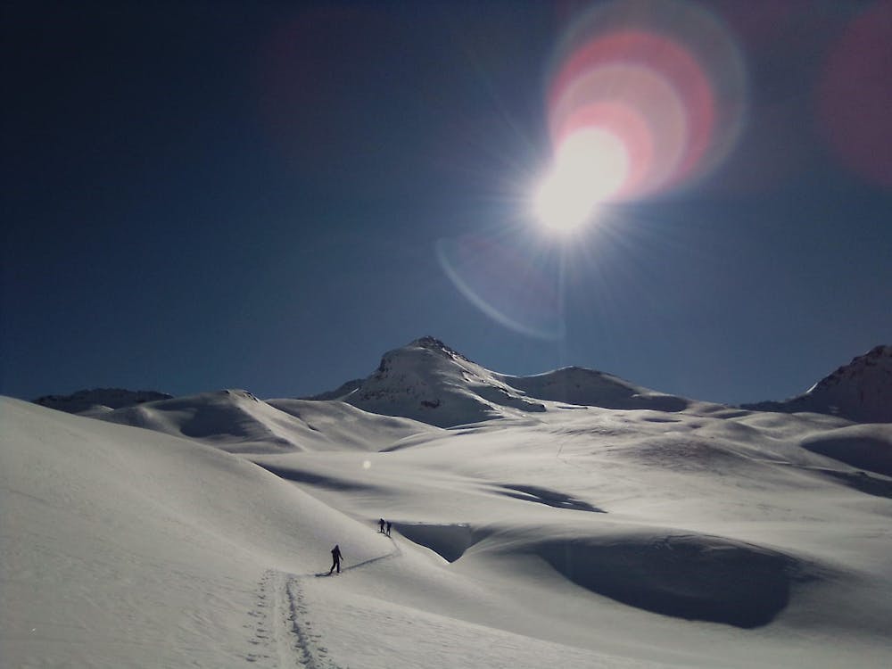
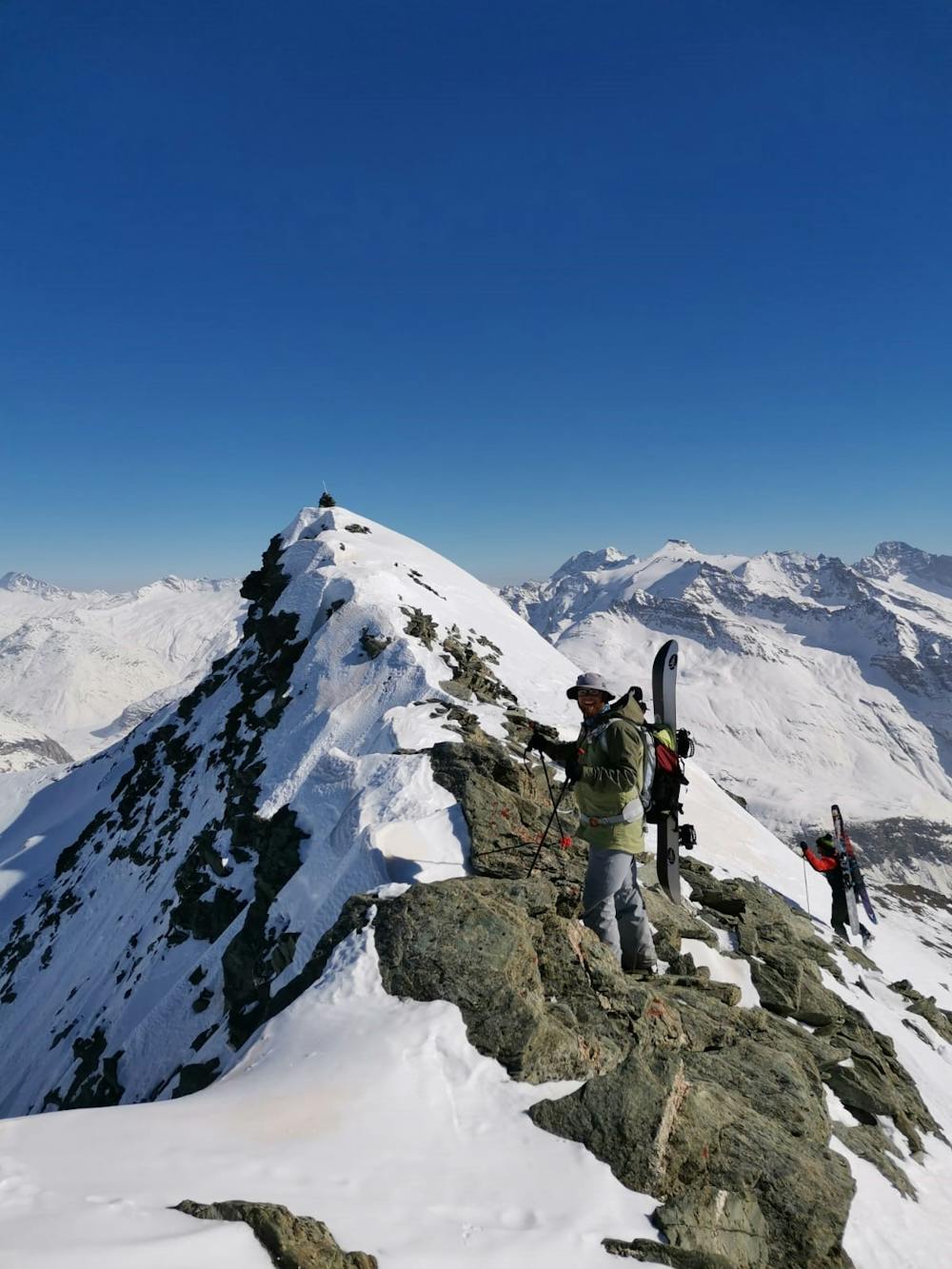
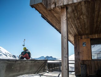
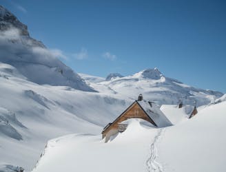
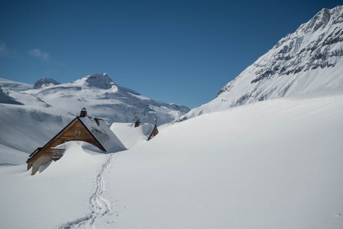
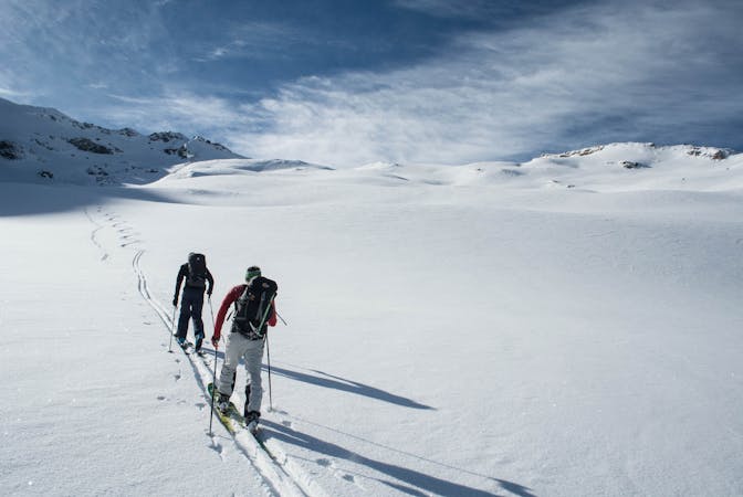
This is a day trip from Refuge de la Femma up to Mean Martin with sections of glacial travel and bootpack with crampons.
Difficult
Serious gradient of 30-38 degrees where a real risk of slipping exists.

In case of a fall, death is highly likely.

In the high mountains or remote conditions, all individuals must be completely autonomous in every situation.
2.4 km away
An imposing ENE facing line that watches over Val d’Isére.
Extreme Ski Touring
2.6 km away
A great peak that provides an epic day out for strong ski tourers, or the perfect training peak for the fit!
Moderate Ski Touring
2.6 km away
A rarely visited gem that takes you through some breathtaking alpine terrain.
Severe Ski Touring
2.6 km away
Steep, consistently exposed and tricky route finding - one for the seasoned experts.
Extreme Ski Touring
2.6 km away
A wild face which quickly funnels into a narrow couloir leading back to Tignes via the Vallon de la Leisse.
Extreme Ski Touring
5.3 km away
A stunning face on the large mountain of Pierre Brune which flanks the southern end of the Vallon de la Leisse, descending back into the valley towards the Refuge de la Leisse.
Severe Ski Touring
5.3 km away
This multi-day tour takes you around the Grande Casse in spectacular scenery.
Severe Ski Touring
6.7 km away
What this ‘descent’ lacks in quality skiing, it more than makes up with some of the most stunning ski touring available for beginner backcountry skiers.
Easy Ski Touring
7.1 km away
Ski this huge descent which starts from the col splitting the two Tarentaise giants - the Grande Motte and the Grande Casse.
Severe Ski Touring
8.4 km away
BIG day with an amazing north facing glacial ski from the top of Pointe de Méan Martin.
Severe Ski Touring
5 routes · Ski Touring
19 routes · Ski Touring
5 routes · Freeride Skiing · Ski Touring