9 km away
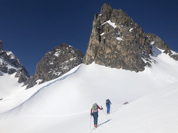
Mont Thabor Circuit. I Re Magi Hut to Nevache
One big climb over a steady col then a long descent to Nevache.
Moderate Ski Touring
- Distance
- 13 km
- Ascent
- 929 m
- Descent
- 1.1 km
Nuits refuge du Mont Thabor et Drayeres
Ski Touring Difficult

This is a popular ski touring route which is generally considered to be difficult. It's not remote, it features low exposure (e1) and is typically done between February and March. From a low point of 1.6 km to the maximum altitude of 3.2 km, the route covers 37 km, 3173 vertical metres of ascent and 4333 vertical metres of descent. It's graded 2.3 and Labande grade 1. You'll need skins to complete it safely.
Tour du mont Thabor depuis Valfrejus avec passage au sommet du Thabor
Difficult
Serious gradient of 30-38 degrees where a real risk of slipping exists.

Exposure is limited to that of the slope itself. Getting hurt is still likely if the slope is steep and/or the snow is hard.
Close to help in case of emergency.
9 km away
One big climb over a steady col then a long descent to Nevache.
Moderate Ski Touring
4 routes · Ski Touring