Achères-la-Forêt - 3 Pignons
Daily hike through the Massif des 3 Pignons
Hiking Easy
- Distance
- 17 km
- Ascent
- 164 m
- Descent
- 164 m
- Duration
- 3-4 hrs
- Low Point
- 67 m
- High Point
- 121 m
- Gradient
- 3˚

This is a popular hiking route which is generally considered to be easy. It's not remote, it features low exposure and is typically done all year round. From a low point of 67 m to the maximum altitude of 121 m, the route covers 17 km, 164 vertical metres of ascent and 164 vertical metres of descent.
Description
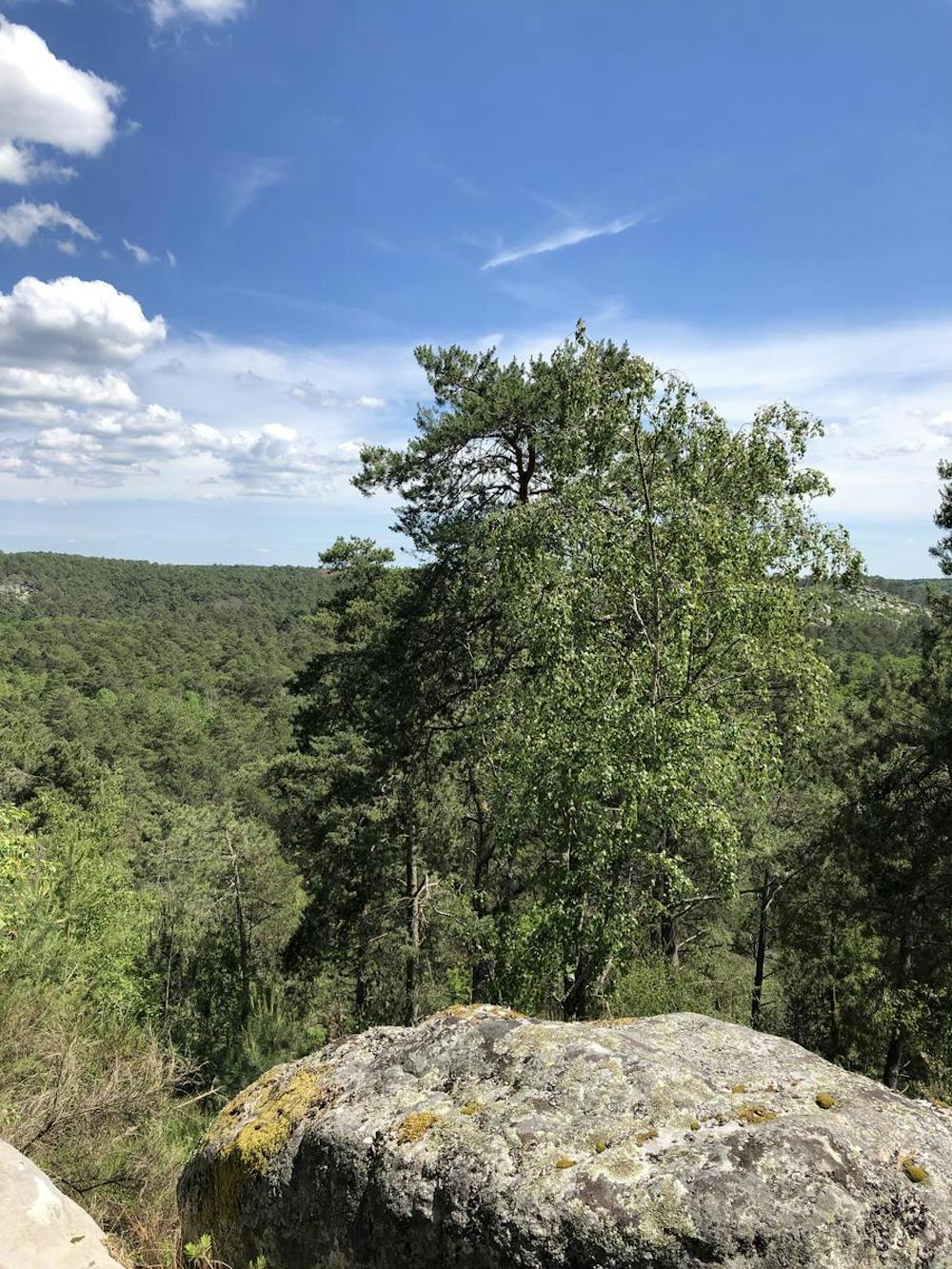
Daily hike starting from Achères-la-Forêt, then going through the Massif des 3 Pignons, then back through le Vaudoué and Meun.
Difficulty
Easy
Walking along a well-kept trail that’s mostly flat. No obstacles are present.
Low Exposure

The path is on completely flat land and potential injury is limited to falling over.
Remoteness
Close to help in case of emergency.
Best time to visit
Features
- Picturesque
- Forestry or heavy vegetation