Wertacher Hörnle Summer Hike
A popular, easy and classic hike up Wertacher Hörnle
Hiking Easy
- Distance
- 8.6 km
- Ascent
- 675 m
- Descent
- 674 m
- Duration
- 2-3 hrs
- Low Point
- 1 km
- High Point
- 1.7 km
- Gradient
- 15˚

A popular, easy and classic hike up Wertacher Hörnle, that delivers great views of the Allgäu.
- •
- •
- •
Description
One of the most well known hikes in the area, this route can get BUSY! So make sure you get to the parking early (or late) to ensure you even find a space.
Definitely don't attempt to drive up the road any further, you'll not please the locals and you'll be told to turn around.
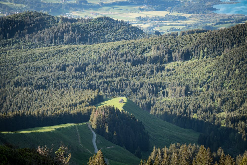
From the parking you can followed the marked trail to the left or the easier forest road to the right - both will lead up to the mountain hut, Buchel Alpe, which is open in the summer.
From the hut, the gravel road gets steeper and more challenging but the higher you climb the better the views down towards the Tannheimertal Valley in Austria.
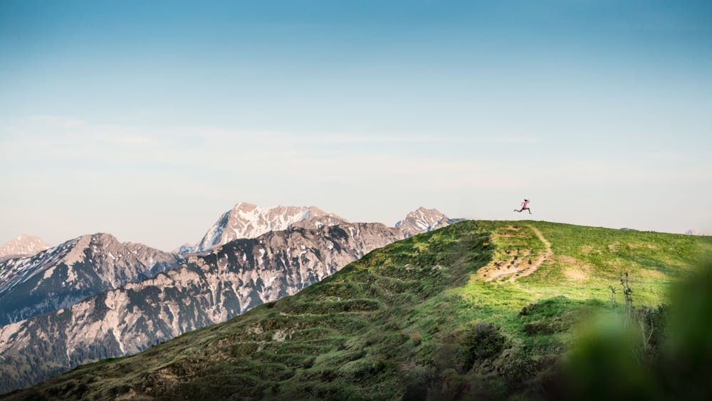
You'll eventually see the summit up and ahead of you. But wait, it's a false summit! The actual summit of Wertacher Hörnle is a few hundred metres further along.
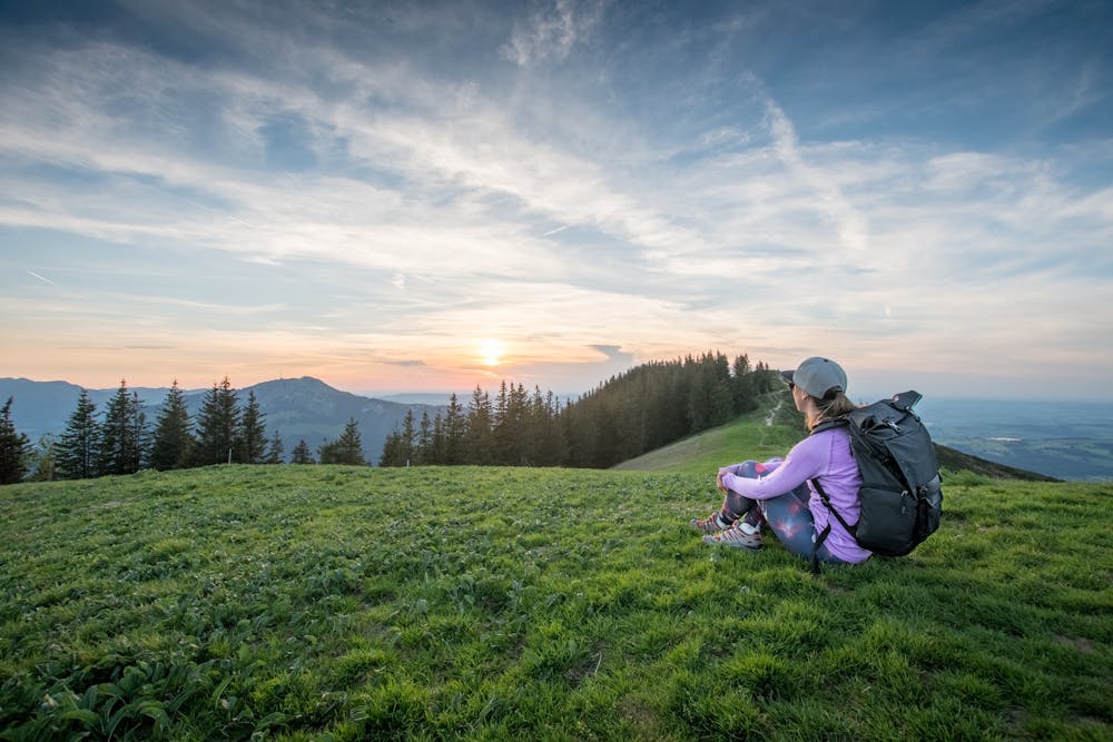
Once there, you'll see views of the flat plains of Bavaria to the North and a wall of Alpine mountains to the south.
There are a few different return options back to the car park if you want to complete a full loop, or you can simply return the way you came.
Difficulty
Easy
Walking along a well-kept trail that’s mostly flat. No obstacles are present.