5.9 km away
Olympiapark Loop

A scenic loop around some historic sites.
Moderate Trail Running
- Distance
- 8.9 km
- Ascent
- 84 m
- Descent
- 84 m
A beautiful trip through one of the finest parks in Germany.
Trail Running Moderate

The Englischer Garten in Munich is one of the most extraordinary places you will ever find for running - it's huge, peaceful and serene but runs right through all the hustle and bustle of Munich. The capital of Bavaria, Munich is a modern city full of culture and life, and yet this garden bisects it to provide an oasis of calm in the unlikeliest of places.


This run through the garden is well served by public transport and therefore there are no logistical issues to worry about. Once underway there is very little undulation and no obstacles - this a straightforward, non-technical trip on good paths all the way.
Start the day by catching the U6 Ubahn train north to Fröttmaning station. Exit the station and run north to the Allianz Arena - the home of Bayern Munich. Take a moment to admire the stadium (which is utterly spectacular from an architectural point of view) and then cross the highway immediately east of the stadium to reach the Fröttmaninger Berg park. Traverse around the southern edge of this and then enter the Englischer Garten itself.
Run south-southwest through the Garten, taking whichever path looks most appealing. The line shown here is merely a suggestion - as you will be able to tell from the map there are literally hundreds of routes you could take to traverse the garden.
Regardless of which paths you choose to take, 2 parts of the Garten should not be missed - The Kleinhesseloher See and Chinesischen Turm. The See is a gorgeous lake, and the Turm is a beautiful tower nestled into the forests. The line drawn here takes you past both.
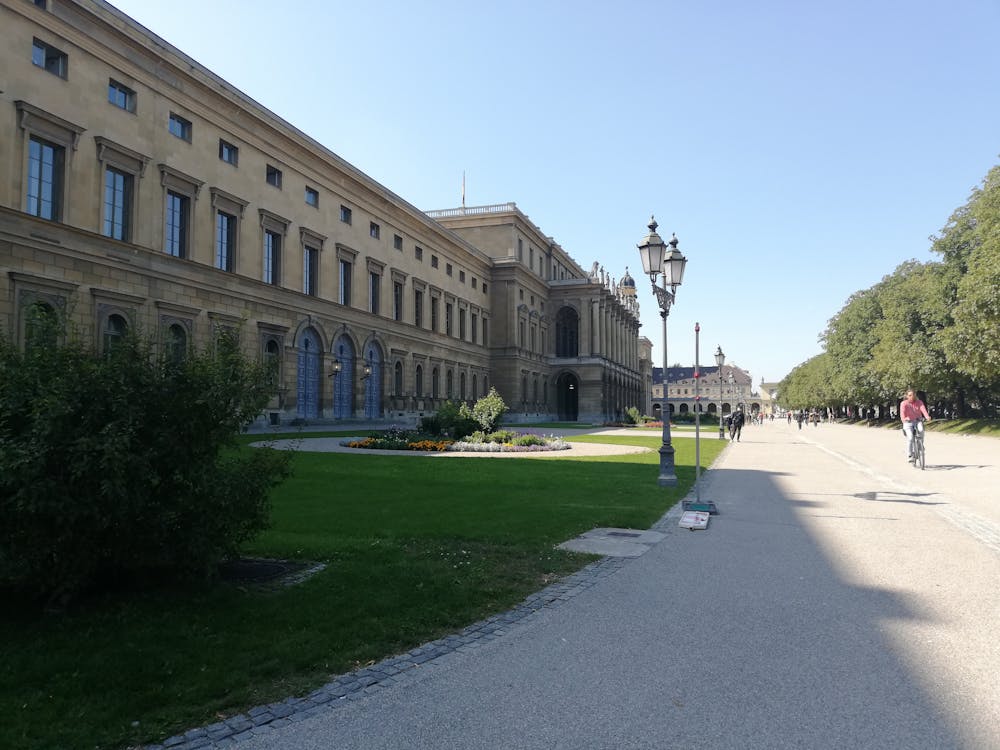
Upon reaching the southern end of the Garten continue in the same direction through the small Hofgarten and along some city streets to reach the Marienplatz - the centre of Munich city.
Moderate

The path is on completely flat land and potential injury is limited to falling over.

Away from help but easily accessed.
5.9 km away
A scenic loop around some historic sites.
Moderate Trail Running

7 routes · Alpine Climbing · Mountain Biking · Hiking · Trail Running