6.3 km away
Schlosspark Niederschönhausen Loop
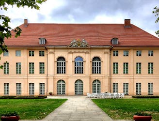
Pedal out from Prenzlauer Berg to Pankow's beautiful baroque castle.
Moderate Road Biking
- Distance
- 23 km
- Ascent
- 57 m
- Descent
- 57 m
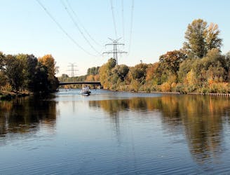
Pass through plenty of parks, along a river, and around a lake in this 36km bike loop along part of the Berliner Mauerweg (Berlin Wall) trail.
Road Biking Moderate

Beginning and ending at Karl-Bonhoeffer-Nervenklinik station in Reinickendorf, cycle along part of the famous Berliner Mauerweg to the popular lake Tegeler See. The route takes you right along the banks of Tegeler See lake and the river Havel, as well as the former border control road used by GDR patrol officers. Along the way, you will spot remaining fragments of the Berlin Wall and a Stasi Watchtower.
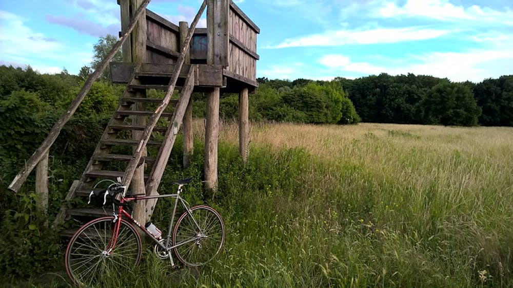
As well as history lessons, the trail is also full of natural beauty as it passes through many green and leafy areas, before returning to the starting point at Karl-Bonhoeffer-Nervenklinik where you can take public transport back home.
Moderate
6.3 km away
Pedal out from Prenzlauer Berg to Pankow's beautiful baroque castle.
Moderate Road Biking
7.7 km away
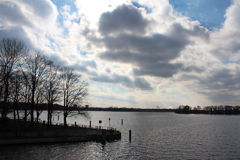
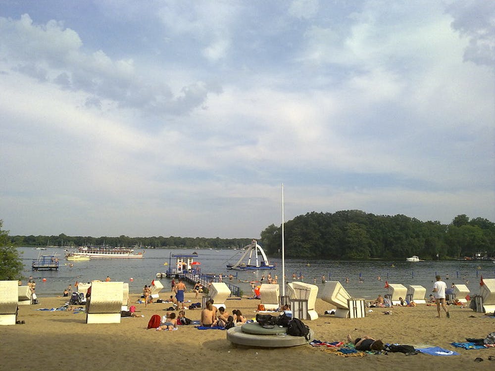
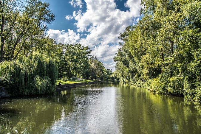
Cycle along Berlin’s much loved river Spree and one of its main canals.
Moderate Road Biking
5 routes · Gravel Biking · Road Biking