Willingen Bike Park Freeride Track
The Freeride track
Mountain Biking Moderate
- Distance
- 2.9 km
- Ascent
- 2 m
- Descent
- 259 m
- Duration
- 0-1 hrs
- Low Point
- 574 m
- High Point
- 830 m
- Gradient
- 7˚

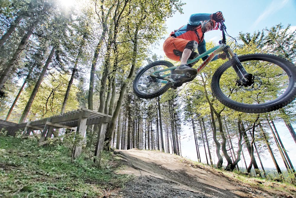
A fun, flowy freeride trail from the top of the Willingen Bike Park.
- •
- •
Description
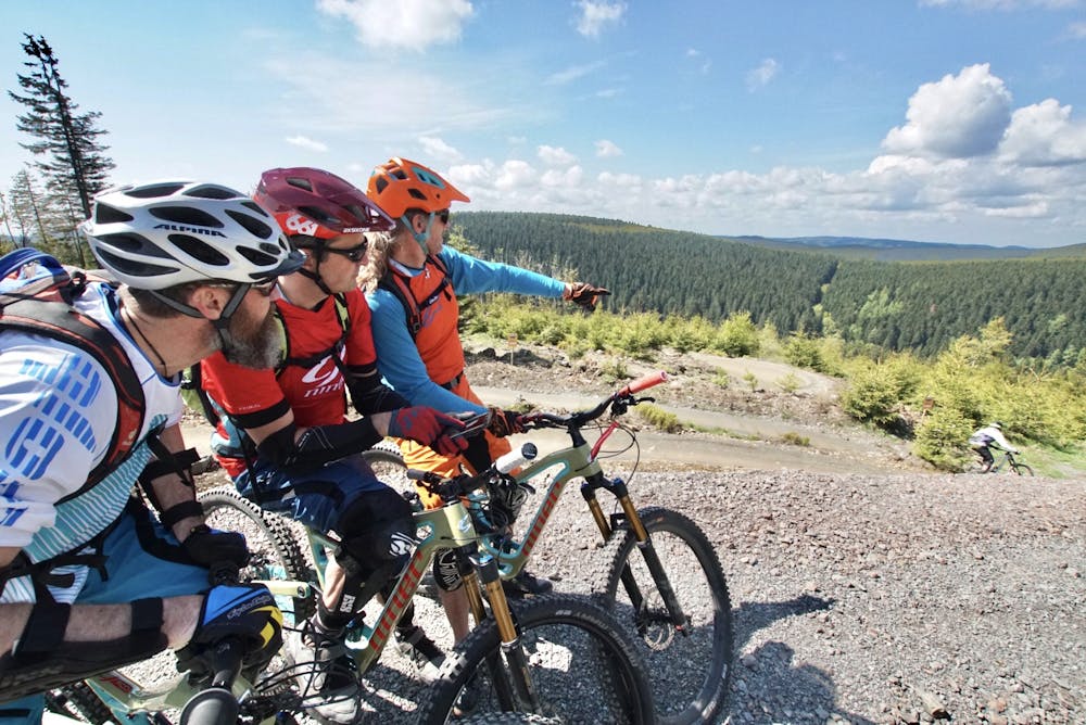
Take either the main cabin lift or the Sesselbahn chari lift from the bottom of the bike park to get to the top of this route.
The route is easily sign-posted at the top.
It is a mixture of well prepared, open berms and some tree sections. All of it is relatively easy and there are some optional north shore sections that you can choose to do.
From top to bottom only takes about 10-15 minutes.
Difficulty
Moderate
Mostly stable trail tread with some variability, with unavoidable obstacles 8in/20cm tall or less. Other obstacles such as rock gullies and steep sections may exist. Ideal for lower intermediate riders.
Low Exposure

The path is on completely flat land and potential injury is limited to falling over.
Remoteness
Close to help in case of emergency.
Best time to visit
Features
- Flow
- Jumps
- Tabletops
- Wooden Feature