Olympus 12 Refuge Trail
A hiking trail that connects the 12 most-famous organized mountain refuges and emergency shelters of Mt Olympus in a single trek, that crosses the top of Mitikas and goes around its mountain mass.
Hiking Difficult
- Distance
- 95 km
- Ascent
- 7.1 km
- Descent
- 7.1 km
- Duration
- 1 day +
- Low Point
- 749 m
- High Point
- 2.8 km
- Gradient
- 23˚

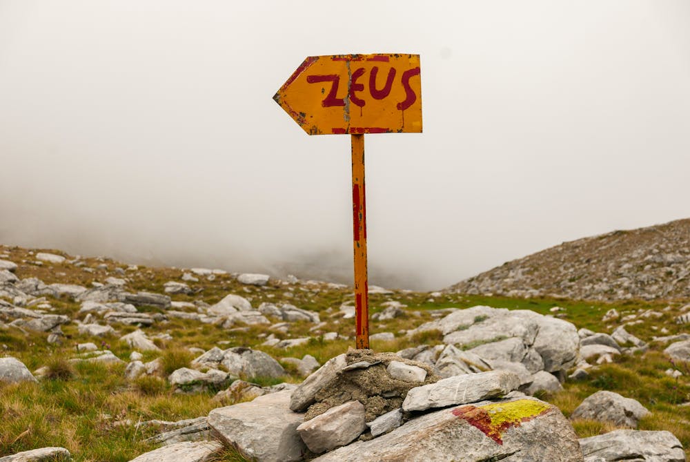
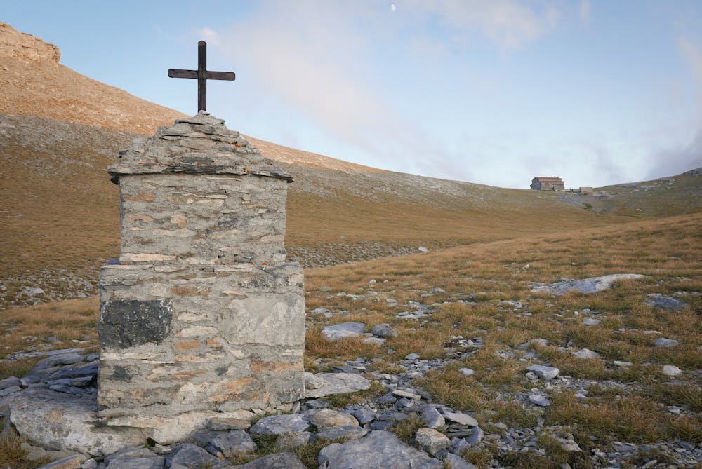
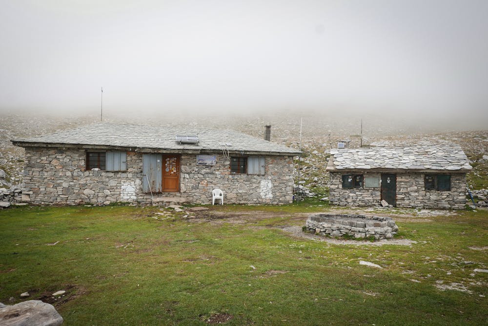
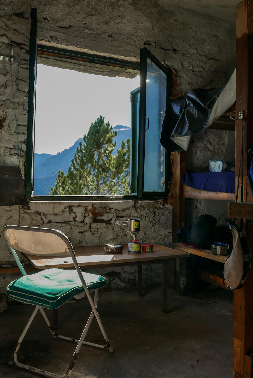
By following well-established hiking trails, this trek 'connects' the 12 mountain refuges of Mt Olympus into a single path. It starts and ends at the Bountolas refuge, located above Litohoro, and goes through both the organized refuges and the more hard-to-reach emergency shelters (Koromilia, Petrostrouga, Krevatia, Apostolidis, Kakkalos, Agapitos, Laka Christaki, Salatoura, Agios Antonis, Migotzidis, and Livadaki).
- •
- •
- •
- •
- •
- •
- •
- •
- •
- •
- •
- •
Description
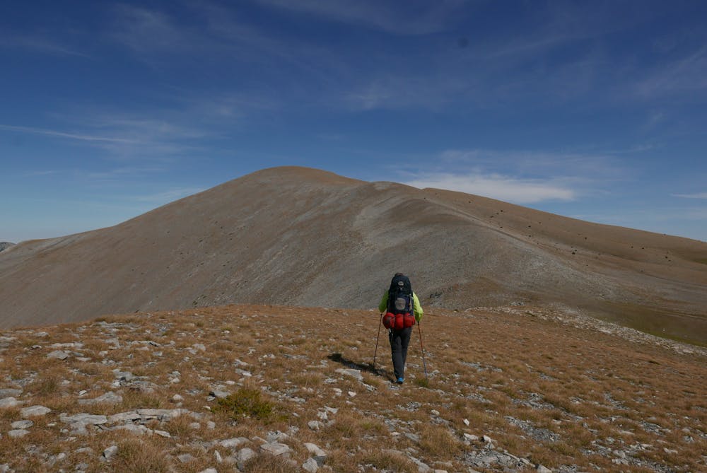
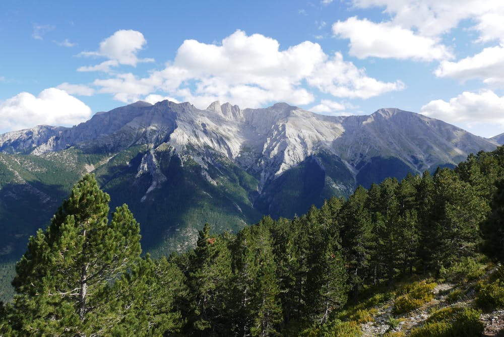
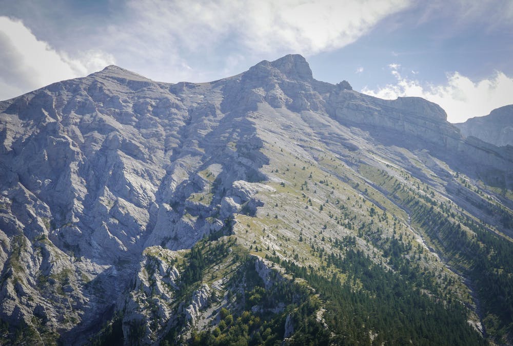
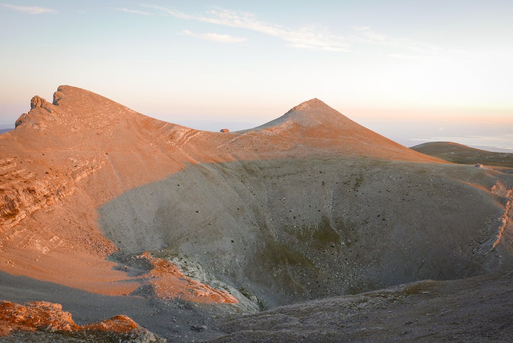
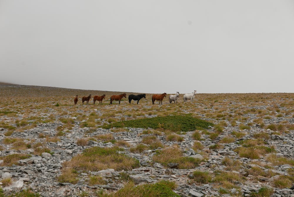
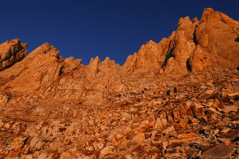
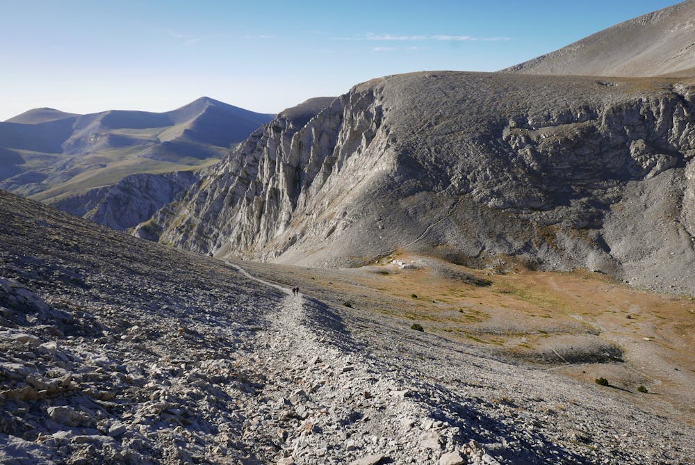
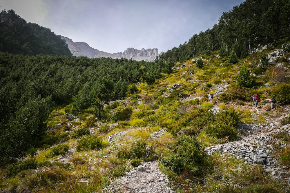
The loop path offers an astonishing naturally diverse nature and terrain, along with breathtaking views of the Mountain of the Gods. A hiker will discover the hidden beauties of Olympus and especially those of the south and west side, which despite the increased traffic in recent years, are unknown to most visitors.
For more information, check our FatMap routes or follow our Social Media pages: @12refugetrail
Feel free to contact in case you need any information!
Difficulty
Difficult
Hiking trails where obstacles such as rocks or roots are prevalent. Some obstacles can require care to step over or around. At times, the trail can be worn and eroded. The grade of the trail is generally quite steep, and can often lead to strenuous hiking.
High Exposure

Some trail sections have exposed ledges or steep ascents/descents where falling could cause serious injury.
Remoteness

Away from help but easily accessed.
Best time to visit
Features
- Alpine
- Wildlife
- Picturesque
- Summit Hike
- Wild flowers
- Forestry or heavy vegetation