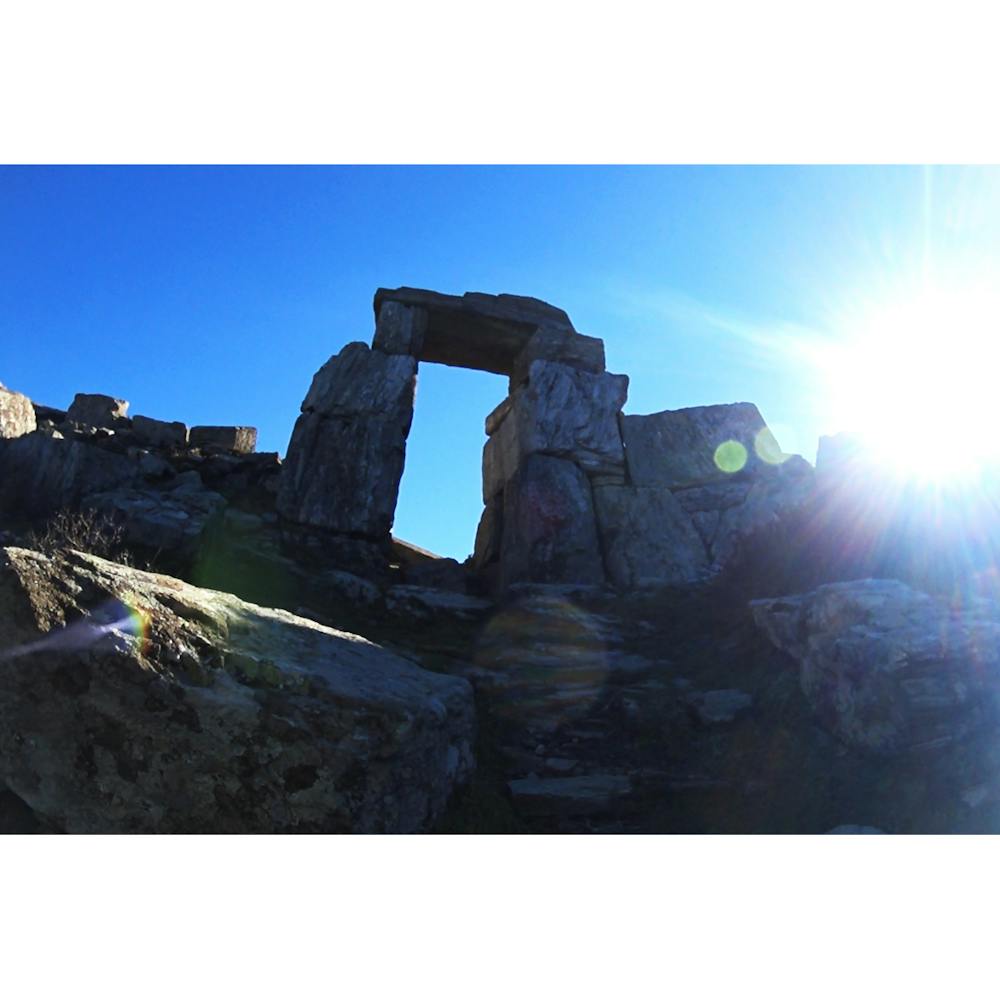
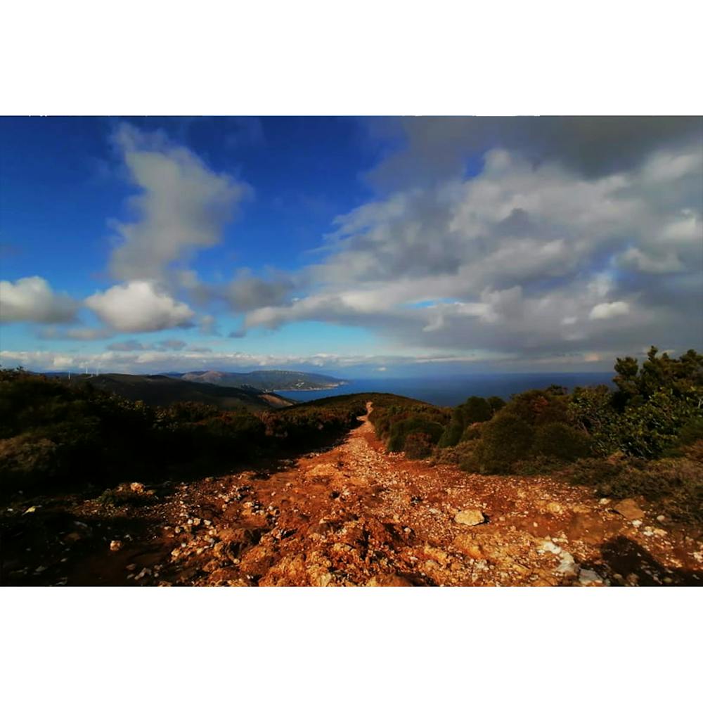
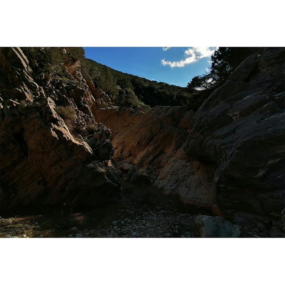
Armeno Gate Trail 28k
All kinds of terrain .Mostly rocks. The rest is trails,dirtroads,gorge,some sand and 2-3klm road.
Trail Running Difficult
- Distance
- 29 km
- Ascent
- 1.4 km
- Descent
- 1.4 km
- Duration
- 4-5 hrs
- Low Point
- 10 m
- High Point
- 647 m
- Gradient
- 17˚

This is a popular trail running route which is generally considered to be difficult. It's very remote, it features medium exposure and is typically done all year round. From a low point of 10 m to the maximum altitude of 647 m, the route covers 29 km, 1384 vertical metres of ascent and 1393 vertical metres of descent.
- •
- •
- •
- •
Description
Pack some water (no refill,streams,lakes etc) Also some food would be a must.
Difficulty
Difficult
Medium Exposure

The trail contains some obstacles such as outcroppings and rock which could cause injury.
Remoteness

Little chance of being seen or helped in case of an accident.