6.5 km away
Mt Harvey - Southwest Ridge
A steep hike, with an easy scramble to the summit
Severe Hiking
- Distance
- 13 km
- Ascent
- 1.6 km
- Descent
- 1.6 km
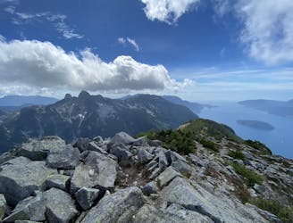
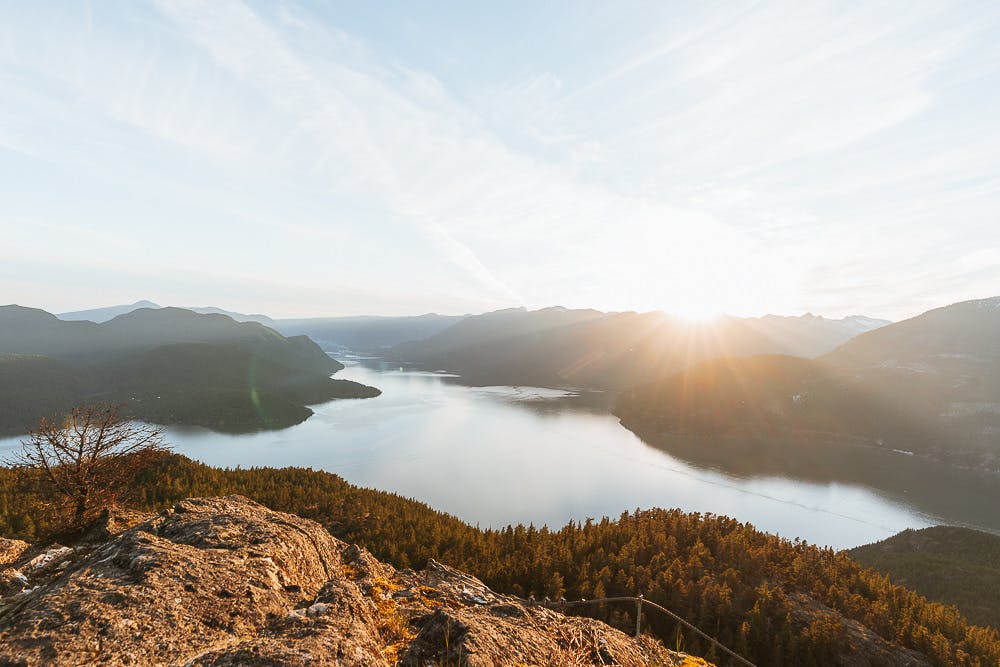
Enjoy fabulous 360° views of Howe Sound
Hiking Difficult

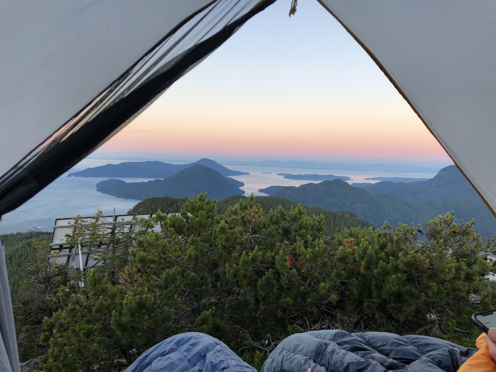
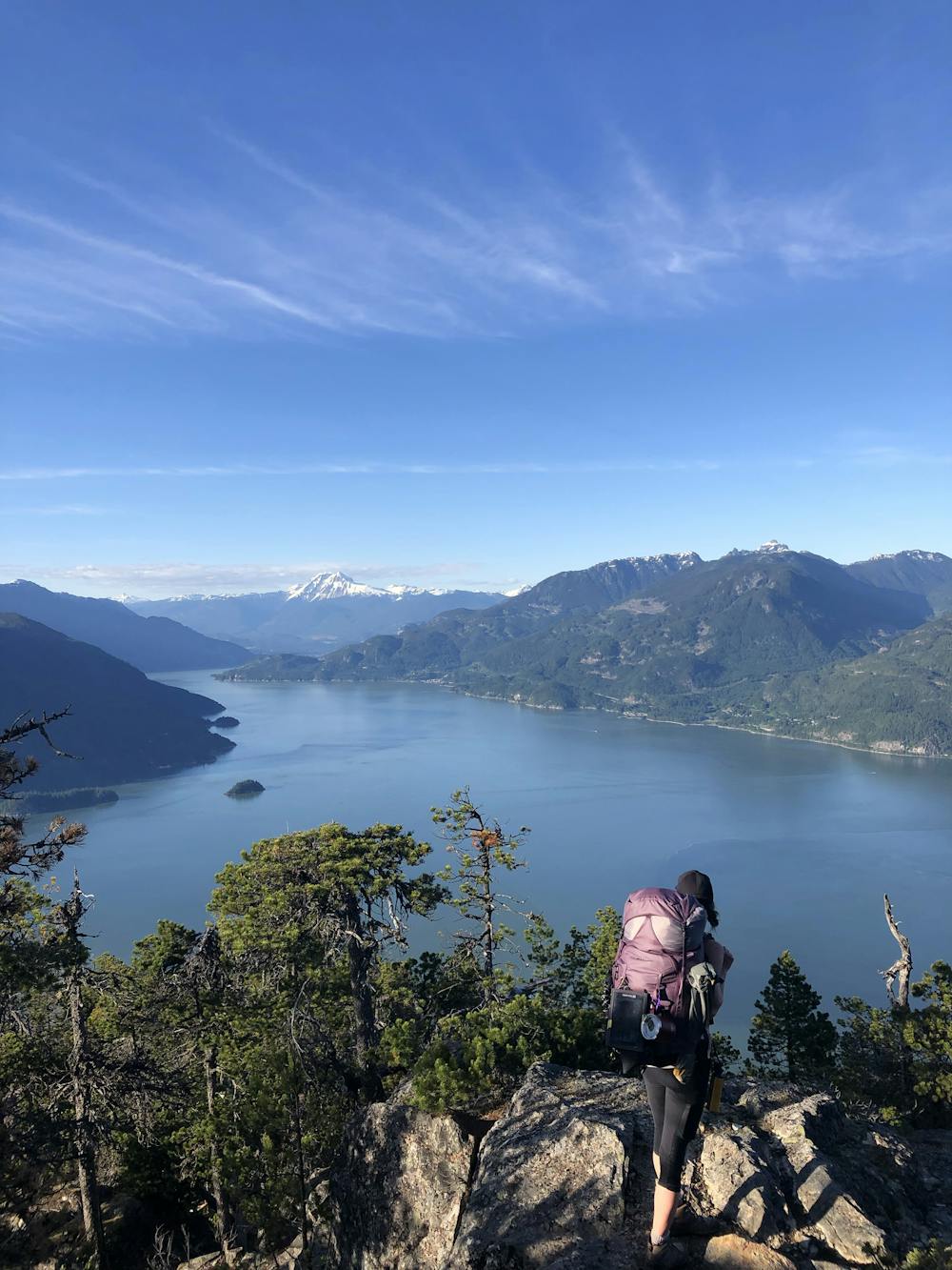
Leading Peak on Anvil Island is not a stroll in the park. Although only just over 5km in distance, you climb over 750m of elevation, making it a pretty good day out! Leading Peak can either be completed as a day hike (around 5 hours), or (with prior organisation & permission from Daybreak Point Bible Camp), can be made into a stunning overnight adventure with outstanding views from Mount Baker & Olympic National Park in Washington, USA beyond the iconic Black Tusk.
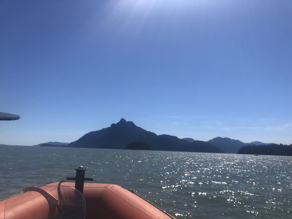


Your water taxi will drop you at the Bible Camp (check the camp’s website for restrictions as landing is only allowed in certain months and times) where you will be “escorted” to the trailhead.
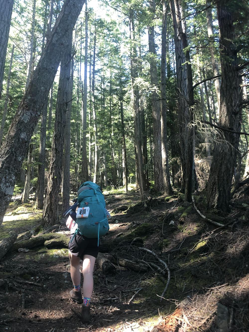
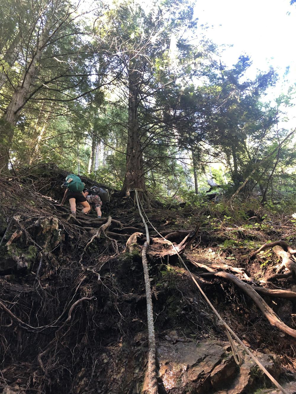
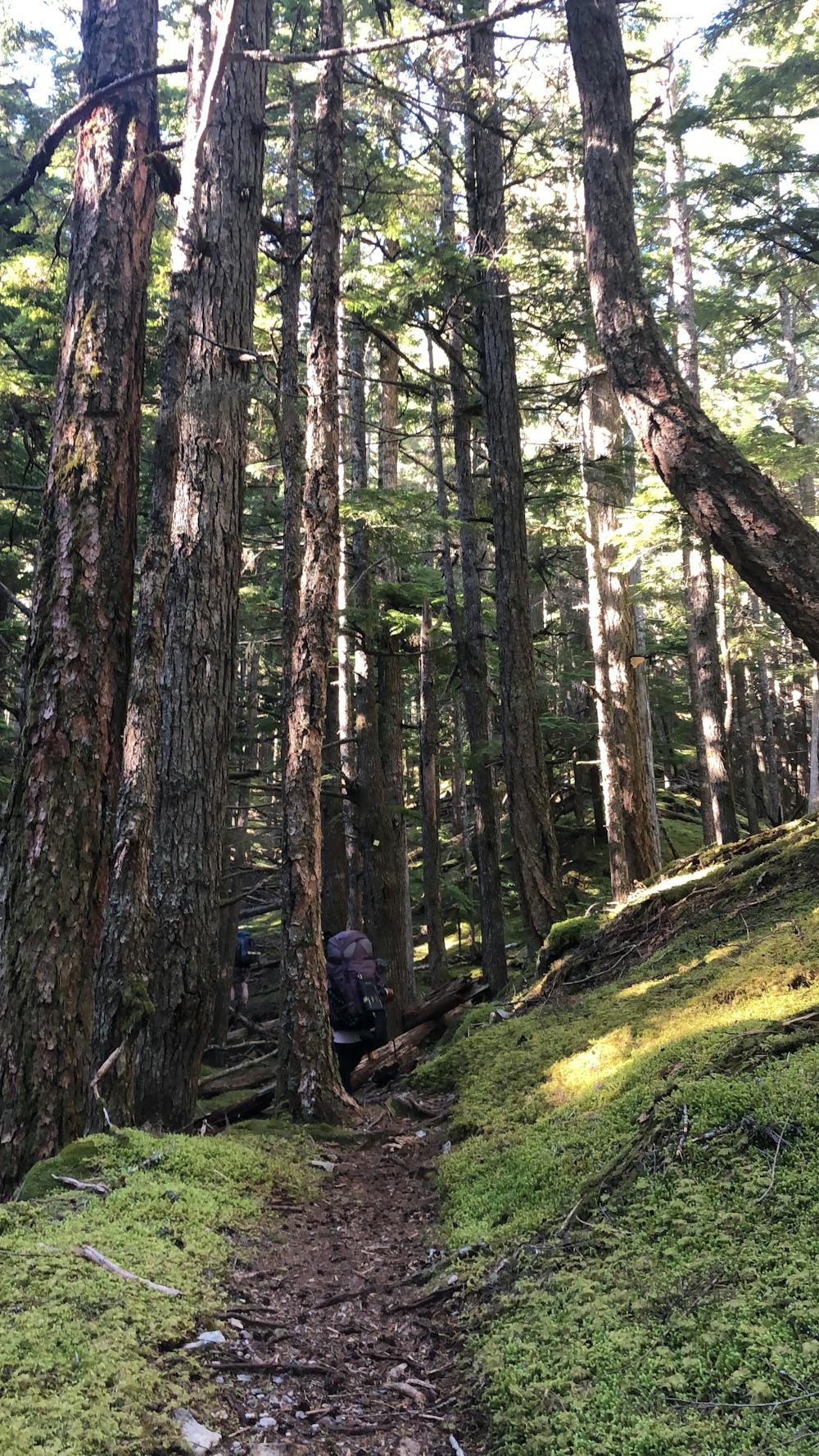
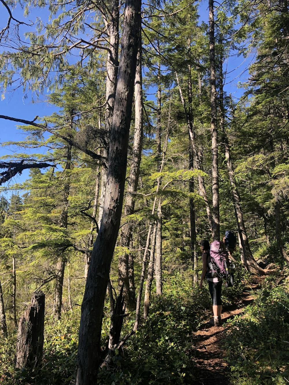
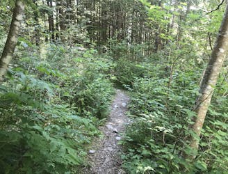
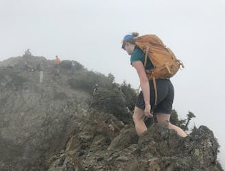
From here the trail is pretty straightforward with minimal route finding. It is well flagged with orange markers on the trees going up and down. The trail is steep from the start. You face a couple of small creek crossings fairly early on as well as some good scrambles over rocks and roots - with assistance from fixed ropes if required.
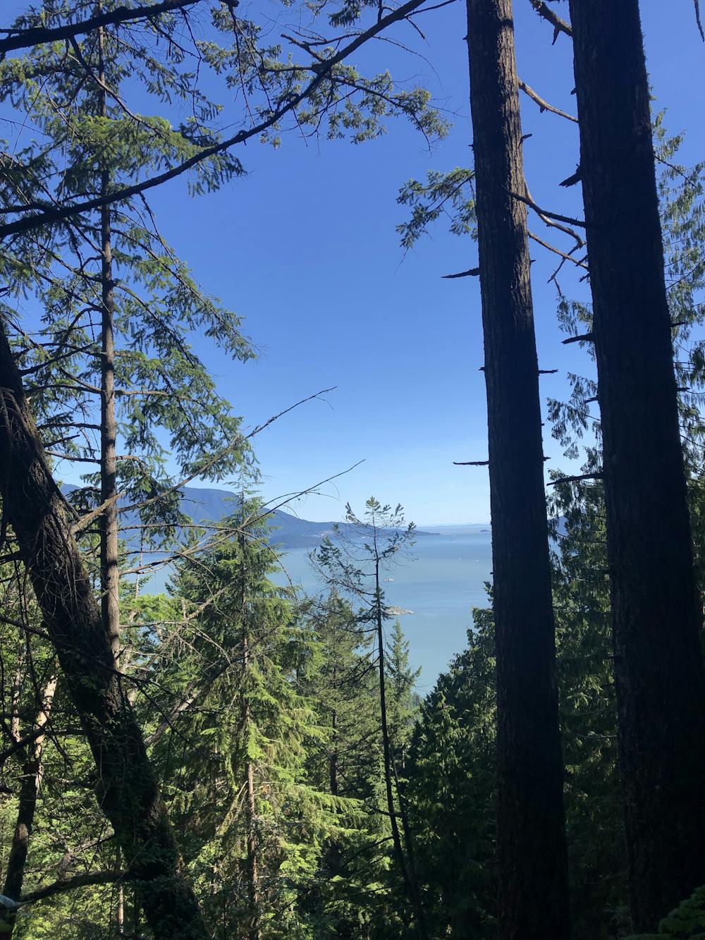
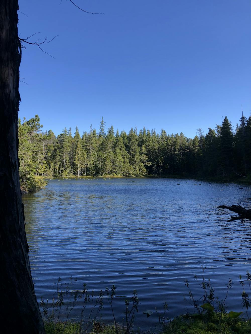
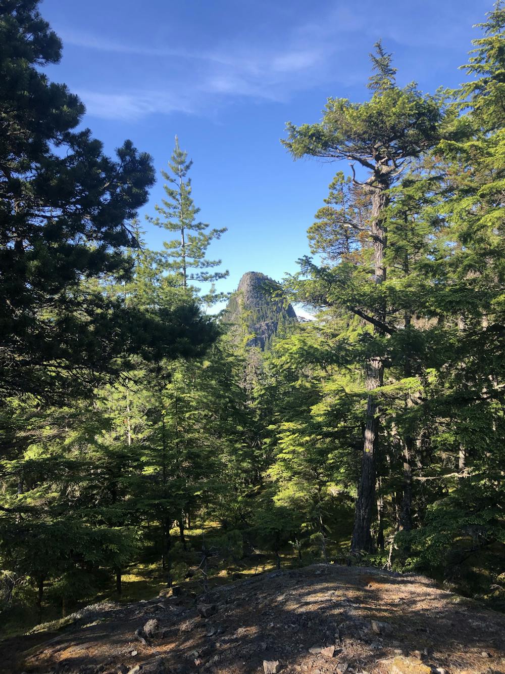
The dense forest keeps you mostly shaded throughout the hike. There are a couple of well-signed lookouts as you gain elevation. Just beyond the lake is your stunning glimpse of what’s left to hike - Leading Peak standing tall gives you that mix of excitement and steep scrambl-y dread!
A couple of flatter parts and downs after the lake provide a bit of relief on the legs before the last steep section. The ascent from the North side is the only way to the peak. The path is clear and there are some more scrambling sections, with ropes.
One part to pay attention as the trees start to thin. A white (fairly high) will provide an incredible view over to the Sunshine Coast. Don’t continue straight! Look for a half-broken wooden sign that indicates the Peak is up another rock scramble. From here, another 10-15 minutes until you reach the top for the incredibly rewarding views of Leading Peak.
Notes:
Difficult
Hiking trails where obstacles such as rocks or roots are prevalent. Some obstacles can require care to step over or around. At times, the trail can be worn and eroded. The grade of the trail is generally quite steep, and can often lead to strenuous hiking.

The trail contains some obstacles such as outcroppings and rock which could cause injury.

Little chance of being seen or helped in case of an accident.
6.5 km away
A steep hike, with an easy scramble to the summit
Severe Hiking
6.5 km away
The safe and legal option for hiking Tunnel Bluffs.
Easy Hiking
6.6 km away
A steep climb with an short, but thrilling narrow exposed ridge to a beautiful summit.
Extreme Hiking
7 km away
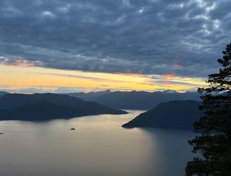
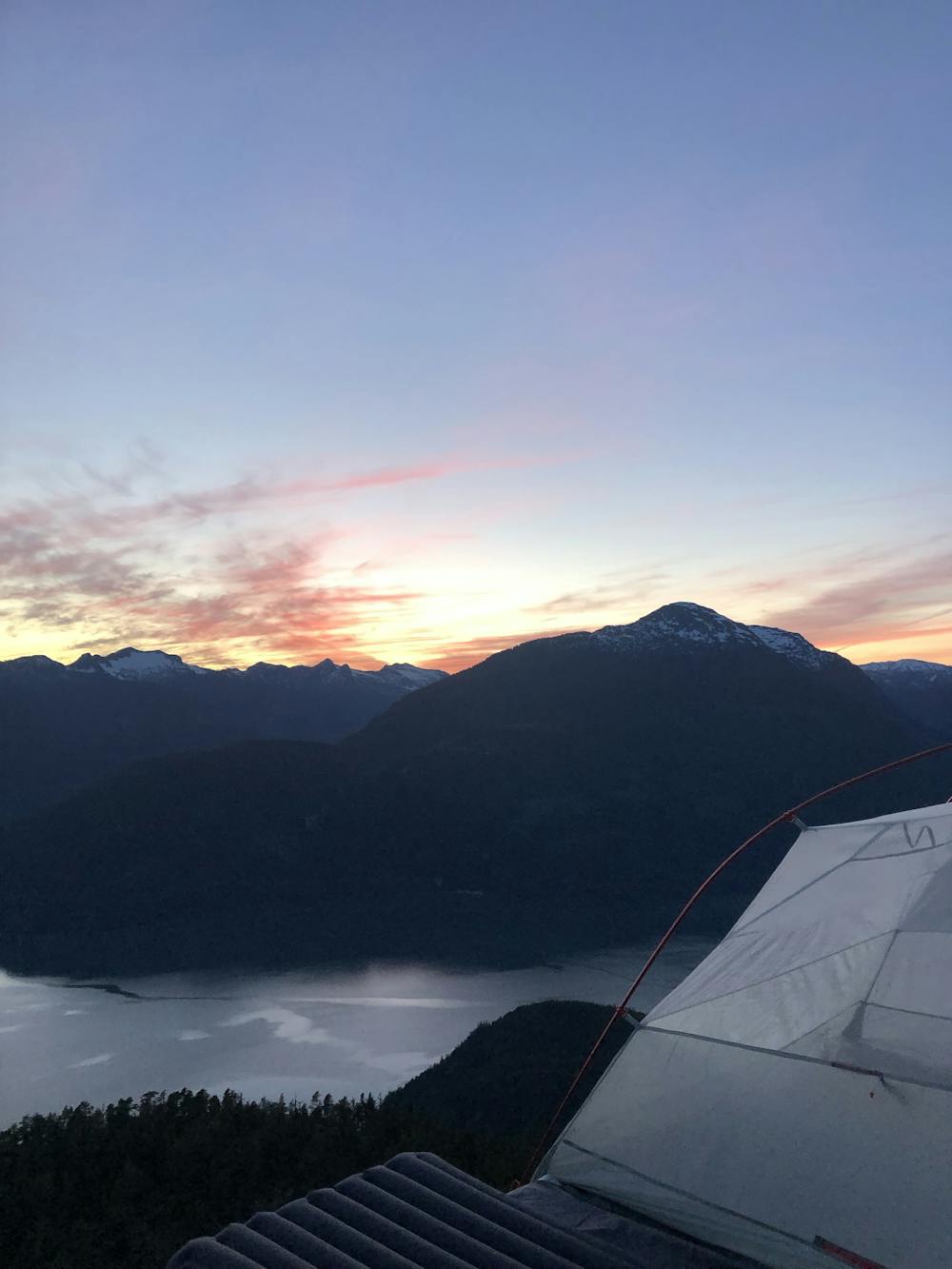
Beautiful Howe Sound sunset with a sneaky peak of Tantalus
Moderate Hiking

7 routes · Hiking · Trail Running

3 routes · Hiking