532 m away
Tuafanua Trail
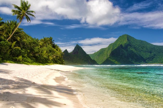
Scramble up and down through thick rainforest to find a truly isolated, cliff-lined beach.
Severe Hiking
- Distance
- 2 km
- Ascent
- 94 m
- Descent
- 94 m
Short walk to the sea cliffs at the tip of Tutuila Island and a view of Pola Island.
Hiking Easy

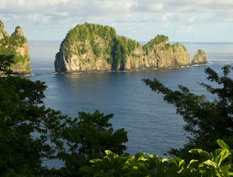
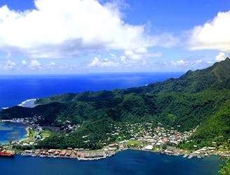
Pola Island extends from the northern peninsula of Tutuila Island as a jungle-draped rib of rock stretching into the sea. It’s divided from the main island by only a narrow strait between vertical cliffs. Pola Island, also called Cockscomb, is an iconic landmark of America Samoa and a favorite subject for photographers.
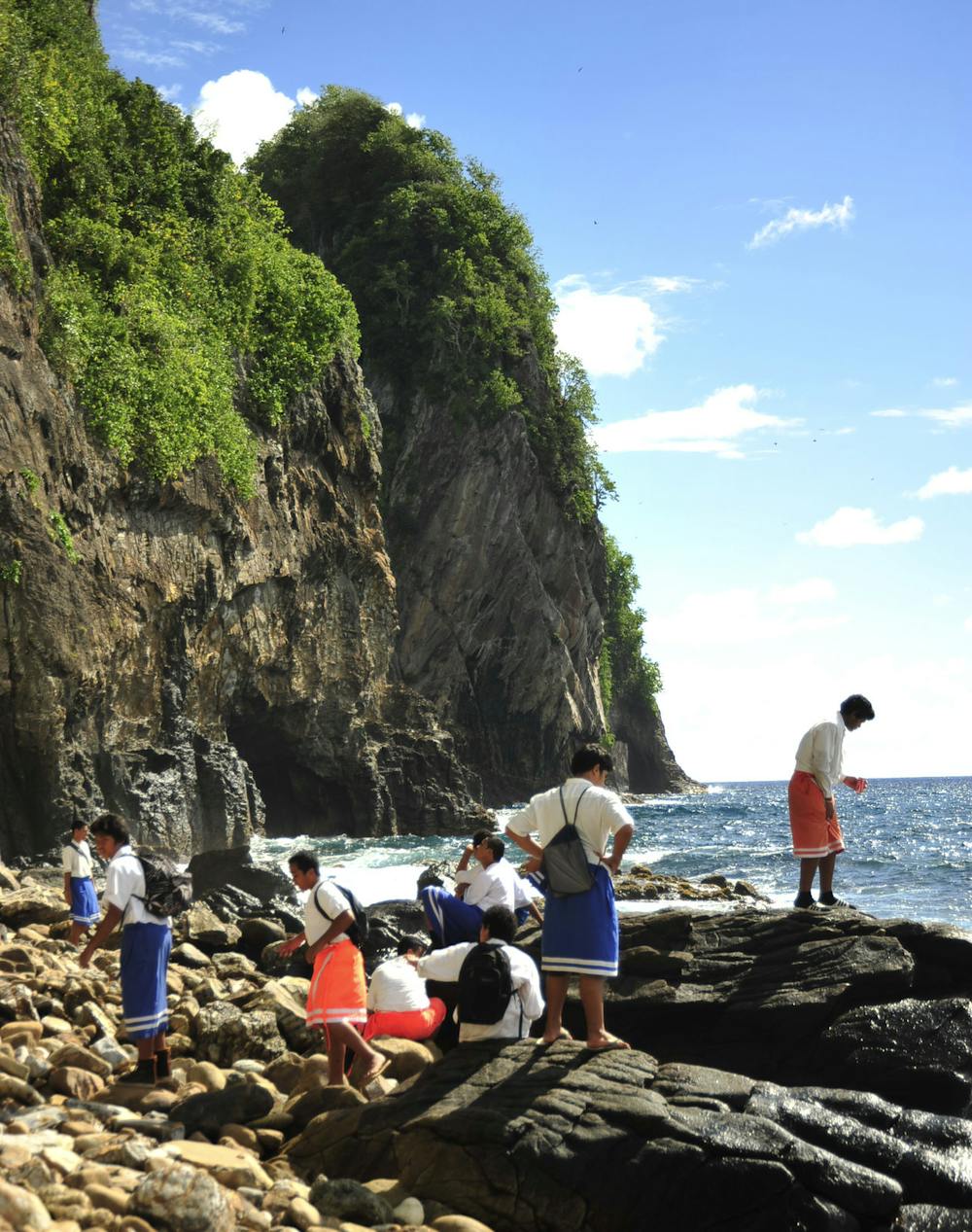
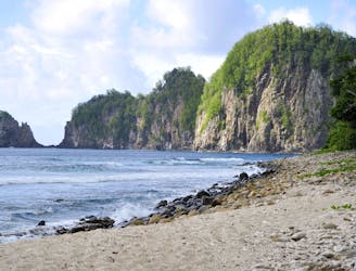
The best views of the island are from afar, either on a boat or from the Lower Sauma Ridge Trail. From the Pola Island Trail, you can’t actually see much of the island, but you can get close to the strait and see Pola’s impressive cliffs up close. It’s less of a trail and more like a short walk on a rocky beach. It’s an excellent spot for photography and nature viewing nonetheless.
The trail begins at the end of the road in Vatia. The national park’s hiking bulletin states: “Due to unfriendly dogs, please drive past the last house at the end of the paved road in Vatia Village.” When the pavement ends, the road becomes a dirt track through a tunnel of trees beside the shore. You may not want to drive the rest of this road (about half a mile) because it’s a bit rough and because it makes a nice walk anyway. Just make sure you get beyond the last house and that you can pull over without blocking the drive.
At the end, there’s a small parking area with interpretive signs. From there, it’s only a few steps through the trees to emerge on the coastline. The stony beach extends a bit farther before running into cliffs, so you can’t quite make it to the tip of the peninsula. Just enjoy the views and the breeze, search for sea life among rocks, and maybe dip your feet in the waves.
Sources: https://www.nps.gov/npsa/planyourvisit/upload/Day-Hikes-SBNPSAhigh-res.pdf https://chasingabandon.com/hiking-the-national-park-of-american-samoa/
Easy
Walking along a well-kept trail that’s mostly flat. No obstacles are present.

The path is on completely flat land and potential injury is limited to falling over.
Close to help in case of emergency.
532 m away
Scramble up and down through thick rainforest to find a truly isolated, cliff-lined beach.
Severe Hiking
1.2 km away
One-of-a-kind adventure in the national park, scaling many ropes and ladders through thick jungle to reach the top of Mount Alava.
Severe Hiking
1.3 km away
Interpretive trail through lush rainforest to a coastal panorama, with the option to scramble down the rocks and swim in deep tide pools.
Moderate Hiking
6.5 km away
One of American Samoa’s must-do hikes, this wide trail through the jungle leads to panoramic views atop the island’s central mountain.
Moderate Hiking
7 routes · Hiking

63 routes · Alpine Climbing · Hiking