3 routes · Hiking
A gorgeous walk from the western coast of Capri and finishing on the north coast
Hiking Moderate

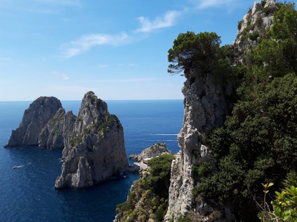
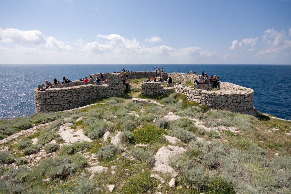
Drive over to the western side of Capri where a surprisingly attractive path, rich in history and enhanced by unique vegetation with intense fragrances and colors of Mediterranean scrubland is waiting to be hiked. The "Sentiero dei Fortini" runs the length of Capri's western coast and passes by a series of old blockhouses ("fortini"). Those were built at the time of the Saracen invasions, and they were converted into short range artillery forts by the English and French during the Napoleonic wars. The path goes through deep coves with crystal blue water and limestone rocky promontories where you pass by the "Fortini" from which the trail gets its name.
Moderate
Hiking along trails with some uneven terrain and small hills. Small rocks and roots may be present.

The trail contains some obstacles such as outcroppings and rock which could cause injury.
Away from help but easily accessed.
3 routes · Hiking