8.7 km away
Bowen Road Fitness Trail
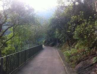
An accessible walk with incredible city views
Easy Hiking
- Distance
- 4.1 km
- Ascent
- 189 m
- Descent
- 172 m
An exciting hike with an epic stair climb through lush forest followed by arguably the best city views of Hong Kong
Also in Kowloon City, Hong Kong S.A.R. • Sham Shui Po, Hong Kong S.A.R.
Hiking Difficult

If you’re up for a hike that combines steep inclines, epic steps, covered leisurely walks through forest, macaque monkeys perched atop trees, some of the most breathtaking panoramic views of Hong Kong, and a fun rocky descent along boulders surrounded by leafy trees, then Lion Rock Hike is the one for you.


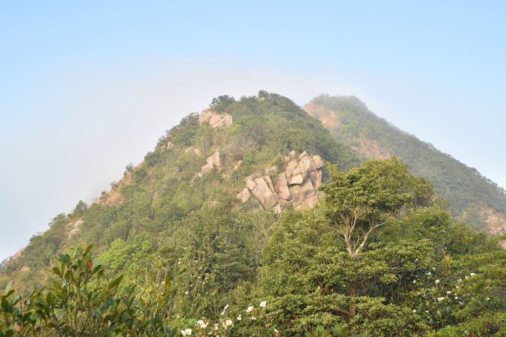
This point-to-point hike has a mixture of paved paths, dirt trails, and a fun scramble up rocks to the iconic Lion Rock lookout. You won’t be sorry you went on it — even after the initial heart-pumping uphill start. It’s very easily reached via public transportation, simply take the MTR to Wong Tai Sin (Exit E) and walk up the road or hop on a minibus (18M) to Sha Tin Pass Estate to reach the trailhead. At the end of the hike, head to Lai Chi Kok MTR station to return home.
Once at the summit, make sure to head up all three rock outcrops that make up the Lion Rock’s “body.” On a clear day, you’ll be rewarded with the most epic views of all of Hong Kong and Kowloon to the south and Sha Tin and the New Territories to the north.
The impressive sea of buildings that makes up Kowloon and Central sprawls out right in front of your eyes. This spectacular view offers a different perspective of the city you wouldn't otherwise see. Watch ferries and ships glide across Victoria Harbour’s calm waters, see the iconic Peak mountain looming high above Central, and look at the vast expanse of sea reaching out to the horizon to the west. Behind you are rolling hills covered with bursting green trees, with only a few buildings dotted here and there. It’s truly one of the most enthralling views of the whole Territory.
Your return journey takes you down a fun rocky path, where you go from boulder to boulder, hanging on to tree branches to not slip. Then it’s all downhill from there, along gentle forest-covered trails, with a short stop at Beacon Hill's summit for another lookout point. Make sure to take a sharp left turn onto Tai Po Road to make it to the end of the hike. Even if the path doesn’t look well-maintained, you’re on the right track.
This all-encompassing hike will leave your body fit and your mind enraptured by the scenic views you just experienced.
Difficult
Hiking trails where obstacles such as rocks or roots are prevalent. Some obstacles can require care to step over or around. At times, the trail can be worn and eroded. The grade of the trail is generally quite steep, and can often lead to strenuous hiking.

Some trail sections have exposed ledges or steep ascents/descents where falling could cause serious injury.
Little chance of being seen or helped in case of an accident.
8.7 km away
An accessible walk with incredible city views
Easy Hiking
9.1 km away

A gentle walk with world-famous views of Hong Kong
Easy Hiking
9.2 km away
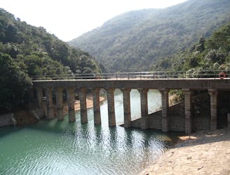
A beautiful downhill walk past historic reservoirs.
Easy Hiking
9.3 km away

A perfect hike filled with history, amazing stair climbs, and diverse views
Difficult Hiking
9.3 km away
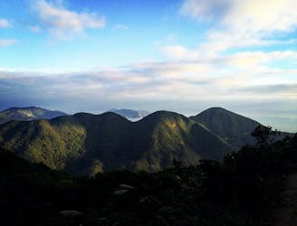
Often referred to as The Twins, this short and sharp hike takes you over three hills and up more than 1,200 steps for breathtaking views of the island’s south side.
Difficult Hiking

6 routes · Hiking

8 routes · Hiking