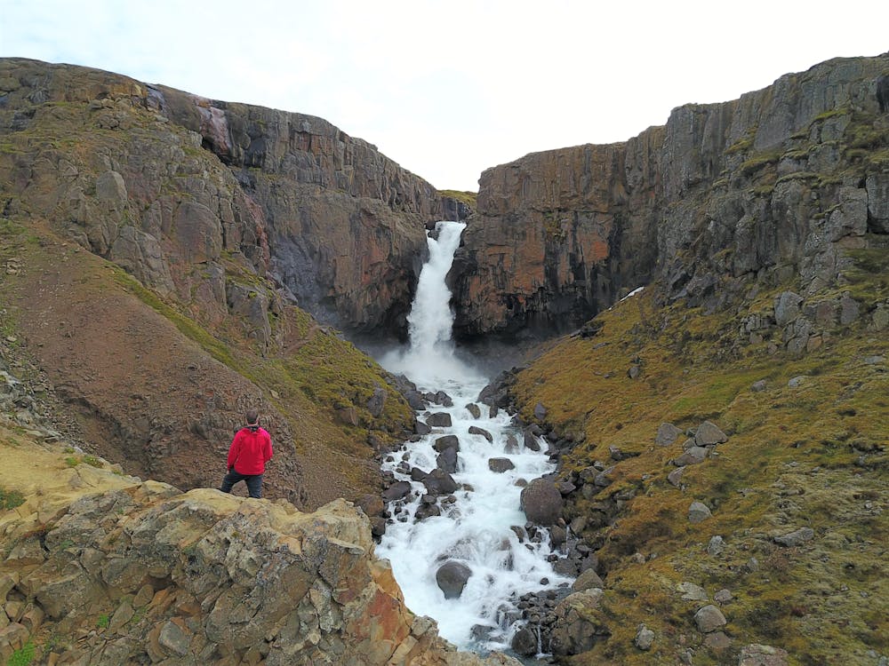
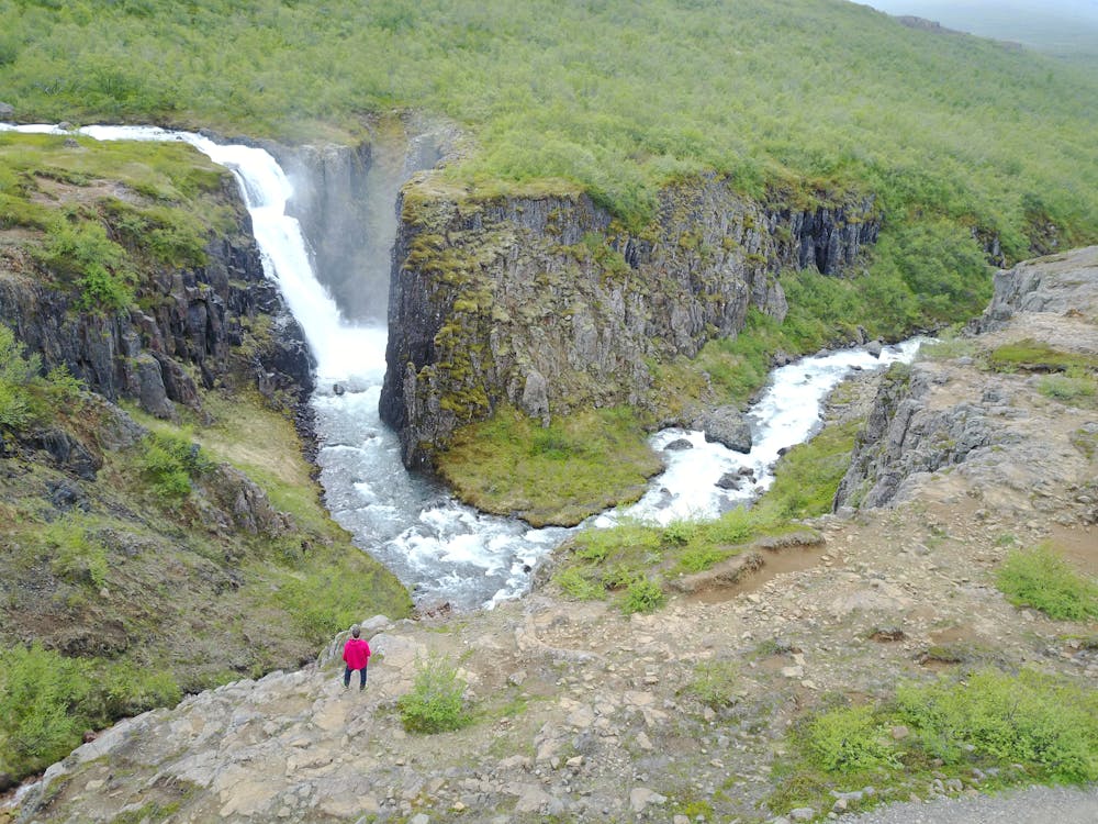
Fardagafoss Waterfall
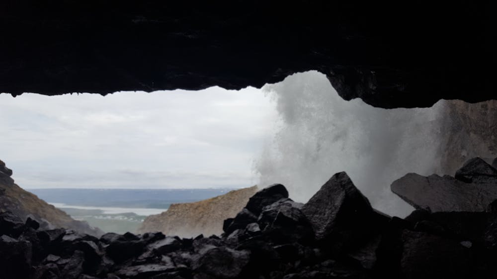
Behind the waterfall
Hiking Easy
- Distance
- 2.2 km
- Ascent
- 166 m
- Descent
- 166 m
- Duration
- 0-1 hrs
- Low Point
- 130 m
- High Point
- 297 m
- Gradient
- 11˚

Walk from the parking area up along the river on the north bank until you get to the Gufufoss-waterfall. When you get to the ravine you will find a chain linked to the cliffs for support. One can get behind the waterfall. A cylinder with visitors’ log book and stamp can easily be found up there. You can start this hike in Egilsstaðir town. Walk across the old bridge crossing Eyvindará-river and then turn on to the old gravel road, cross the driveway to Miðhús-farm up towards the parking area.
- •
- •
- •
Difficulty
Easy
Walking along a well-kept trail that’s mostly flat. No obstacles are present.
Medium Exposure

The trail contains some obstacles such as outcroppings and rock which could cause injury.
Remoteness
Away from help but easily accessed.
Best time to visit
Features
- Picturesque
- Dog friendly
- Water features
- Family friendly