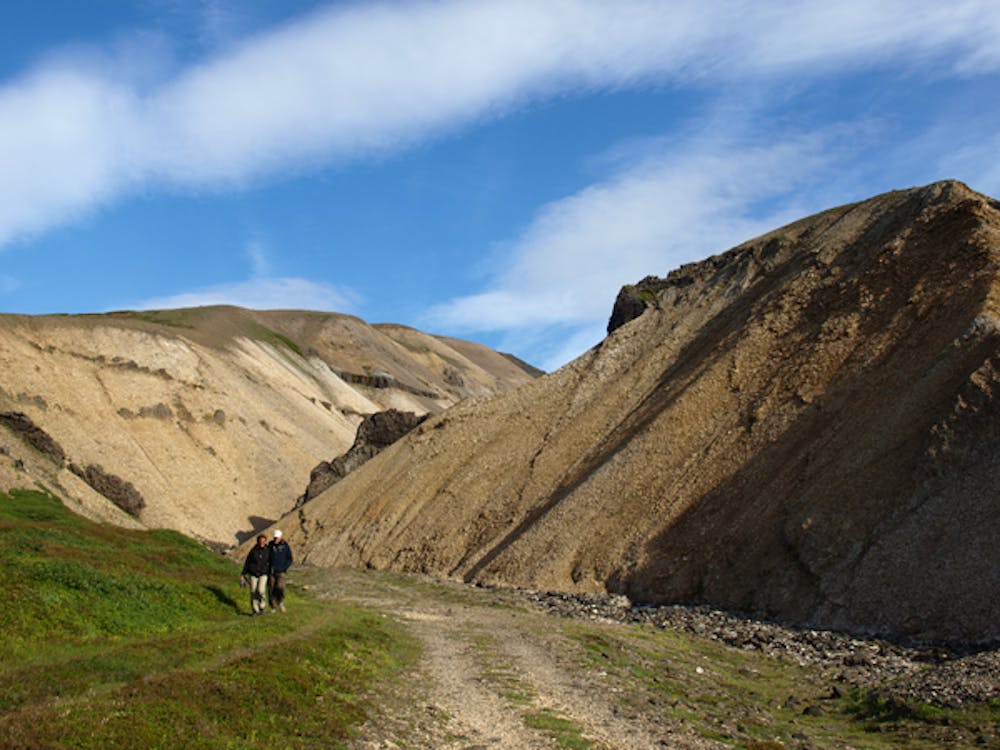
Innra-Hvannagil - Víknaslóðir
Beautiful and colourful canyon
Hiking Easy
- Distance
- 755 m
- Ascent
- 89 m
- Descent
- 0 m
- Duration
- 0-1 hrs
- Low Point
- 33 m
- High Point
- 123 m
- Gradient
- 8˚

This is a popular hiking route which is generally considered to be easy. It's remote, it features low exposure and is typically done all year round. From a low point of 33 m to the maximum altitude of 123 m, the route covers 755 m, 89 vertical metres of ascent and 0 vertical metres of descent.
Description
Short and easy family hike to Innra- Hvannagil. Beautiful colours and waterfalls for you to enjoy. Wonderful place for a family picnic. For more info visit www.borgarfjordureystri.is/en
Difficulty
Easy
Walking along a well-kept trail that’s mostly flat. No obstacles are present.
Low Exposure

The path is on completely flat land and potential injury is limited to falling over.
Remoteness

Away from help but easily accessed.
Best time to visit
Features
- Picturesque
- Wild flowers
- Water features
- Family friendly