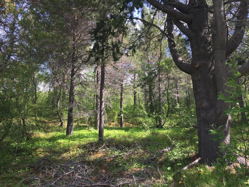
Undir trjánum
Fjölskylduganga í skóginum
Hiking Easy
- Distance
- 2.8 km
- Ascent
- 131 m
- Descent
- 131 m
- Duration
- 0-1 hrs
- Low Point
- 23 m
- High Point
- 94 m
- Gradient
- 7˚

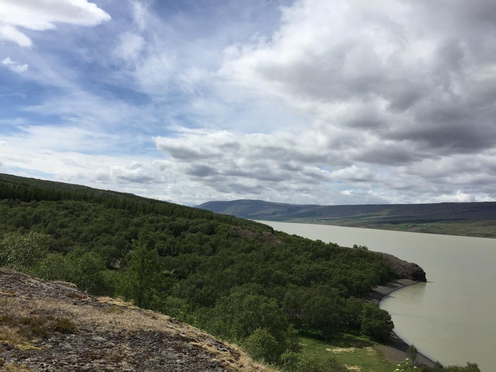
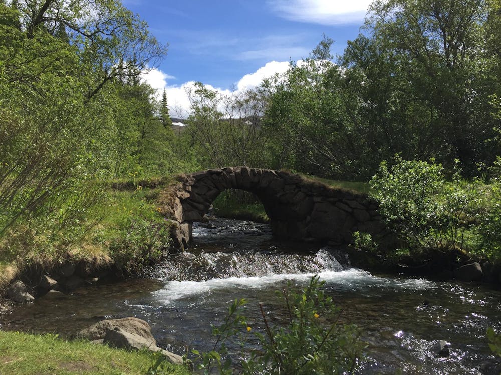
This is a popular hiking route which is generally considered to be easy. It's remote, it features medium exposure and is typically done all year round. From a low point of 23 m to the maximum altitude of 94 m, the route covers 2.8 km, 131 vertical metres of ascent and 131 vertical metres of descent.
- •
- •
- •
- •
- •
- •
Description
Skemmtileg ganga um Hallormsstaðaskóg fyrir alla fjölskylduna. Hún hefst við þjóðveginn á rauð stikaðri leið en svo er haldið áfram eftir óstikaðri leið. Vegalengd 2,6 km Fjölskylduvæn
Difficulty
Easy
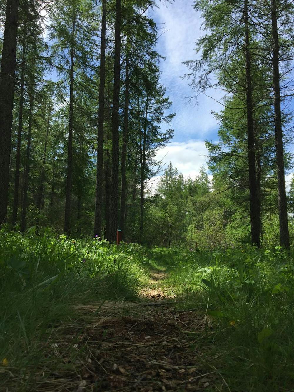
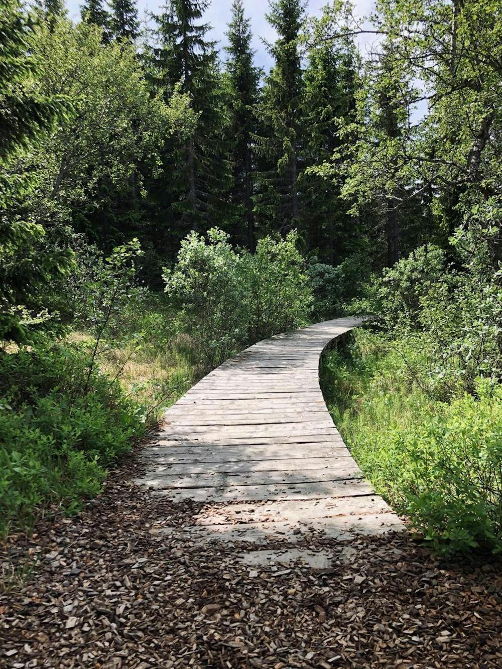
Walking along a well-kept trail that’s mostly flat. No obstacles are present.
Medium Exposure

The trail contains some obstacles such as outcroppings and rock which could cause injury.
Remoteness
Away from help but easily accessed.
Best time to visit
Features
- Wildlife
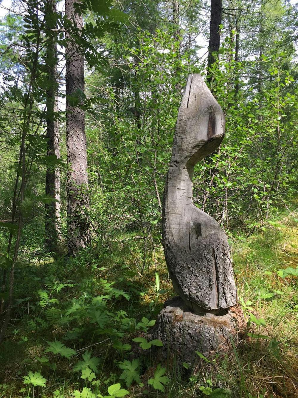
- Historical
- Picturesque
- Wild flowers
- Water features
- Family friendly
- Forestry or heavy vegetation