Iceland Trail - Hvannadalshnjúkur
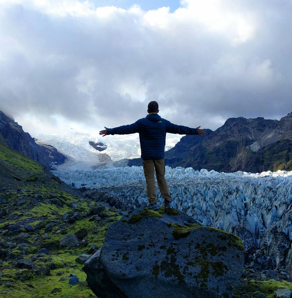
Trail near the Hvannadalshnjúkur Glacier.
Trail Running Moderate
- Distance
- 8.7 km
- Ascent
- 464 m
- Descent
- 464 m
- Duration
- 1-2 hrs
- Low Point
- 31 m
- High Point
- 278 m
- Gradient
- 22˚

This is a popular trail running route which is generally considered to be moderate. It's extremely remote, it features extreme exposure and is typically done between July and September. From a low point of 31 m to the maximum altitude of 278 m, the route covers 8.7 km, 464 vertical metres of ascent and 464 vertical metres of descent.
Description
Icelandic Glacier
Difficulty
Moderate
Extreme Exposure

Some trail sections are extremely exposed where falling will almost certainly result in serious injury or death.
Remoteness
In the high mountains or remote conditions, all individuals must be completely autonomous in every situation.