Hagshu La
Traverse from Zanskar to Kishtwar
Also in Jammu and Kashmir, India
Hiking Severe
- Distance
- 42 km
- Ascent
- 2.3 km
- Descent
- 2.7 km
- Duration
- 1 day +
- Low Point
- 3.4 km
- High Point
- 5.1 km
- Gradient
- 34˚

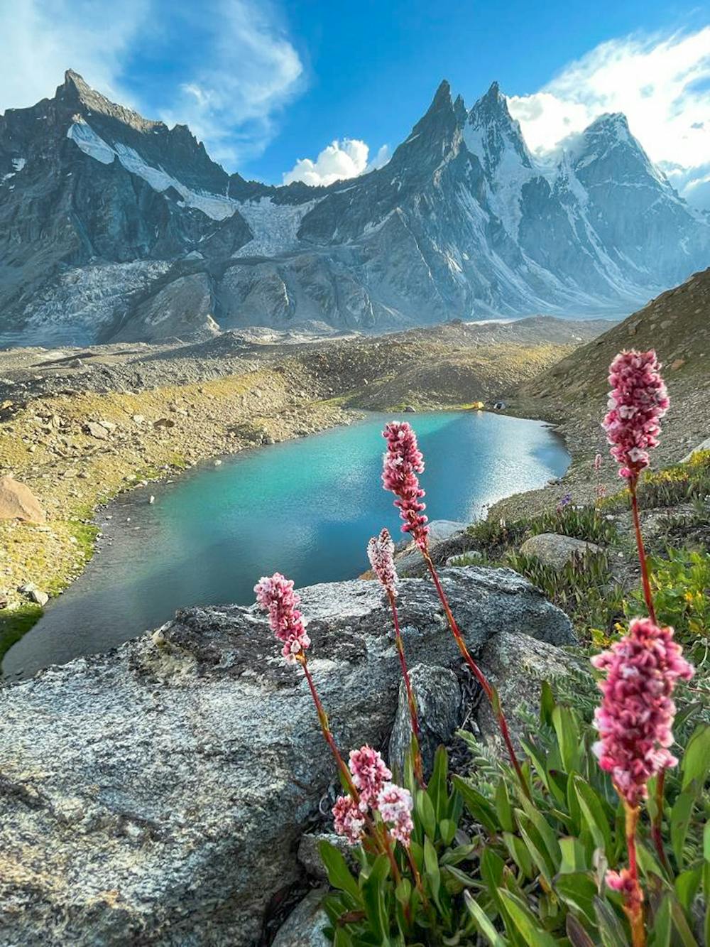
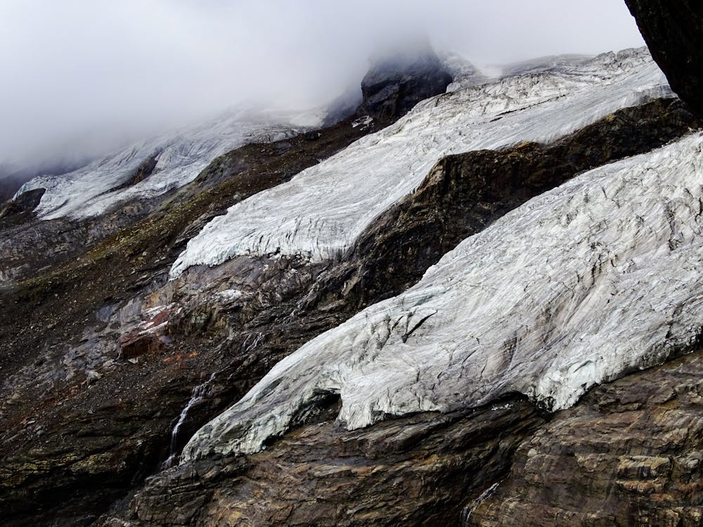
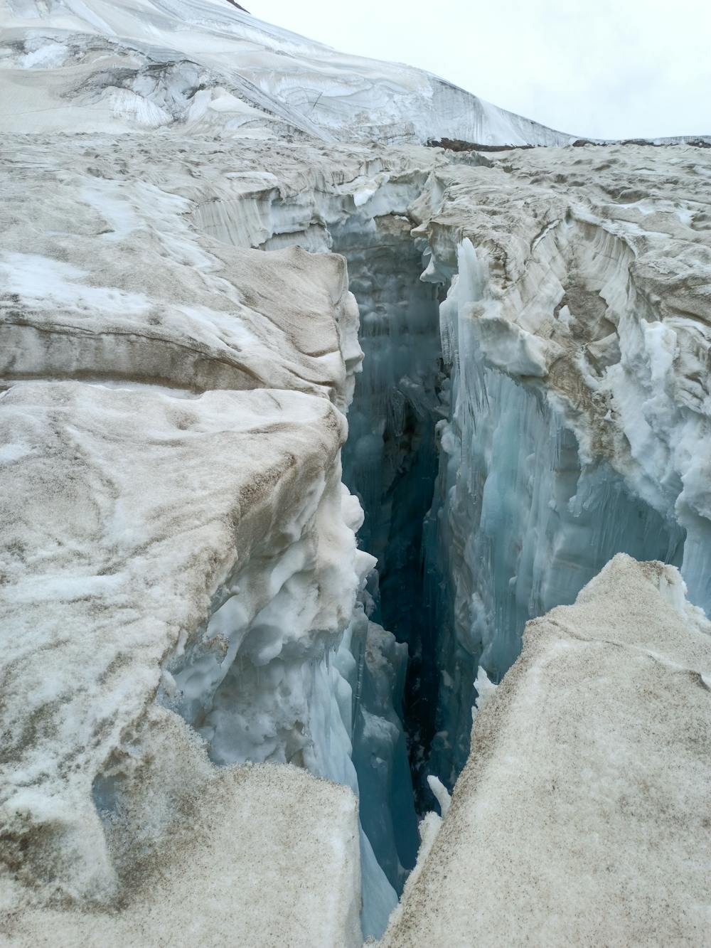
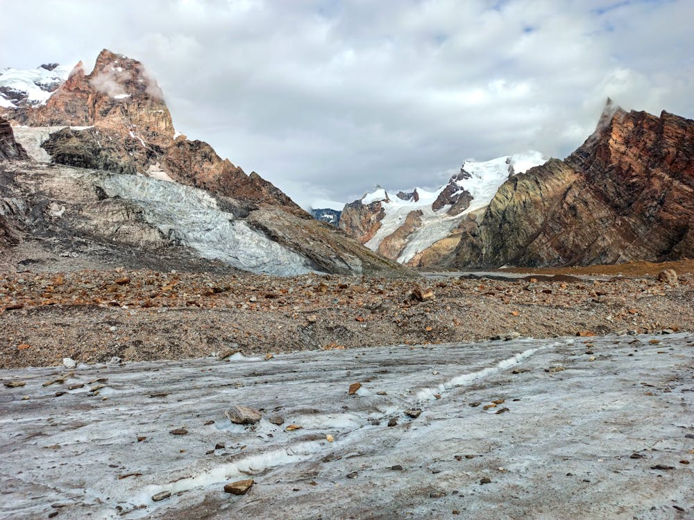
This is a popular hiking route which is generally considered to be severe. It's extremely remote, it features high exposure and is typically done between July and September. From a low point of 3.4 km to the maximum altitude of 5.1 km, the route covers 42 km, 2284 vertical metres of ascent and 2738 vertical metres of descent.
- •
- •
- •
- •
- •
Description
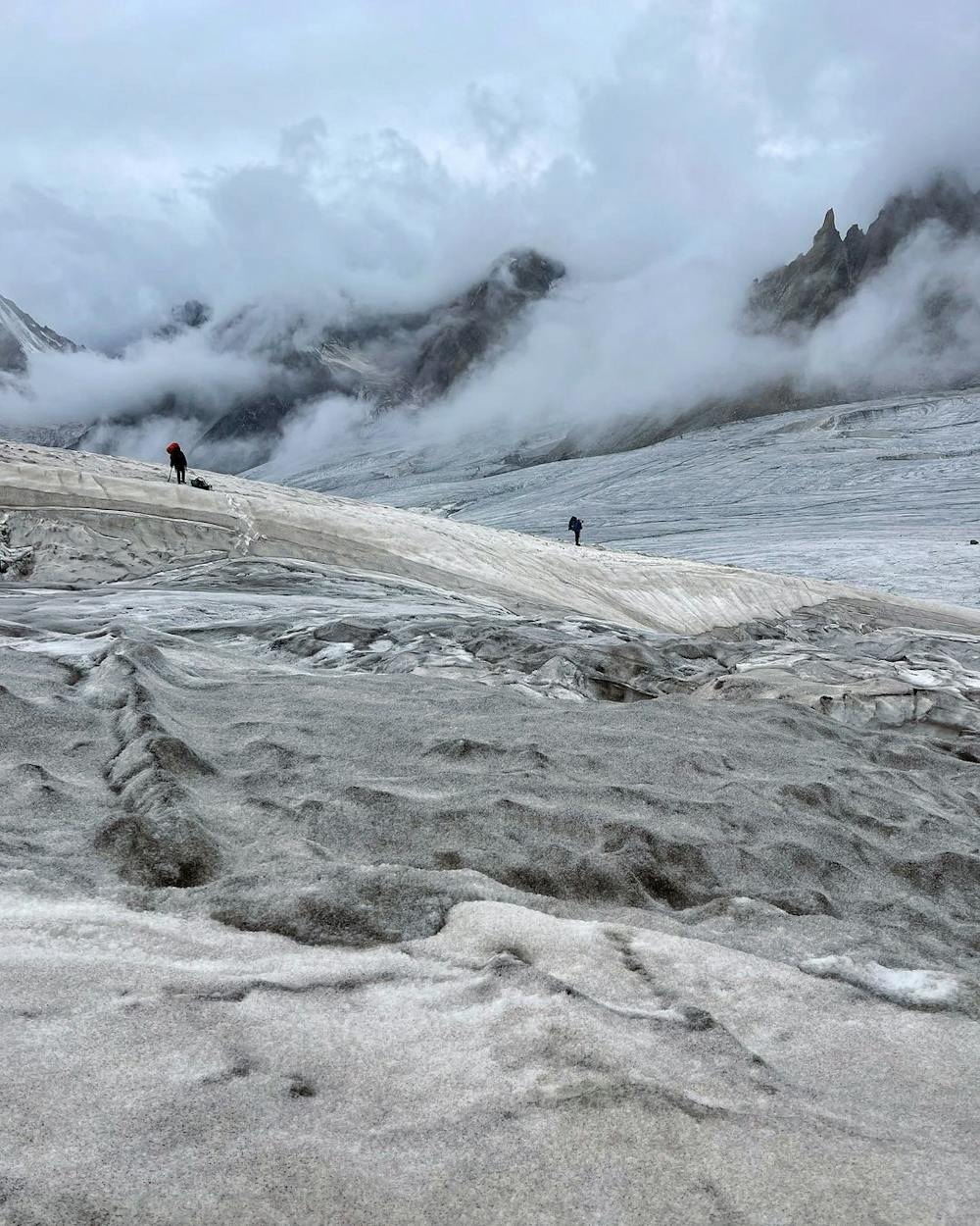
A forgotten route from Akshu village to Hamlets deep in Kashmir, the heavily glaciated path is a one rife with Crevasses and dangers. Extremely steep descent towards Kishtwar after crossing pass.
Difficulty
Severe
Hiking challenging trails where simple scrambling, with the occasional use of the hands, is a distinct possibility. The trails are often filled with all manner of obstacles both small and large, and the hills are very steep. Obstacles and challenges are often unexpected and can be unpredictable.
High Exposure

Some trail sections have exposed ledges or steep ascents/descents where falling could cause serious injury.
Remoteness

In the high mountains or remote conditions, all individuals must be completely autonomous in every situation.
Best time to visit
Features
- Picturesque
- Dog friendly