Sinhagad to Rajgad
One of the famous treks along with Sinhagad
Hiking Difficult
- Distance
- 22 km
- Ascent
- 1.5 km
- Descent
- 1 km
- Duration
- 6-7 hrs
- Low Point
- 650 m
- High Point
- 1.3 km
- Gradient
- 17˚

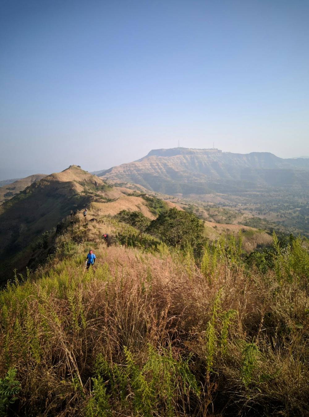
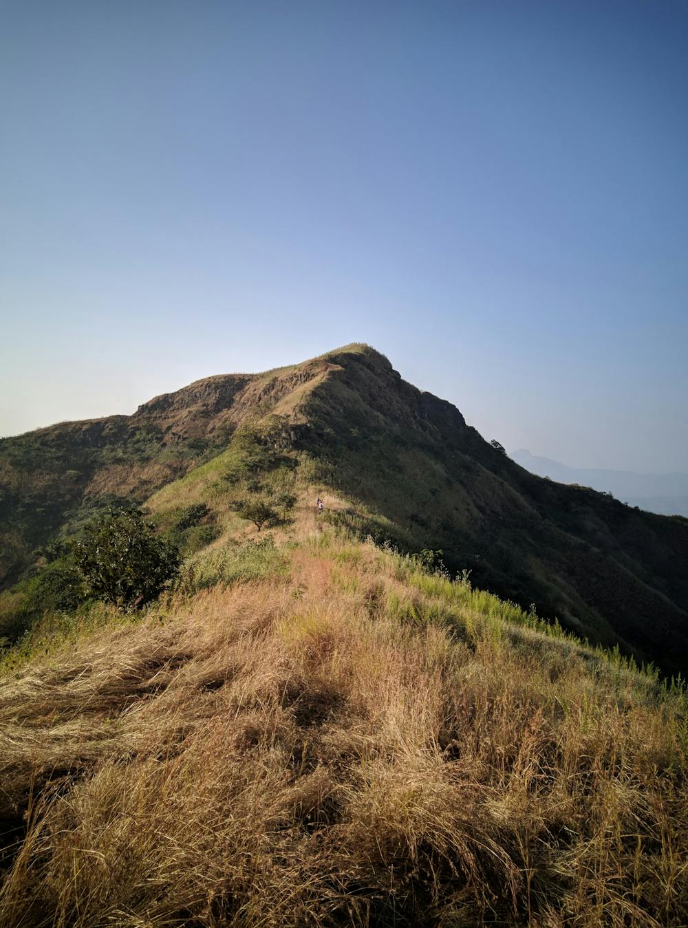
The first 9km of the route till the famous Nagfani traverse is a dreamy hike with little much of the bumps not too steep.All the drama starts with the traverse continuing all the way down to the foot of the hill near the roadhead village Vinzar.A short bridge crossing to peep into the Gunjawane village before it heads up to toss a view of the long distance covered from the Sinhagad fort coming up to Rajgad Fort. Typically for beginners a whole day extravaganza while for the trail machos a 5-6hours ordeal. The base villages present good refreshments, water availability and also accommodation only if you were not carrying your own stuff. Don't miss those selfie on all the historic points on the Forts which have been marked by the archaeological establishments. Summer season is dehydrating and heavy rainfall months carpet those slippery algaes and poor visibility.
- •
- •
Difficulty
Difficult
Hiking trails where obstacles such as rocks or roots are prevalent. Some obstacles can require care to step over or around. At times, the trail can be worn and eroded. The grade of the trail is generally quite steep, and can often lead to strenuous hiking.
High Exposure

Some trail sections have exposed ledges or steep ascents/descents where falling could cause serious injury.
Remoteness

Away from help but easily accessed.
Best time to visit
Features
- Wildlife
- Historical
- Picturesque
- Summit Hike
- Dog friendly
- Wild flowers
- Water features
- Forestry or heavy vegetation