47 m away
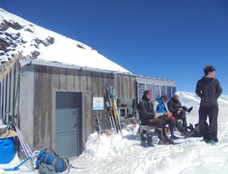
Conscrits Hut to the Durier Hut via the Dômes de Miage
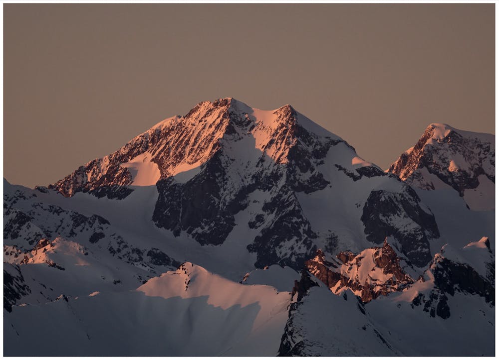
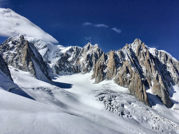
A staggeringly beautiful day of mountaineering through Himalayan-esque scenery
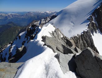
Difficult Alpine Climbing
- Distance
- 6.1 km
- Ascent
- 1.3 km
- Descent
- 580 m
A long high mountain traverse over the highest point of the Tre La Tete peaks.
Also in Haute-Savoie, France
Alpine Climbing Difficult

This is a popular alpine climbing route which is generally considered to be difficult. It's remote, it features extreme exposure and is typically done between April and July. From a low point of 2.2 km to the maximum altitude of 3.9 km, the route covers 12 km, 1843 vertical metres of ascent and 2263 vertical metres of descent. You'll need crampons, quickdraws, glacier kit, 2 ice axes and wires and friends to complete it safely.
From Conscrits climb up to Col des Glaciers, follow the ridge to Central NW summit of Tre La Tete, to SE Central, then east summit before descending to the Valley in Italy.
Difficult
The beginning of truly technical terrain which might involve pitched climbing on rock and/or ice, exposed terrain and complex route finding in ascent and descent. Equivalent to AD, AD+

The majority of the route is "no fall" terrain.

Away from help but easily accessed.
47 m away
A staggeringly beautiful day of mountaineering through Himalayan-esque scenery
Difficult Alpine Climbing
55 m away
An über classic low grade route which is a perfect introduction to longer alpine climbs.
Moderate Alpine Climbing
5.5 km away
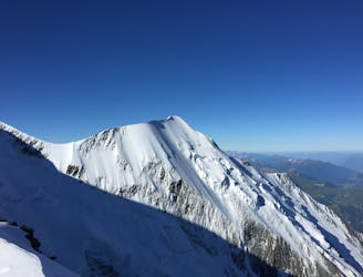
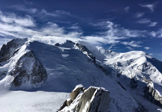
The most amazing traverse of several 4000m peaks including the iconic Aiguille du Bionnassay and Mont Blanc
Difficult Alpine Climbing
6.3 km away
A fantastic route from the wild Italian side of the mountain traversing to descend into France
Moderate Alpine Climbing
6.9 km away
A very long and remote day that can be halved by staying in the Plan Glacier Hut
Moderate Alpine Climbing
8.3 km away
A significant day itself accessing the highest guardian-ed hut in France.
Moderate Alpine Climbing
8.7 km away
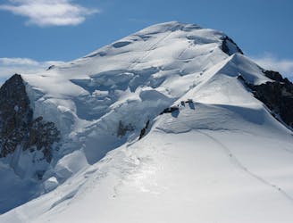
The most popular route up the highest peak in Western Europe.
Moderate Alpine Climbing
3 routes · Alpine Climbing · Hiking
5 routes · Alpine Climbing

15 routes · Alpine Climbing · Hiking

9 routes · Alpine Climbing · Hiking

6 routes · Alpine Climbing

10 routes · Alpine Climbing