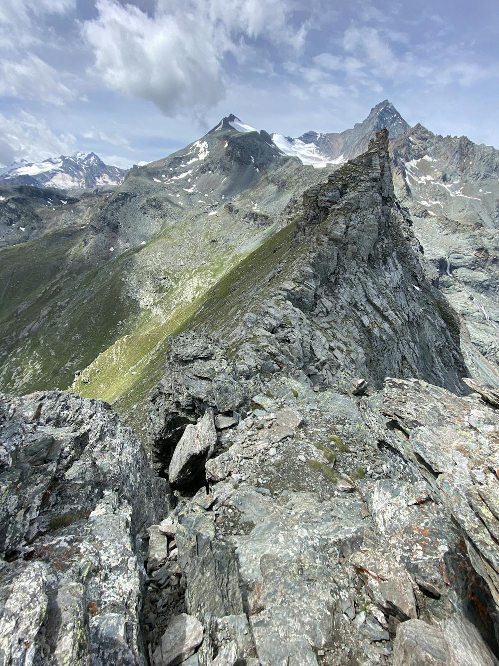
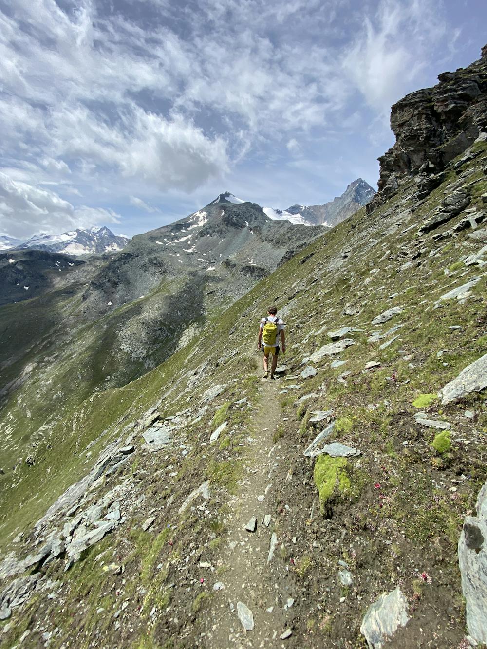
Cretaz - Punta Pousset hike
Cogne
easy route to Pousset peak, summer edition.
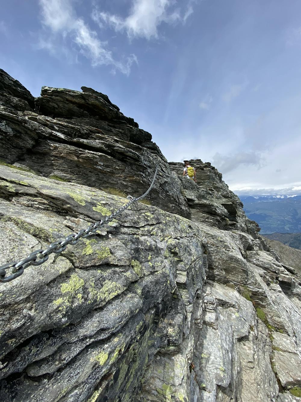
Hiking Moderate
- Distance
- 17 km
- Ascent
- 1.6 km
- Descent
- 1.6 km
- Duration
- 6-7 hrs
- Low Point
- 1.5 km
- High Point
- 3 km
- Gradient
- 16˚

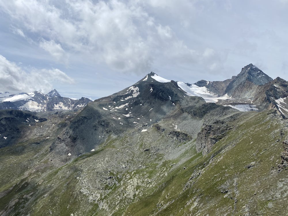
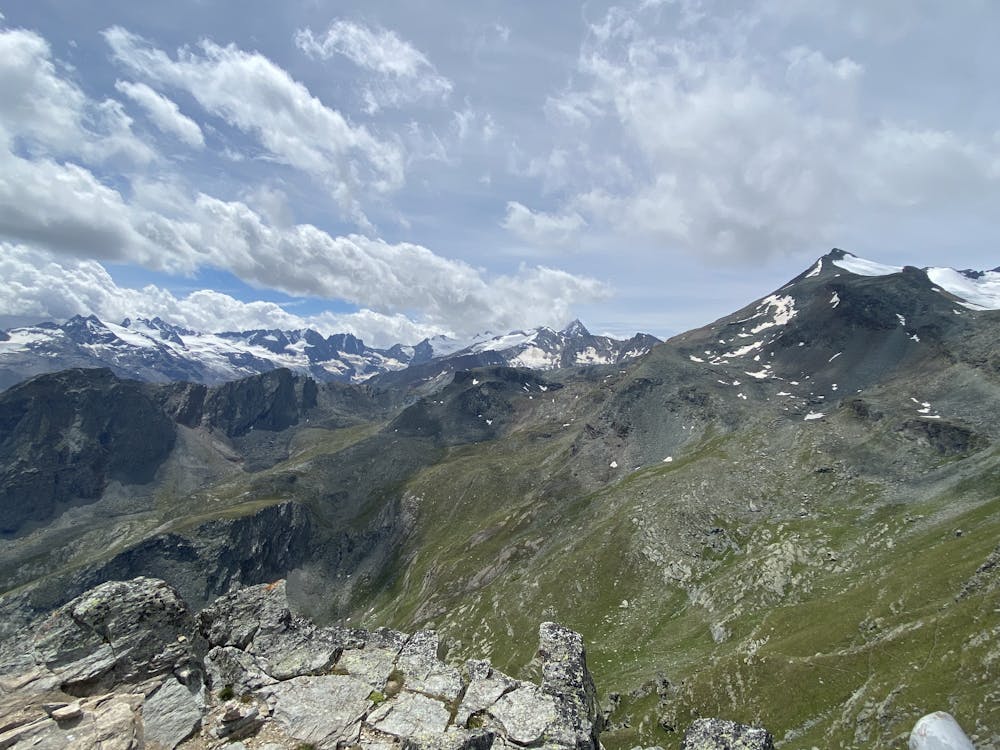
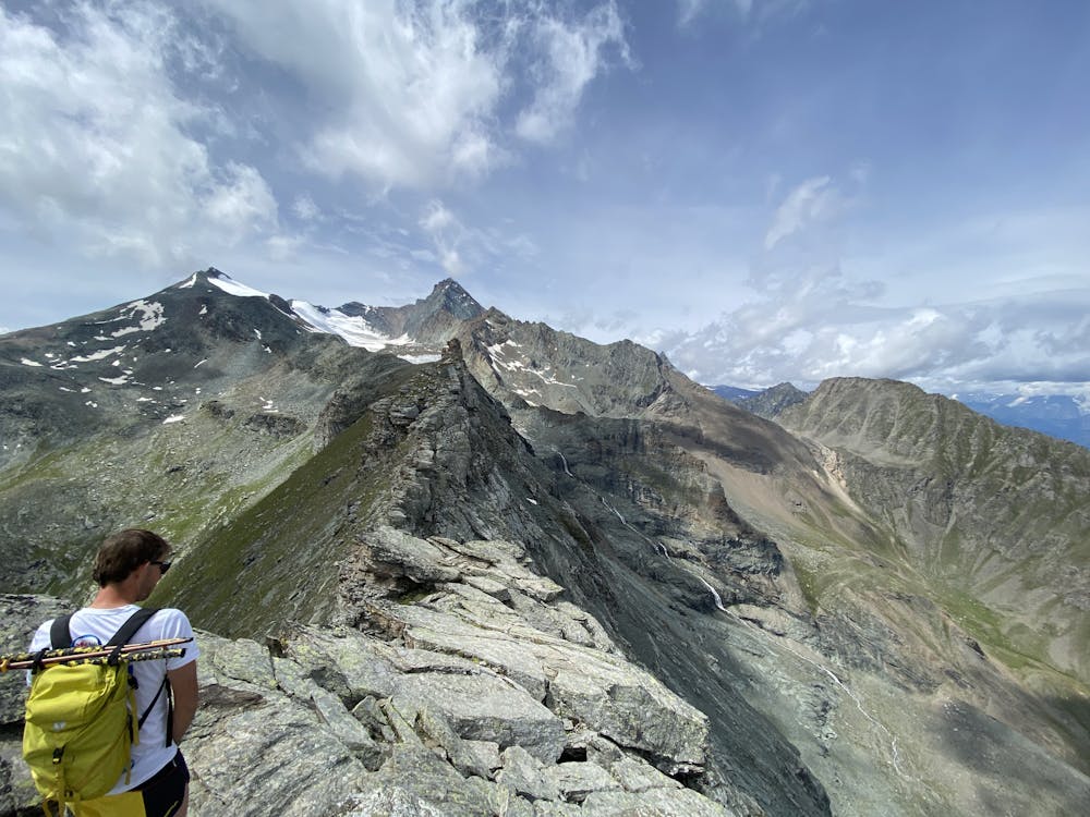
This is a popular hiking route which is generally considered to be moderate. It's remote, it features low exposure and is typically done between June and September. From a low point of 1.5 km to the maximum altitude of 3 km, the route covers 17 km, 1634 vertical metres of ascent and 1649 vertical metres of descent.
- •
- •
- •
- •
- •
- •
- •
Description
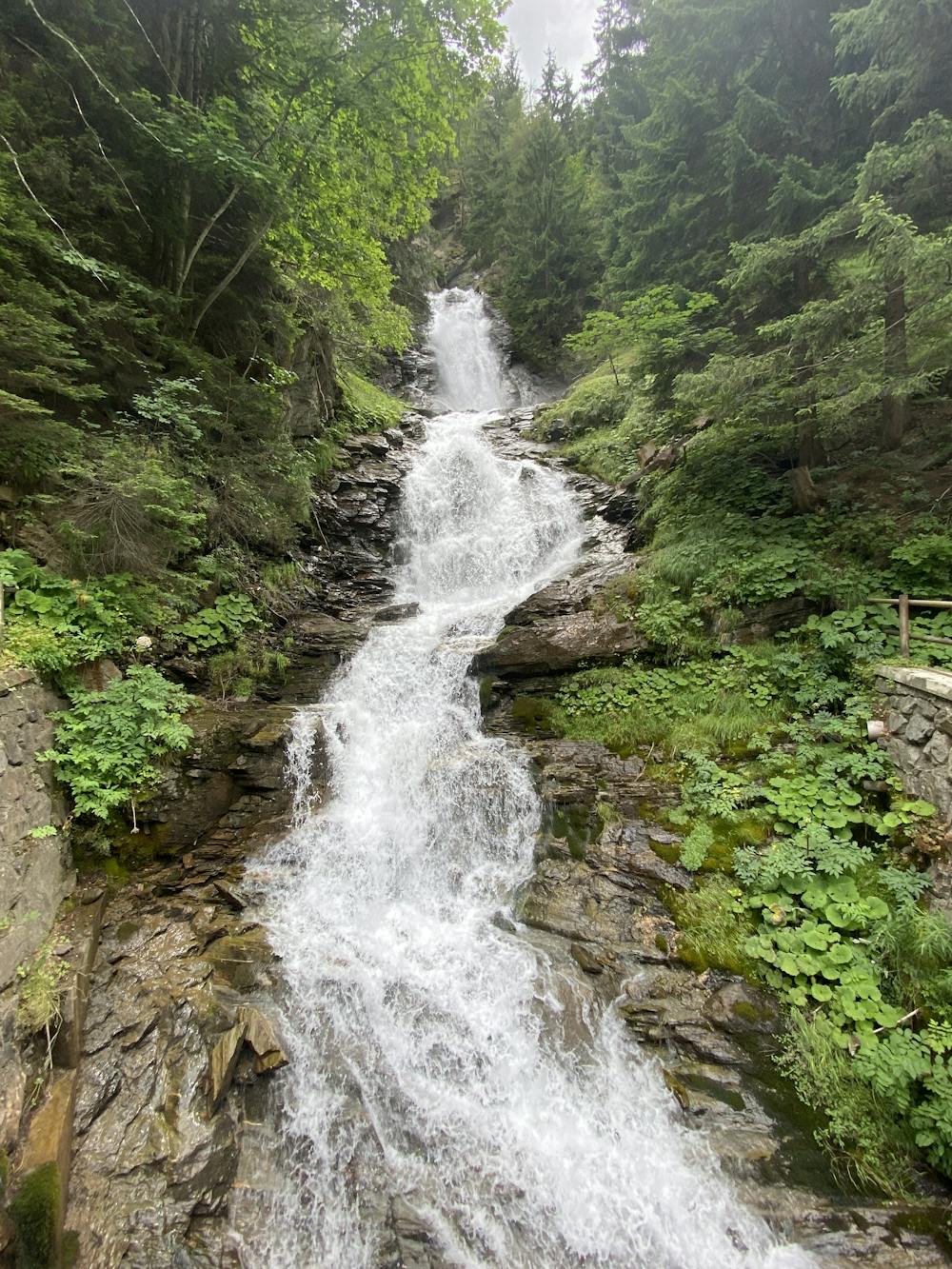
Nice hike from Cretaz village, on the route to Cogne. first tract is in a wood forest with a steep track.
Difficulty
Moderate
Hiking along trails with some uneven terrain and small hills. Small rocks and roots may be present.
Low Exposure

The path is on completely flat land and potential injury is limited to falling over.
Remoteness

Away from help but easily accessed.
Best time to visit
Features
- Alpine
- Picturesque
- Summit Hike
- Dog friendly
- Water features