1 m away
Trail 10 -> Sousson Loop
This hike may be short, but the uphill grind is steep!
Difficult Hiking
- Distance
- 5.3 km
- Ascent
- 420 m
- Descent
- 420 m
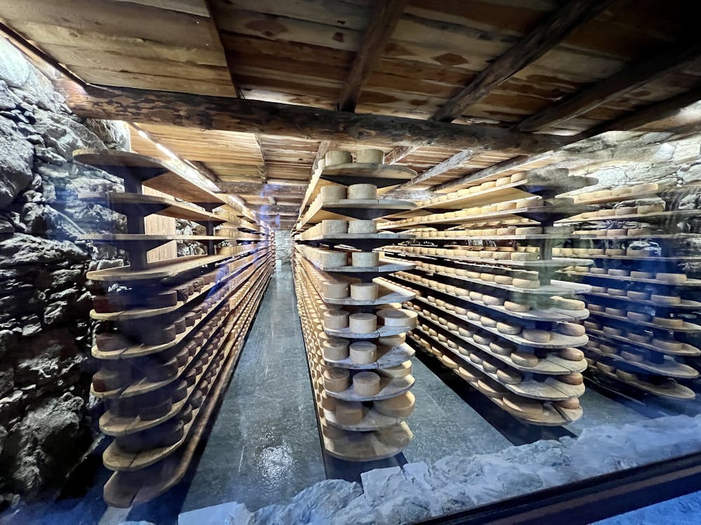
Hike to an incredible alpine hut that's home to the highest elevation cheese cellar in Europe!
Hiking Difficult

This attractive hike leads to a gorgeous alpine hut and farm, home to the highest elevation cheese cellar in Europe! For more on how to reach this incredible destination, read on.
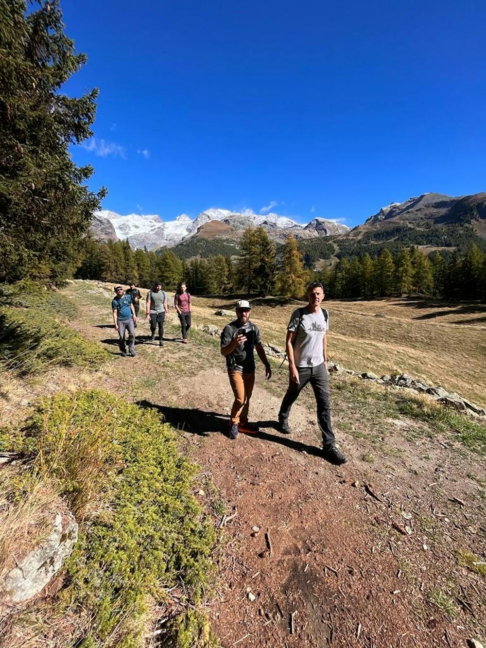
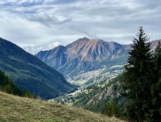
The hike to La Tchavana begins from the valley floor near Champoluc. While there are a few possible routes for that will take you to the hut, the route shown here is one of the best hiking options on the most natural trails. The ascent begins immediately, grinding straight up the mountainside on a steep singletrack trail.
The trail tread consists of dark black dirt with some short rocky sections. Overall the hiking is non-technical, but the grade is very steep! While you won't face technical climbing, you must be prepared for a true aerobic challenge to make progress up the mountainside.
When the trail hits the dirt road, you have two possible options. You can either follow the dirt road to the hut, or you can take a narrow singletrack trail called Ru Courtod. Ru Courtod follows an old canal (what would be called a "bisse" in Switzerland) and provides a more natural route to access the hut. The route shown here follows the more adventurous singletrack route to the hut first and then returns via the dirt road, but both directions use the same stretch of singletrack for the climb and descent.
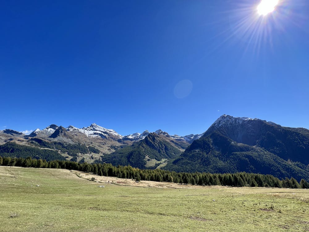
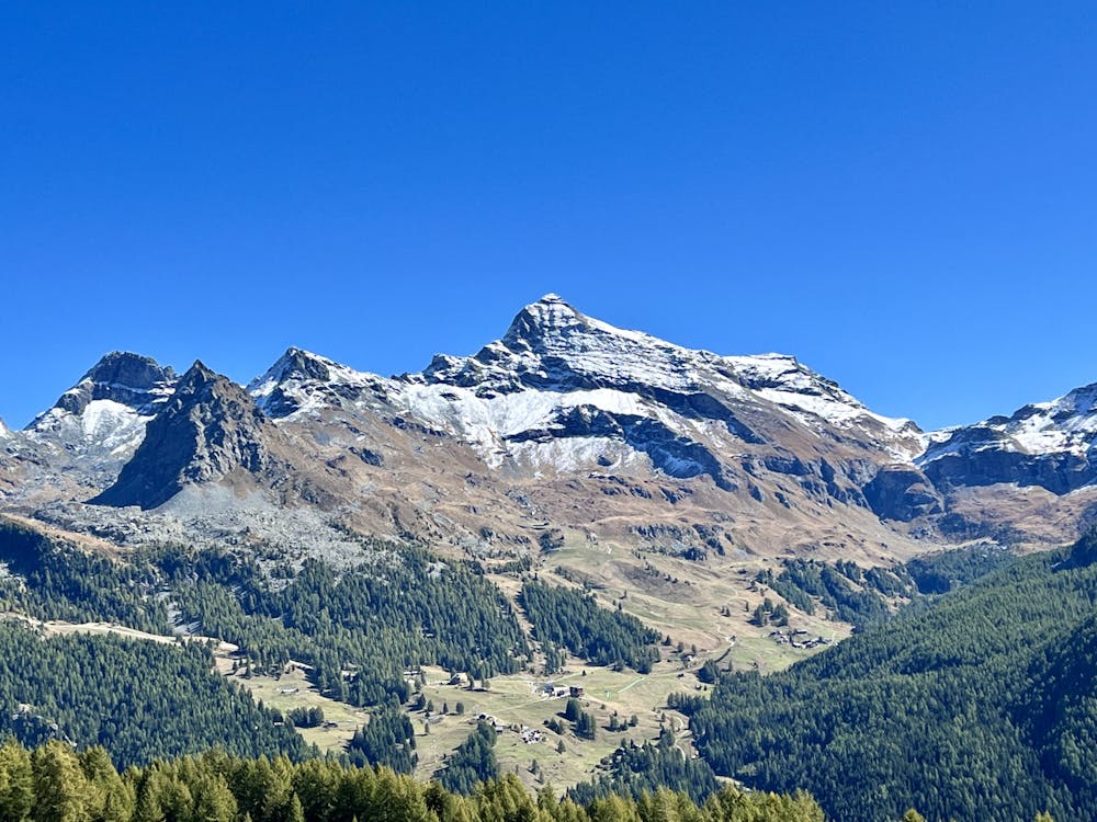
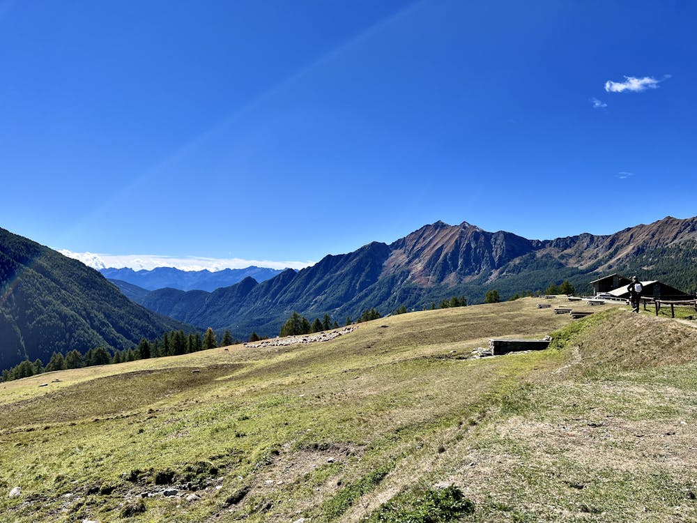
Whichever route you choose to reach the hut, most of the hard work is over by now. Whether you wind your way through the woods or take a higher road walking route (which offers a few more viewpoints), you'll soon reach this incredible agritourism destination! Be sure to enjoy a delicious lunch at the hut and soak in the incredible views of the surrounding mountains and the glaciers in the distance—you've earned it.
Haven't had enough yet? For some bonus miles, keep climbing up the mountainside to reach a cross and an even smaller hut, and continue beyond that to reach a col with incredible views of the Alps to the north.
Difficult
Hiking trails where obstacles such as rocks or roots are prevalent. Some obstacles can require care to step over or around. At times, the trail can be worn and eroded. The grade of the trail is generally quite steep, and can often lead to strenuous hiking.

The trail contains some obstacles such as outcroppings and rock which could cause injury.
Away from help but easily accessed.
1 m away
This hike may be short, but the uphill grind is steep!
Difficult Hiking
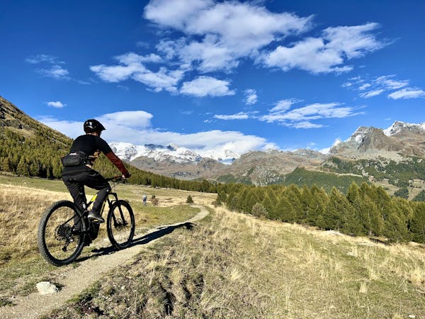
3 routes · Mountain Biking · Hiking