1 m away
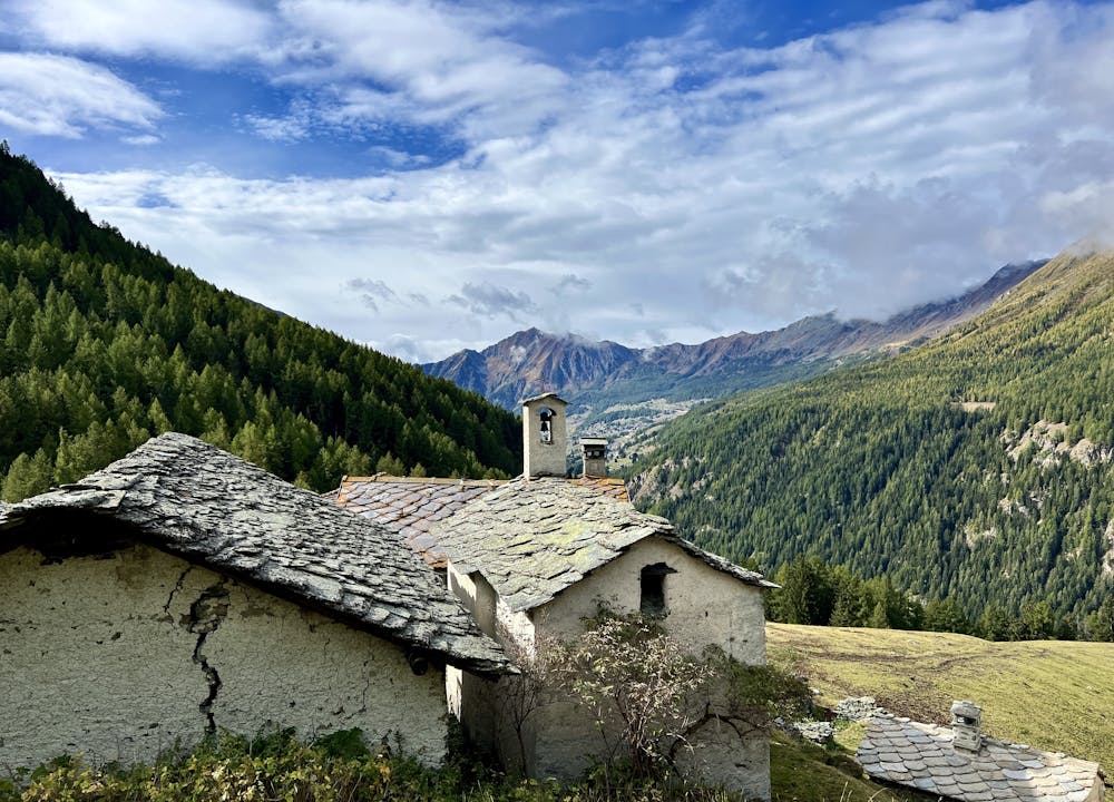
La Tchavana Hut
Hike to an incredible alpine hut that's home to the highest elevation cheese cellar in Europe!
Difficult Hiking
- Distance
- 9.4 km
- Ascent
- 483 m
- Descent
- 483 m
This hike may be short, but the uphill grind is steep!
Hiking Difficult

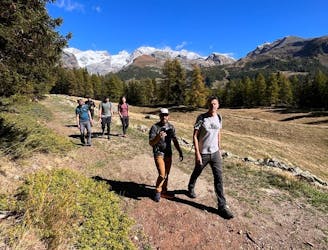
This loop anchored by Trail 10 is an easily-accessible hike option from Champoluc. While the trail is easy to reach, the climb is anything but easy! From the valley floor, the ascent begins straightaway, grinding directly up the mountainside via a steep switchbacked trail.
While the route might seem logical on the map, take care at the very beginning to find the correct trail. A fainter trail that peels off to the right might tempt you to take a different path. Be sure to reference this map, and if you get off course, turn around and go back until you find the correct trail.
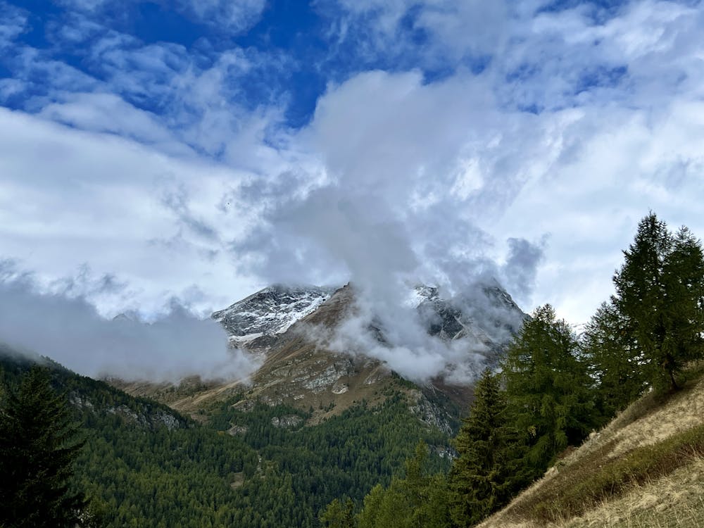
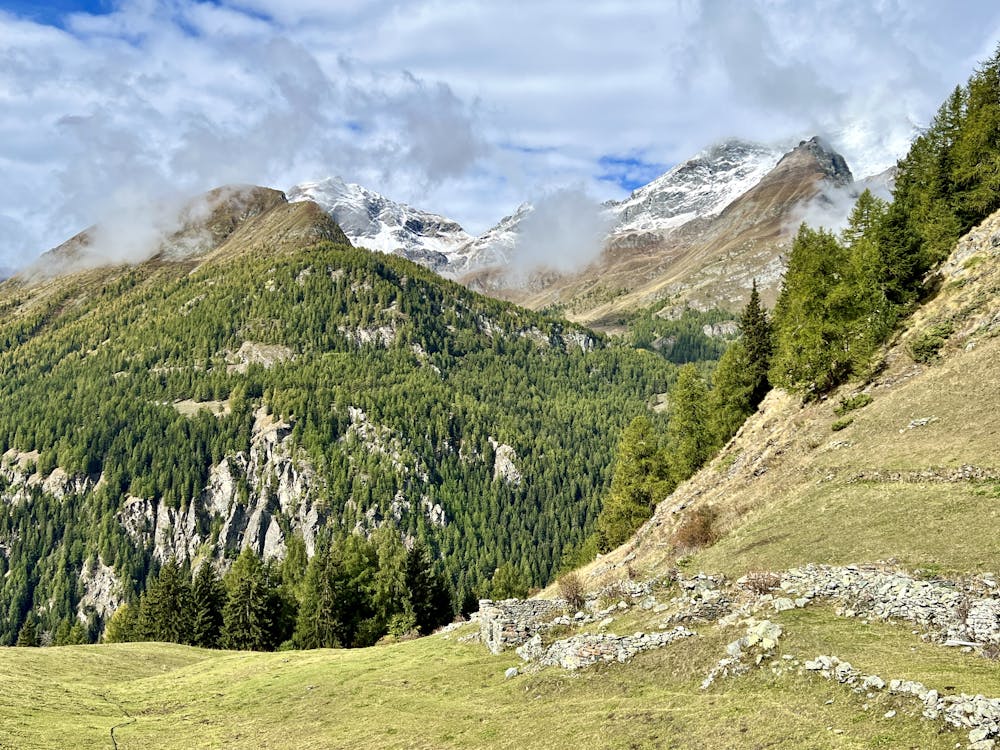
The steep climb up the mountain is definitely an aerobic challenge, and some sections of the trail can be quite rocky and a bit exposed. However, there is no technical climbing on this route—the trail is quite well built, and some stone steps even provide assistance as you climb through the steeper portions.
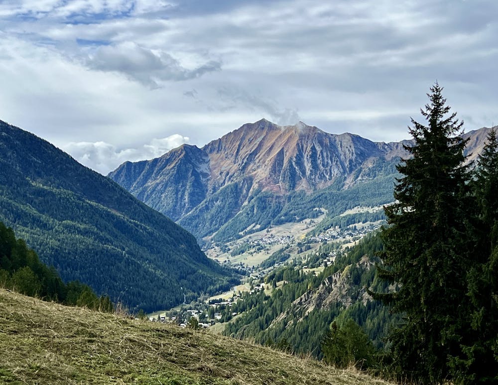
Eventually, you'll break out of the trees into a gorgeous farm field high on the mountainside, with views of the surrounding mountains opening up around you. After a bit more hiking, you'll reach the picturesque village of Sousson.
Once at the village, you have a few options. You could continue climbing high into the mountains for an epic adventure. You could return the way you came. You could head right toward the Champoluc Crest Gondola. Or you could go left, as shown here, and create an attractive loop with an easier downhill on a dirt road.
One benefit of taking a left is that the route passes by the top of the funicular. If the funicular is running, you could choose to take that down the mountain. Also, there are a couple of restaurants near the lift station, which provide a great option for a mid-hike lunch.
If you want to complete the route on foot, follow the dirt road down and around. The final stretch requires turning right onto a short bit of singletrack trail, which drops you out at the bottom station for the funicular.
All things considered, this is a fantastic little loop hike for this area of the Alps!
Difficult
Hiking trails where obstacles such as rocks or roots are prevalent. Some obstacles can require care to step over or around. At times, the trail can be worn and eroded. The grade of the trail is generally quite steep, and can often lead to strenuous hiking.

The trail contains some obstacles such as outcroppings and rock which could cause injury.

Close to help in case of emergency.
1 m away
Hike to an incredible alpine hut that's home to the highest elevation cheese cellar in Europe!
Difficult Hiking
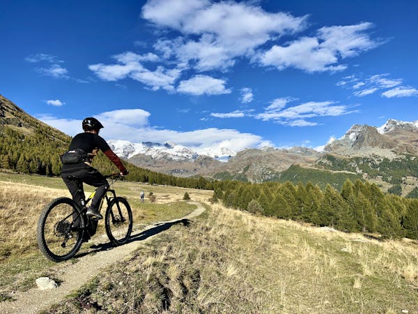
3 routes · Mountain Biking · Hiking