Émarèse - Testa di Comagna
A steep snowshoe hike in the middle of the woods, takes us to one of the most beautiful panoramic points of the Aosta Valley.
Snow Shoeing Moderate
- Distance
- 2.5 km
- Ascent
- 490 m
- Descent
- 2 m
- Duration
- 1-2 hrs
- Low Point
- 1.6 km
- High Point
- 2.1 km
- Gradient
- 24˚

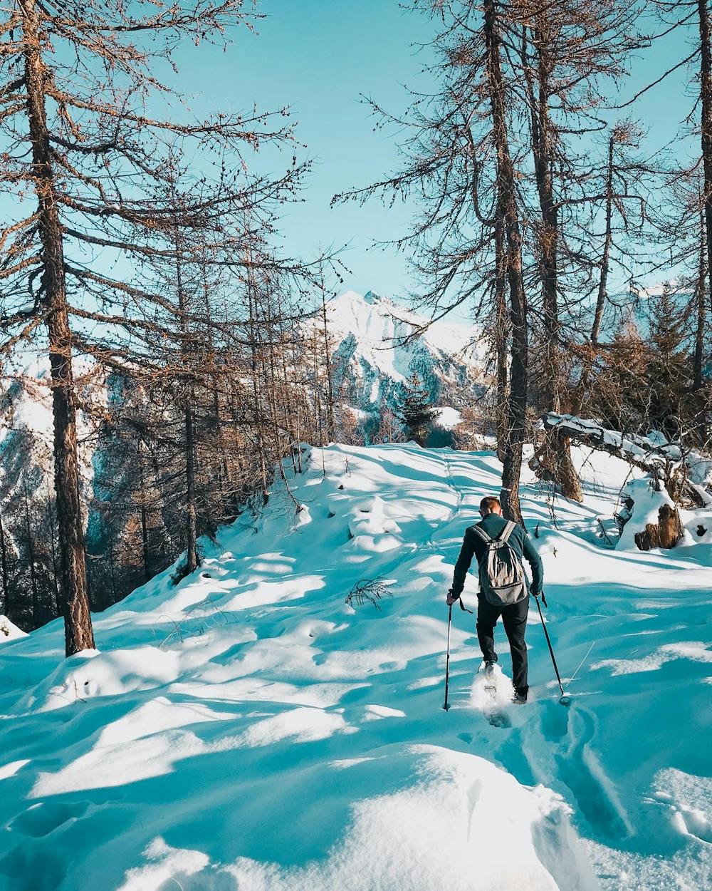
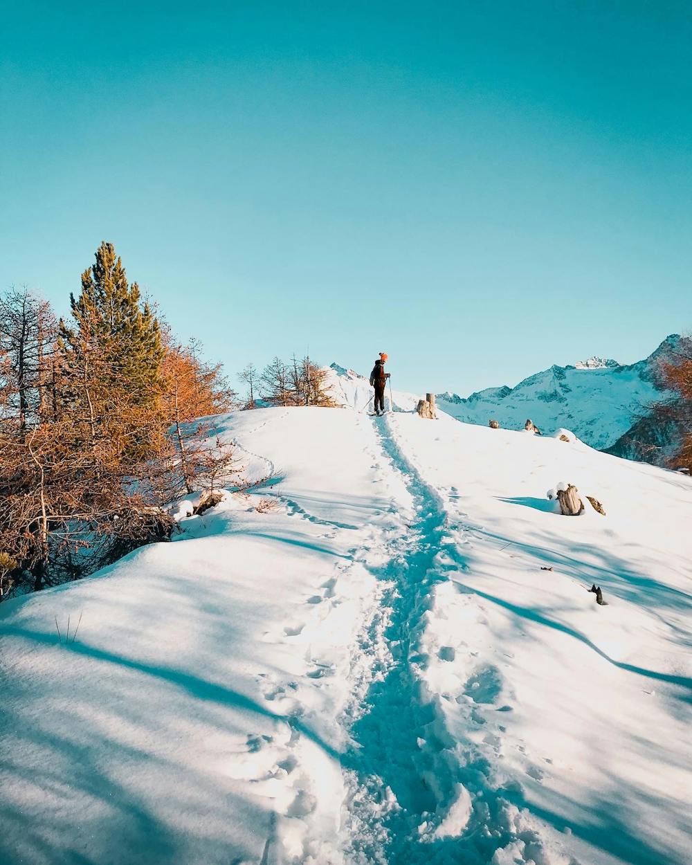
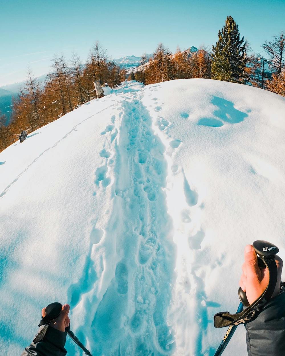
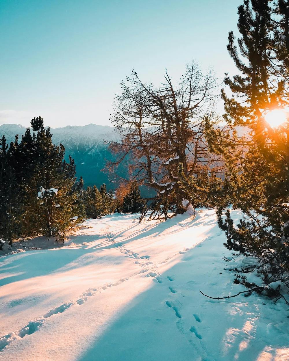
Starting from the parking lot of Col Tzecore (1660 m.), we immediately enter the path that crosses the snowy meadows until we reach a sign. From here the climb starts immediately steep among small rocks and pine needles, continues to climb in the dense and enchanted forest until we reach a hill, from here the view is already exceptional on all the peaks of Brusson and Champoluc. We continue our walk along the crest, where slowly the trees leave the space to an incredible view on all the peaks of the valley, behind us the ladies of Challand and the Nery group, in front of us from Zerbion (2722 m.) to Mont Blanc (4808 m.), on the left the Gran Tournalin (3379 m.). At the top, after 2,5km and +490m elevation gain, we find a cross waiting for us (2105 m.). I suggest to continue the walk on the entire ridge to fully experience the mountain!
- •
- •
- •
- •
Difficulty
Moderate
Low Exposure (E1)

Exposure is limited to that of the slope itself. Getting hurt is still likely if the slope is steep and/or the snow is hard.
Remoteness

Away from help but easily accessed.