9.4 km away
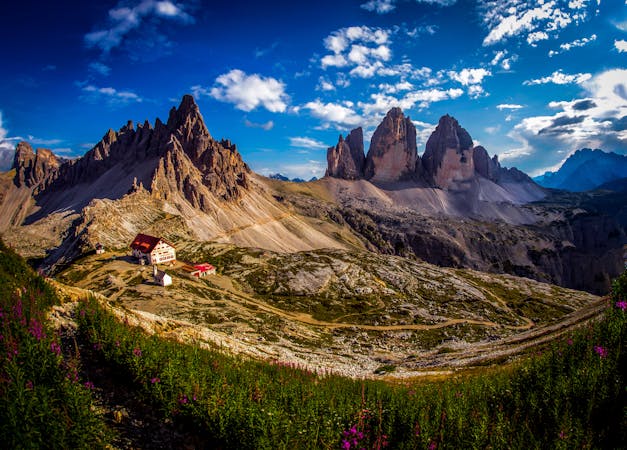
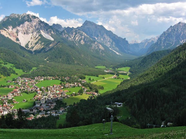
Tre Cime Circuit
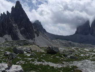
A beautiful loop around the most famous mountains in the Dolomites - The Tre Cime
Moderate Hiking
- Distance
- 9.7 km
- Ascent
- 439 m
- Descent
- 439 m
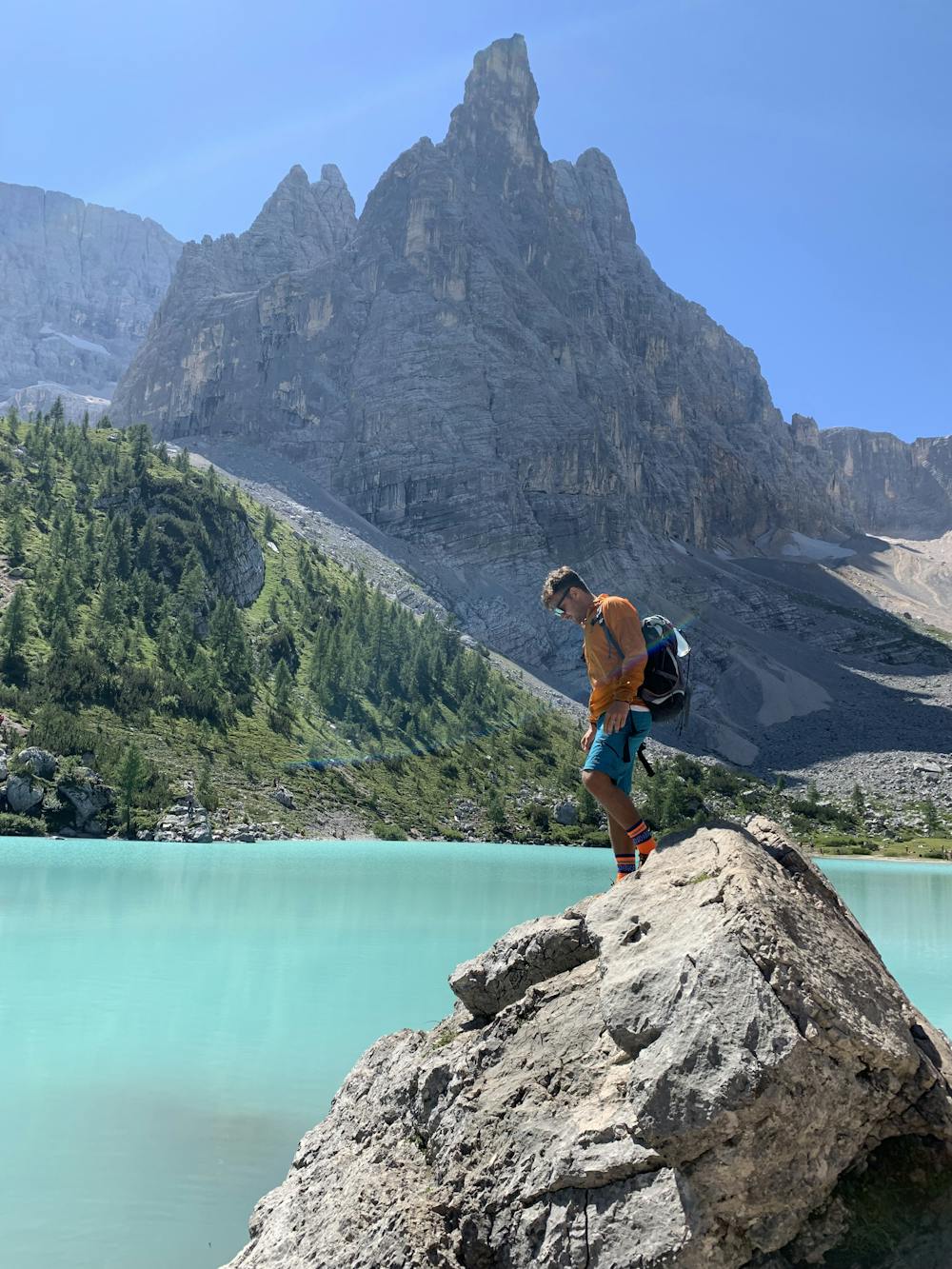
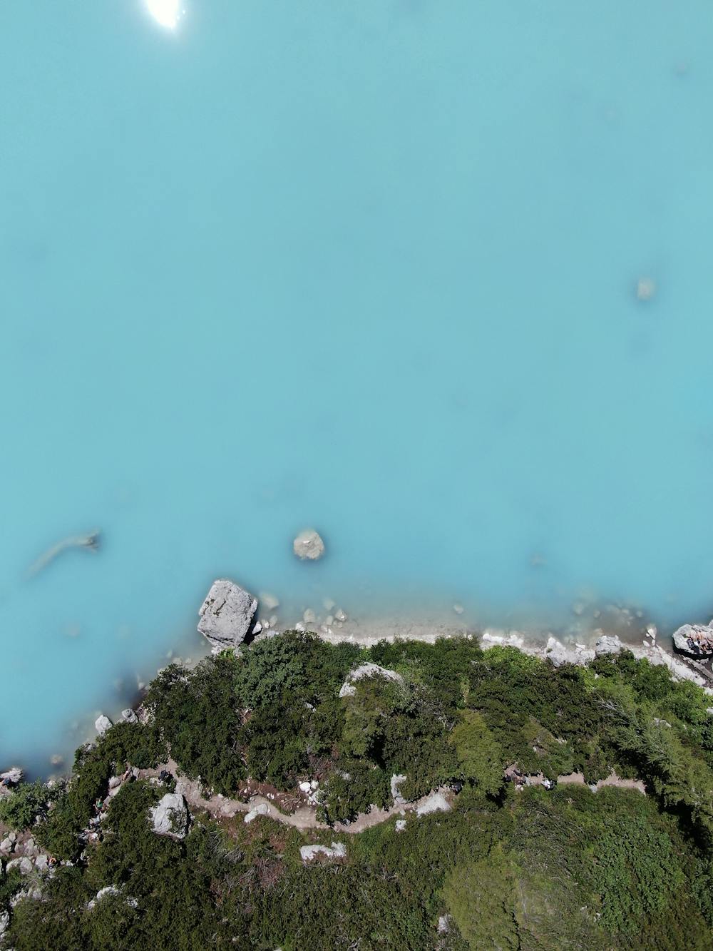
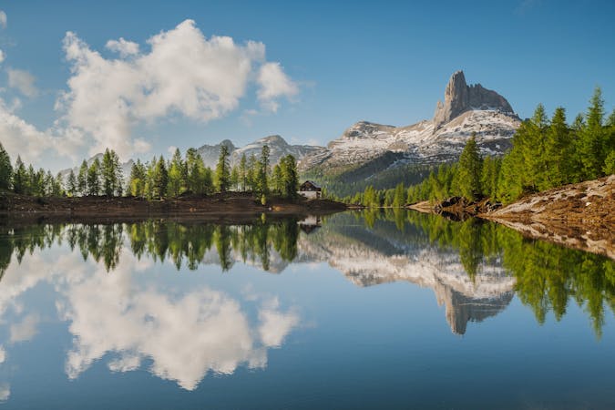
One of the most magical lakes in the Dolomites, with its distinctive and unusual intense turquoise colour.
Hiking Moderate

This walk to Lake Sorapis is one of the most beautiful excursions in the Dolomites. In fact the lake is famous for its intense colour, in hues ranging from light blue to turquoise. The colour is created by the fine rock dust brought down from the like-named glacier whose spring and summer meltwater gives rise to the lake. Starting from the Tre Croci Pass, take track n° 215. This is a varied, panoramic track, with uphill and downhill sections but only a small overall vertical distance. It runs through a beautiful forest, with views onto the mountain groups Cristallo, Popena, Cadini di Misurina and Tre Cime di Lavaredo. After an initial flat part, it becomes more difficult, with a number of metal ladders and some exposed sections along a flat ledge, equipped with metal cables. After these short equipped sections, you will soon reach the mountain lodge Rifugio Vandelli, an amenable, authentic lodge in a breath-taking position at the centre of a gigantic natural amphitheatre on the north slopes of Mount Sorapis, almost on the edge of the pedestal from which the waterfall emerges and plunges
downwards. From the lodge, originally built in 1890, you can see the Tre Cime di Lavaredo, Misurina and its lake to the north, and, closer, the superb Alpine lake that is like a gemstone set into the mountains, with the pinnacle “Dito di Dio” (“God’s Finger”, 2,603 m) above. The lake was formed directly in the rock, and it has no surface outflowing sources. In fact, its water reaches the large rock slab of the glacial floor underground, and finally emerges at the waterfall named “el Piss”. In fact the name of the mountain group “Sora el Piss” is derived from this etymology, meaning “above the Piss waterfall”. During the winter season, the many cascades freeze, providing ice-climbing opportunities for alpinists. To return to the starting point, we suggest following the same route, along track n° 215. By car: From the centre of Cortina, take the state road towards Passo Tre Croci-Misurina and, when you have reached the Pass, park the car. By bus: From the bus station, take the bus operated by Dolomiti Bus (check the Dolomiti Bus website for times) towards Misurina-Tre Cime di Lavaredo and get off at the Passo Tre Croci stop.
Moderate
Hiking along trails with some uneven terrain and small hills. Small rocks and roots may be present.

The trail contains some obstacles such as outcroppings and rock which could cause injury.

Close to help in case of emergency.
9.4 km away
A beautiful loop around the most famous mountains in the Dolomites - The Tre Cime
Moderate Hiking
3 routes · Hiking
6 routes · Hiking
6 routes · Mountain Biking · Hiking