2.2 km away
Hexenstein / Sass de Stria
A beautifully situated peak in the heart of the Dolomites
Difficult Hiking
- Distance
- 5.4 km
- Ascent
- 555 m
- Descent
- 555 m
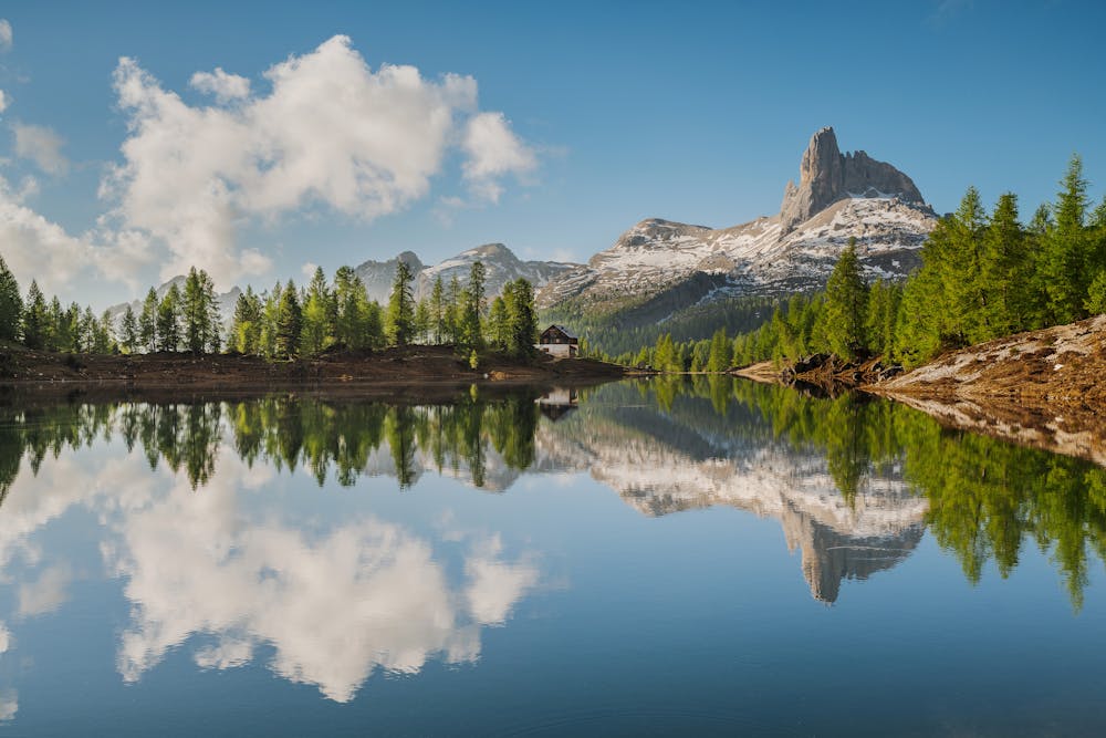
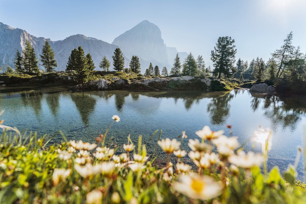
The route continues for the sixth stage to reach the mountain lodge Rifugio Croda da Lago, covering about 14.5 km amidst panoramic views and enchanting blue lakes.
Hiking Moderate

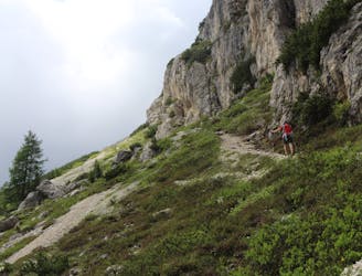
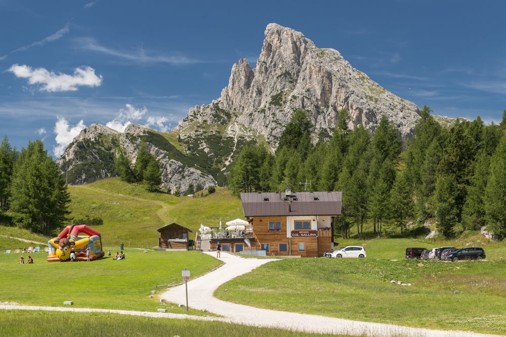
On the sixth day, start from Rifugio Col Gallina and take track n° 419 towards Rifugio Averau, walking along the lovely alpine Lake Lìmedes. When you have reached Rifugio Averau, continue along track n° 452 to the Giau Pass. At the pass, cross the road and take track n° 436 until you reach the gully Forcella Ambrizzola. From here, take track n° 434 which brings you to the mountain lodge Rifugio Croda da Lago where you can spend the last night. Alternatively, continue on track n° 432 until you reach Malga Federa mountain hut and stay there for the night. By now you have walked for a total of 110 km.
Approximate hiking times:
From Rifugio Col Gallina (2,034 m) to Rifugio Averau (2,413 m), about 40 minutes
From Rifugio Averau (2,413 m) to Berghotel Passo Giau (2,236 m), about 1 h 30
From Berghotel Passo Giau (2,236 m) to Rifugio Croda da Lago (2,046 m), about 3 h
From Rifugio Croda da Lago (2,046 m) to Malga Federa (1,861 m), about 30 minutes
Moderate
Hiking along trails with some uneven terrain and small hills. Small rocks and roots may be present.

The path is on completely flat land and potential injury is limited to falling over.
Close to help in case of emergency.
2.2 km away
A beautifully situated peak in the heart of the Dolomites
Difficult Hiking
3 routes · Hiking

7 routes · Hiking
6 routes · Mountain Biking · Hiking