Tour of Pianozes Lake (Trail Running)
Cortina d'Ampezzo
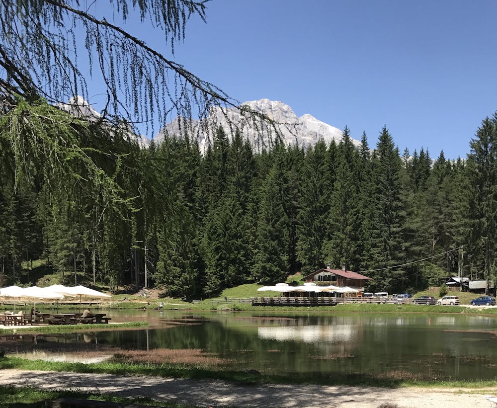
The Lake Pianozes route is one of Cortina’s most popular locations, offering unexpected views and breath-taking emotions, not far from the centre of the Queen of the Dolomites
Trail Running Easy
- Distance
- 10 km
- Ascent
- 275 m
- Descent
- 274 m
- Duration
- 1-2 hrs
- Low Point
- 1.1 km
- High Point
- 1.2 km
- Gradient
- 5˚

The Lake Pianozes route is one of Cortina’s most popular locations, offering unexpected views and breath-taking emotions, not far from the centre of the Queen of the Dolomites.
Description
The Lake Pianozes circuit, with a length of about ten kilometres, enables you to enjoy unexpected views and hidden areas of Cortina, not far from the centre of the town, Queen of the Dolomites. The route starts from the centre and moves southwards amongst green pastures, forests and the peace of nature.
Starting from the centre, head towards the monastery area, just below the A.R. Apollonio tennis club and take the dirt road immediately after the car park. Follow the dirt track until you reach the houses of Campo di Sopra, and from here you can admire some of the most beautiful peaks in the Valley, such as the Becco di Mezzodì and Antelao mountains. Go through Campo di Sotto, keeping right, and take the road on the left, crossing the bridge and then going uphill for a brief stretch. After this you will find a clearing where the starring role is played by Lake Pianozes with its unique atmosphere, created by areas of shade and tiny visitors such as ducks and dormice. Continue alongside the lake on the left and take track n° 449 that runs through the forest: on this part of the route you will find bridges, streams, and areas in which to eat lunch, on a level track set amongst majestic trees. It will take you into Socol, in the area south of Cortina.
After having completed the descent, cross the bridge and go along the left-hand side of the Pian da Lago area, famous for the presence of many artisans, and you will reach the Olympic Ski Jump area. The Trampolino Italia (Italia ski-jumping hill) is one of the symbols of the 1956 Olympics, which took place in Cortina d’Ampezzo. After you have gone past this landmark, and having completed a brief uphill stretch, in the centre of Zuel you can take the “ex Ferrovia” (disused railway) cycle path that runs through the whole valley. Continue on this path until you reach the station, and from there you will get back to the town centre in just a few minutes.
Difficulty
Easy
Low Exposure

The path is on completely flat land and potential injury is limited to falling over.
Remoteness
Close to help in case of emergency.