Trail Running Lavaredo Ultra Trail (LUT)
Cortina d'Ampezzo
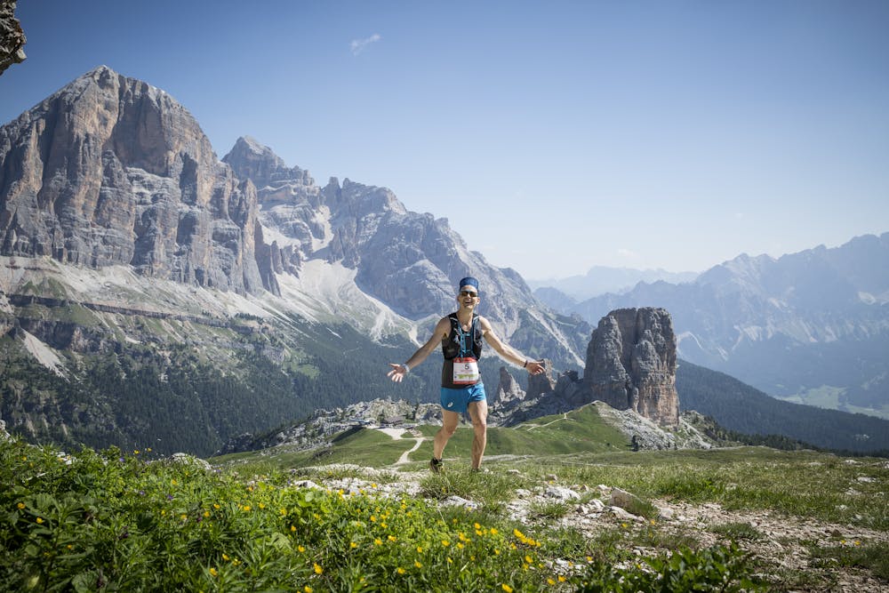
The itinerary of the famous Lavaredo Ultratrail, the international race that takes place in Cortina every year: one of the most beautiful Trail Running competition of the world
Trail Running Difficult
- Distance
- 120 km
- Ascent
- 5.6 km
- Descent
- 5.6 km
- Duration
- 1 day +
- Low Point
- 1.2 km
- High Point
- 2.4 km
- Gradient
- 11˚

The most expert and daring hikers can tackle the route taken every year, in June, by athletes from all over the world competing in the trail running contest named Lavaredo Ultra Trail.
Description
Starting from the centre of Cortina, take the state road SS 51 towards Dobbiaco, keep going towards the picturesque village Cadin until you reach track n° 416/409, taking it towards the Posporcora Pass, and then turn right onto track n° 408 towards Pian de ra Spines. From here, on the left take the dirt road n° 417 and, after having crossed River Boite, turn left and then right, going uphill on the dirt road to Sant’Uberto.
From here, turn right on the dirt road, going uphill towards the Rifugio Ospitale mountain lodge. Take the underpass and turn left to reach the disused railway, and carry on for 2 km, then take track n° 203 on your right, towards Val Padeon/Forcella Son Forca. Go uphill through the long, wild Val Padeon valley, between Mount Pomagagnon and Mount Cristallo, until you reach the Cristallo skiing pistes. From here, go downhill towards the Tre Croci Pass along track n° 203.
Cross the road and take track n° 209 which will lead you through the forest to Valbona, offering a number of spectacular viewpoints towards the Tre Cime di Lavaredo peaks. Once you have reached Hotel Cristallo, carry on uphill on track n° 120 towards the Rifugio Città di Carpi mountain lodge, and then leave it and take the track on the left towards Misurina/Lake d’Antorno. Right opposite you will have fine views of the Tre Cime di Lavaredo peaks and Lake Misurina, the largest natural lake in the Cadore valley, with the Cadini mountains on the right and the Cristallo and Popena mountains on the left. Once you have reached the lake with its crystal-clear water, it is worth pausing to admire the Sorapiss massif behind you, looking onto the small, enchanting Alpine lake.
After the lake, at the crossroads take the tarmac road on the right towards the Tre Cime di Lavaredo peaks. From this point, the road goes uphill for seven kilometres. Carry on uphill until you reach Lake d’Antorno. Here the forest gradually gives way to clearings, flower-strewn pastures and high-altitude mountain views.
Hike on to the Rifugio Auronzo mountain lodge, and from here continue on track n° 101 which will lead you around the majestic Tre Cime di Lavaredo peaks, to the Rifugio Locatelli mountain lodge, from which you can admire these mountains in all their splendour. Then go downhill through the Val Rienza valley, following track n° 102 towards Lake Landro. After having reached the disused railway, you will start going uphill again, towards the Cimabanche Pass: shortly after the Pass, on your right, take track n° 108, a dirt road that will bring you to Lerosa, an enchanting clearing at the feet of the mountains Croda Rossa d’Ampezzo and Croda de R’Ancona. From here, go downhill on track n° 8 to Ra Stua, and carry on downwards following track n° 6 to Pian de Loa, where you cross track n° 10 and then track n° 401, which will bring you into the wild Val Travenanzes valley.
Difficulty
Difficult
Medium Exposure

The trail contains some obstacles such as outcroppings and rock which could cause injury.
Remoteness

Little chance of being seen or helped in case of an accident.