Opreno Coldara
Facile escursione che porta a costa coldara
Hiking Easy
- Distance
- 6.8 km
- Ascent
- 429 m
- Descent
- 430 m
- Duration
- 2-3 hrs
- Low Point
- 549 m
- High Point
- 955 m
- Gradient
- 12˚
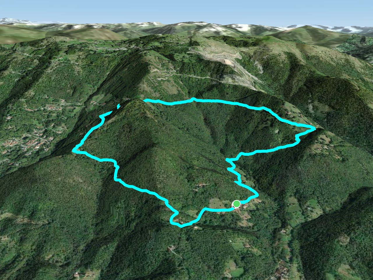
This is a popular hiking route which is generally considered to be easy. It's not remote, it features low exposure and is typically done between March and December. From a low point of 549 m to the maximum altitude of 955 m, the route covers 6.8 km, 429 vertical metres of ascent and 430 vertical metres of descent.
Description
Si parte da Opreno seguendo indicazioni per col pedrino e costa coldara
Difficulty
Easy
Walking along a well-kept trail that’s mostly flat. No obstacles are present.
Low Exposure

The path is on completely flat land and potential injury is limited to falling over.
Remoteness
Close to help in case of emergency.
Best time to visit
Features
- Wildlife
- Wild flowers
- Family friendly