1 km away
Alta Via Dolomiti 1
The classic route of the 10 Alta Via Dolomiti high altitude trails.
Moderate Hiking
- Distance
- 112 km
- Ascent
- 6.7 km
- Descent
- 7.8 km
The Alta Via delle Dolomiti n. 1 winds along a path of 125 km and 7,300 m of altitude gain, consisting of 12 stages, which connects Lake Braies (BZ) with Belluno.
Also in Belluno, Italy
Hiking Difficult

The route, the first, the most classic and the most famous of the great Dolomite itineraries, consists of 12 stages and connects several municipalities and regions, starting from Lake Braies and arriving in Belluno. The itinerary can be divided up into three distinct parts:
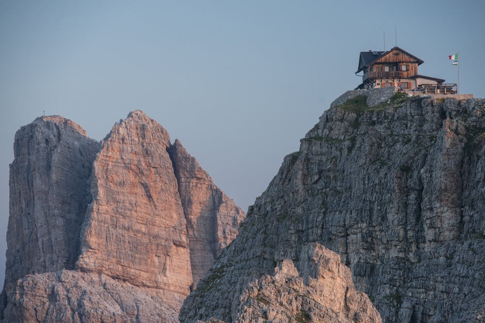
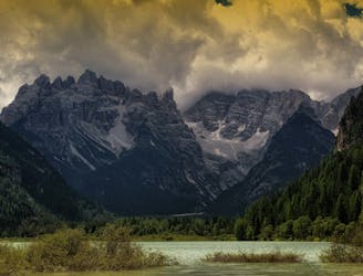
From the Lago di Bràies to the Tofàne with the Dolomite groups of the Croda Rossa d’Ampezzo, Fànis, Tofàne.
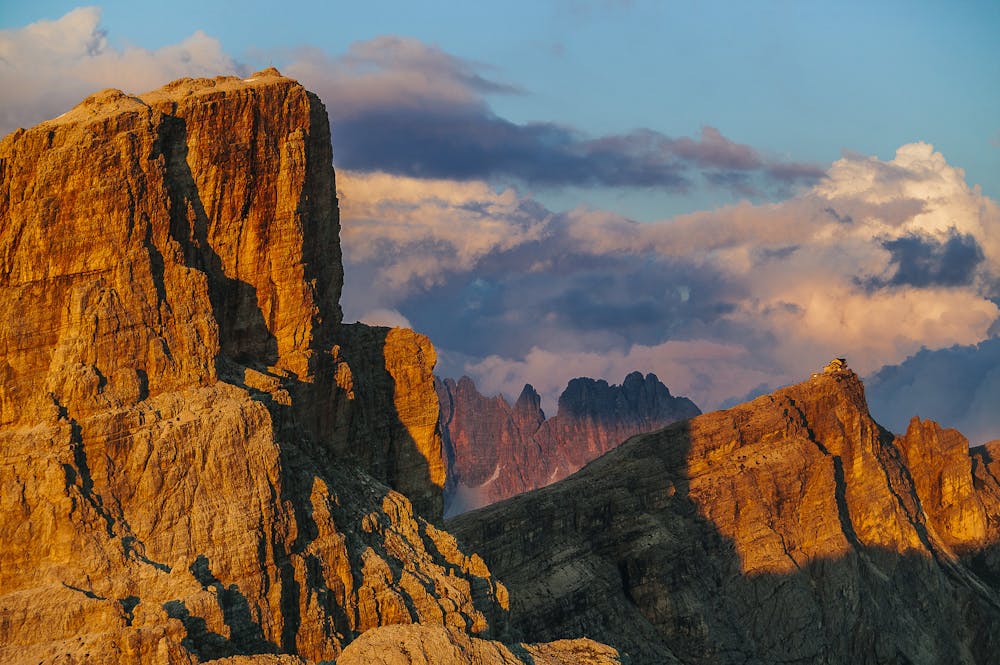
From the Tofàne to the Civetta with the Dolomite groups of the Nuvolàu, Croda da Lago, Pelmo and Civetta.
From the Civetta to Belluno, with the Dolomite groups of the Moiazza, Tàmer-San Sebastiano, Prampèr-Mezzodì, Schiara.
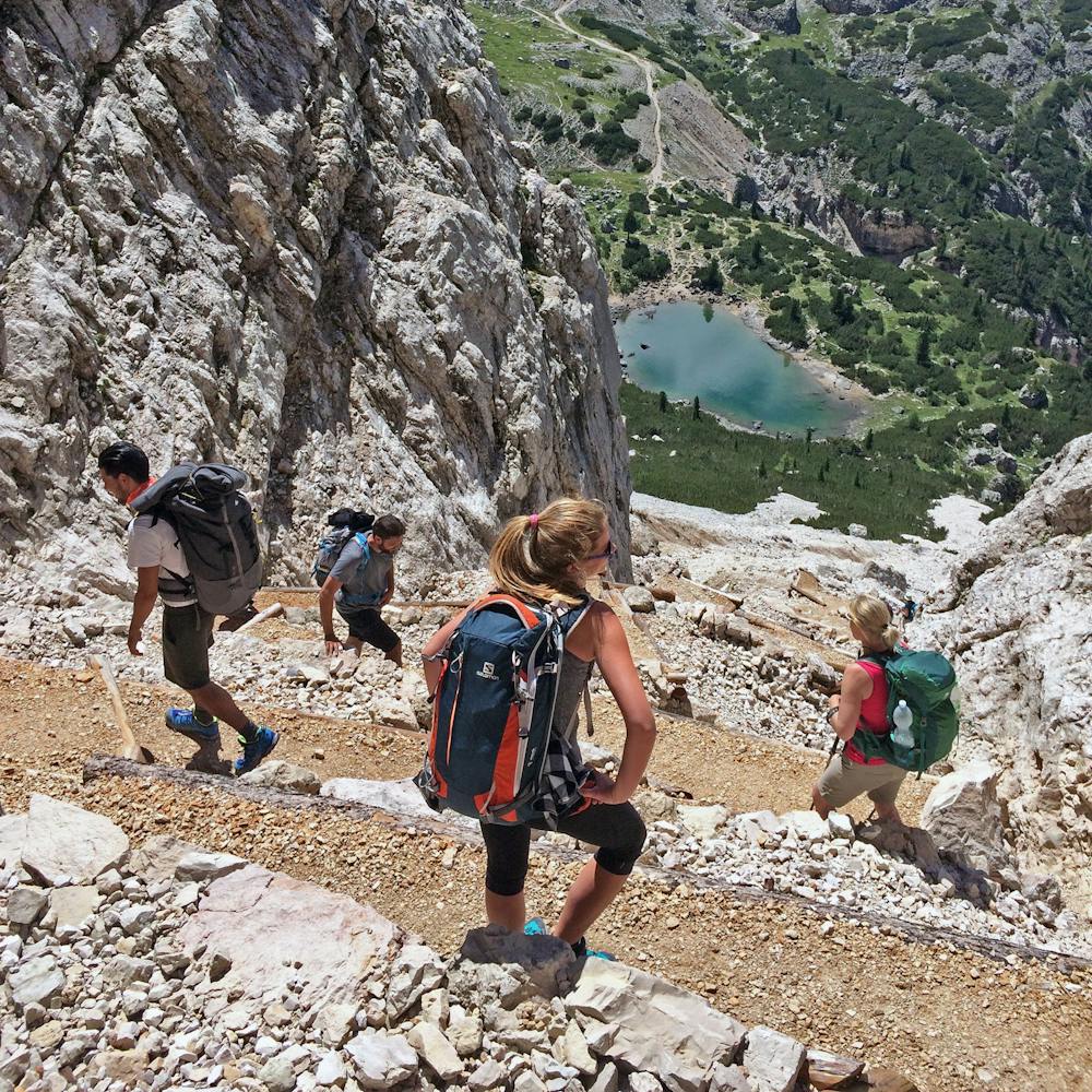
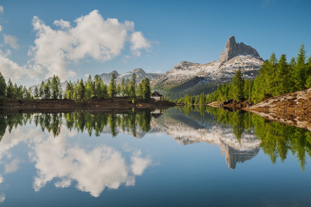
The basic route follows paths that are not particularly difficult for an experienced hiker; in addition, passages or stretches that are a little rough are always equipped. Along the way there are many alpine pastures and traditional huts where to get some refreshment and spend the night. To suit the tastes of more expert hikers, some alternatives to the classic route are suggested. These variants are more technical and challenging hikes, as they go along via ferratas (equipped paths) or climb up to reach the famous peaks of the various mountain groups.
Difficult
Hiking trails where obstacles such as rocks or roots are prevalent. Some obstacles can require care to step over or around. At times, the trail can be worn and eroded. The grade of the trail is generally quite steep, and can often lead to strenuous hiking.

The trail contains some obstacles such as outcroppings and rock which could cause injury.

Little chance of being seen or helped in case of an accident.
1 km away
The classic route of the 10 Alta Via Dolomiti high altitude trails.
Moderate Hiking
8.5 km away
A challenging 100km high altitude hike across the eastern Dolomites.
Difficult Hiking

10 routes · Hiking