7 routes · Hiking
The most iconic locations of the Unesco Dolomites, in a unique multi-stage trek.
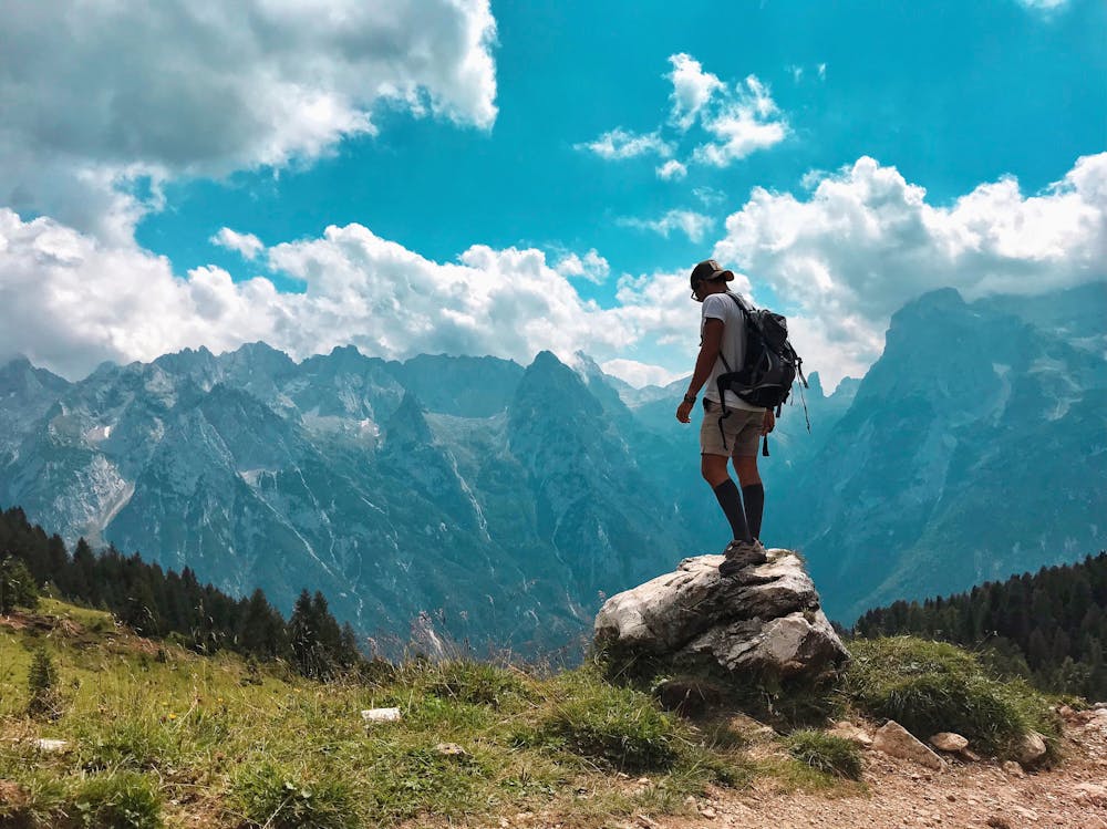
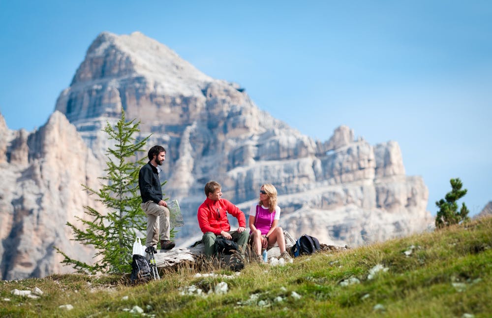
Hiking Difficult

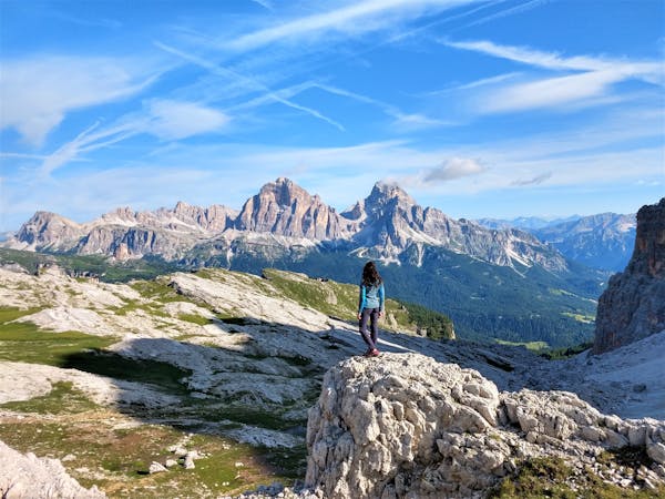
The most iconic locations of the Unesco Dolomites, in a unique multi-stage trek. “Cortina Dolomiti Ultra Trekking” is a trek of about seven days with six nights in mountain lodges and traditional malga mountain huts, where you can enjoy the many local culinary specialities in the company of mountain lovers. It covers a total distance of about 132 km with a total ascent and descent of over 6,700 m.
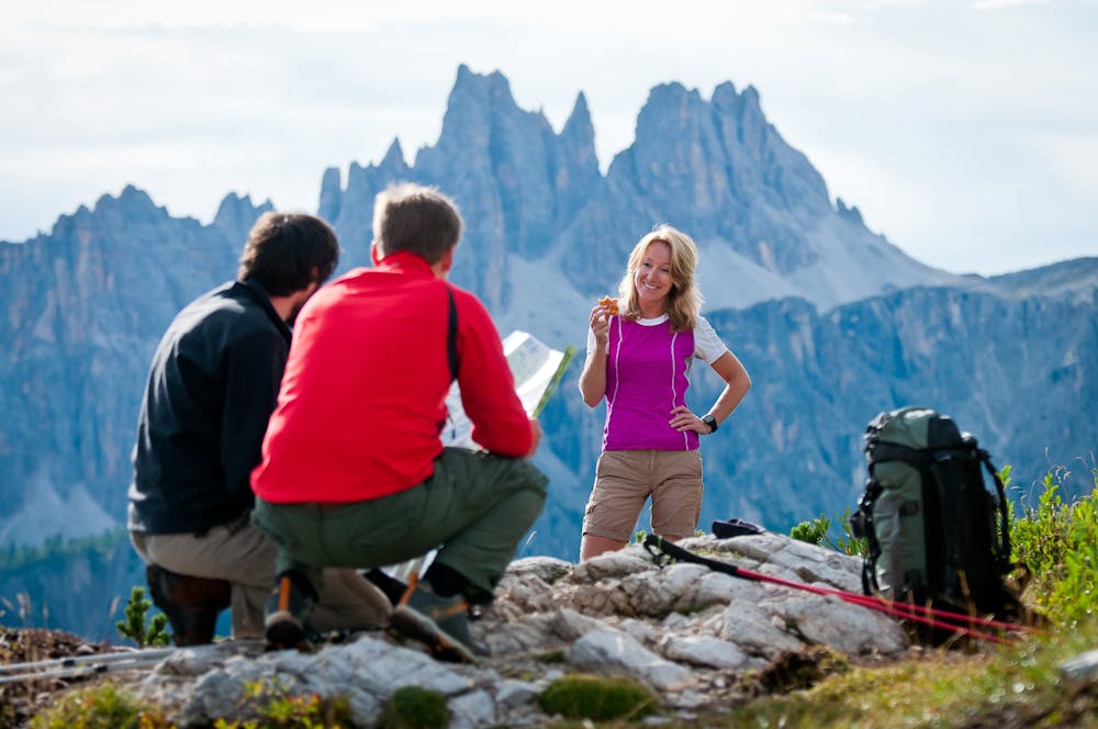
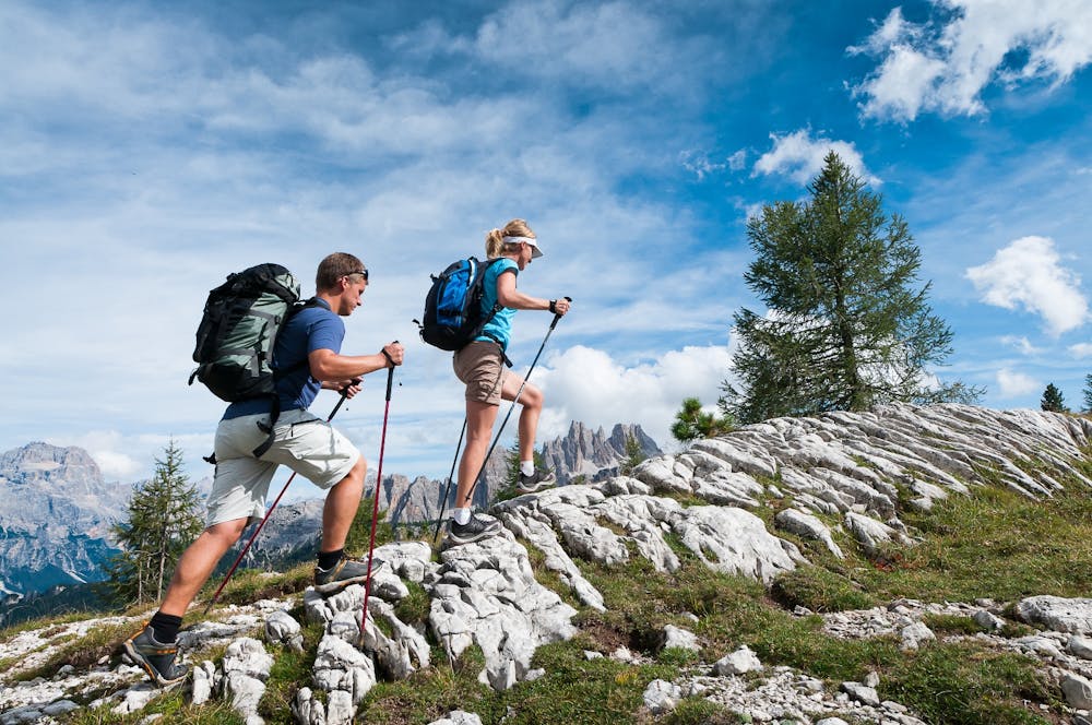
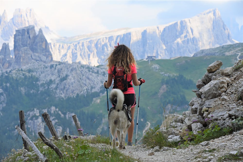
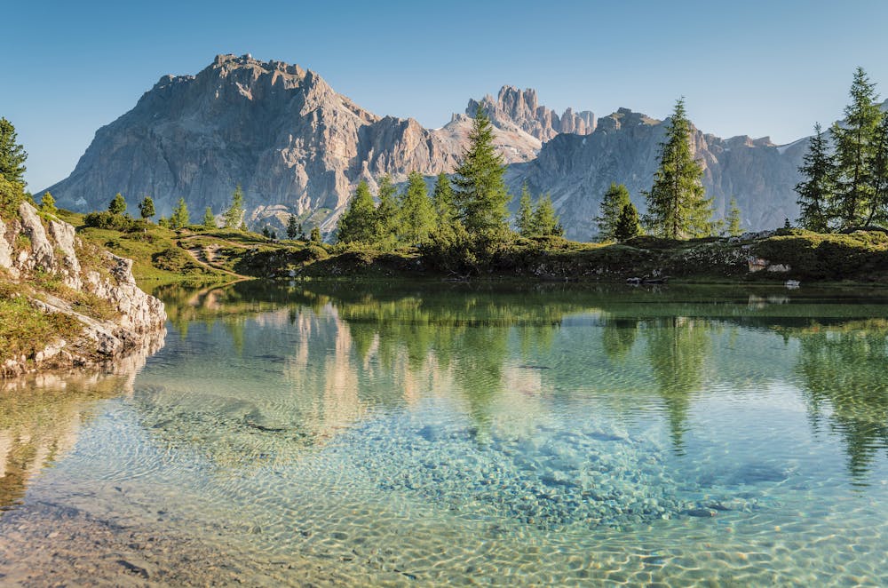
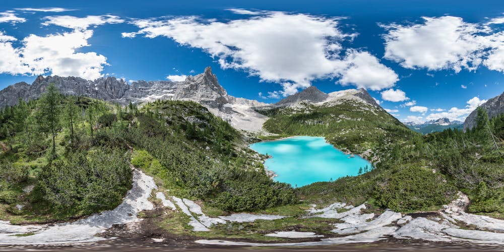
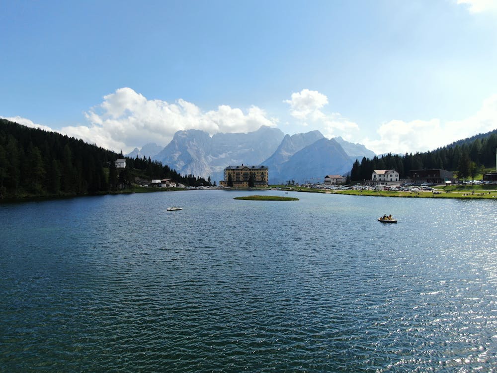
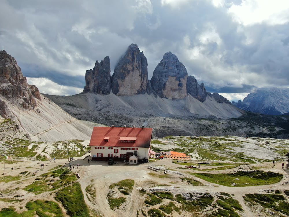
The trek was designed with the objective of revealing the enchanted locations that are hidden in Cortina and its surroundings, making it possible to experience the Dolomites by hiking from one mountain lodge to the next, walking amongst forests, rivers, malga mountain huts, traditional Ladin villages, lakes and peaks that are part of the Unesco World Heritage List: an experience that will remain in your heart for a lifetime.
Look at the single stages to find out all the details of every single one.
Difficult
Hiking trails where obstacles such as rocks or roots are prevalent. Some obstacles can require care to step over or around. At times, the trail can be worn and eroded. The grade of the trail is generally quite steep, and can often lead to strenuous hiking.

The trail contains some obstacles such as outcroppings and rock which could cause injury.
Away from help but easily accessed.
7 routes · Hiking