1.4 km away
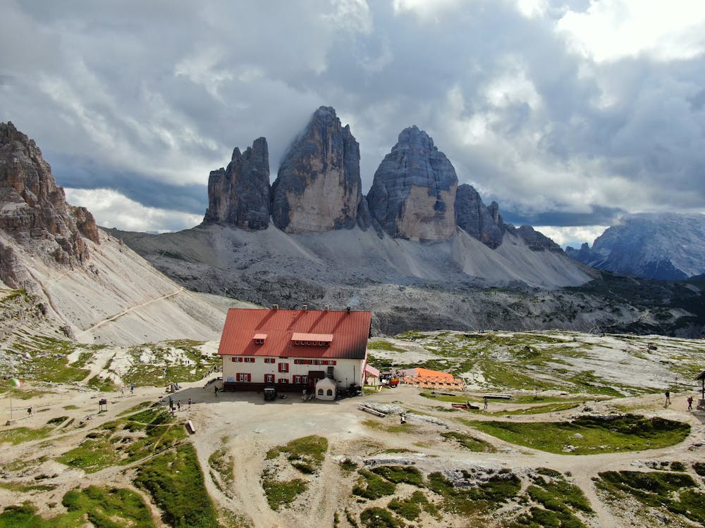
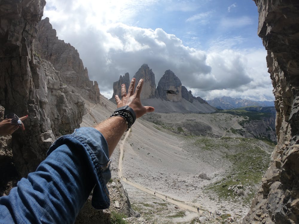
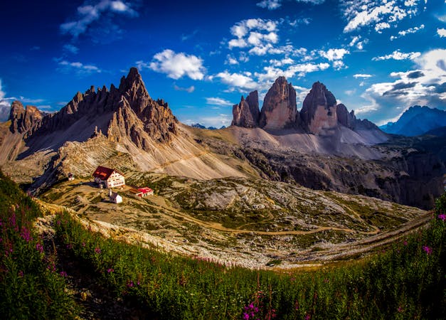
Tre Cime Circuit
A beautiful loop around the most famous mountains in the Dolomites - The Tre Cime
Moderate Hiking
- Distance
- 9.7 km
- Ascent
- 439 m
- Descent
- 439 m
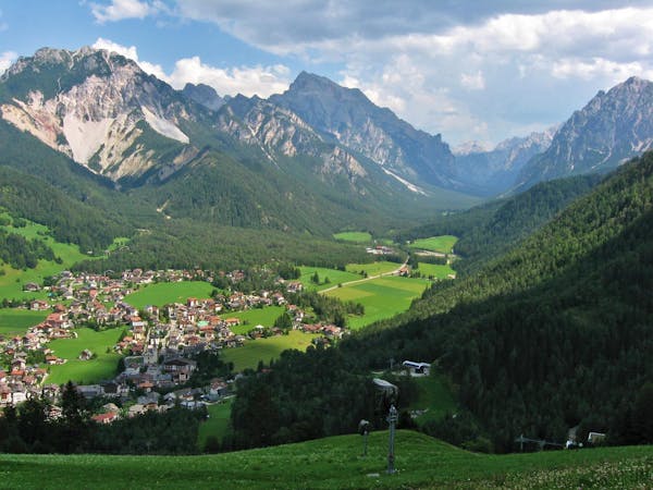
A long but pleasant hike reaching Malga Ra Stua.
Also in Belluno, Italy
Hiking Moderate

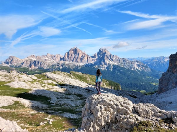
On the fourth day, after having stayed at the mountain lodge Rifugio Lavaredo, take track n° 102 which brings you to Lake Landro in about 3 hours, and continue along the cycle path towards Cortina. After crossing the Cimabanche Pass, you reach Lake Bianco. To complete the day’s hike, cross the road and take track n° 8, and you will reach Malga Ra Stua, where you can stay for the fourth night, in about 2 hours. By now you have covered about 80 km of the total distance.
Approximate hiking times:
From Rifugio Lavaredo (2,344 m) to Rifugio Locatelli (2,300 m), about 1 h
From Rifugio Locatelli (2,300 m) to Hotel Tre Cime (1,406 m), about 3 h
From Hotel Tre Cime (1,406 m) to Malga Ra Stua (1,668 m), about 3h 30
Moderate
Hiking along trails with some uneven terrain and small hills. Small rocks and roots may be present.

The path is on completely flat land and potential injury is limited to falling over.
Close to help in case of emergency.
1.4 km away
A beautiful loop around the most famous mountains in the Dolomites - The Tre Cime
Moderate Hiking
9.7 km away
Hike the Dolomites from Sesto Pusteria to Pieve di Cadore along a tough high altitude trail.
Severe Hiking
3 routes · Hiking

10 routes · Hiking
7 routes · Hiking
6 routes · Mountain Biking · Hiking