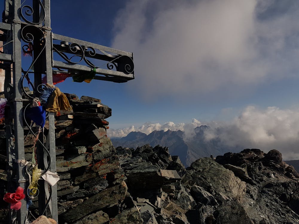
Bric de Ruben (Mongioia) #backtopuremountain
Da Sant'Anna di Bellino attraversando il vallone del Rui, salita versante lago e discesa per il versante francese
Hiking Moderate
- Distance
- 17 km
- Ascent
- 1.5 km
- Descent
- 1.5 km
- Duration
- 5-6 hrs
- Low Point
- 1.8 km
- High Point
- 3.3 km
- Gradient
- 18˚

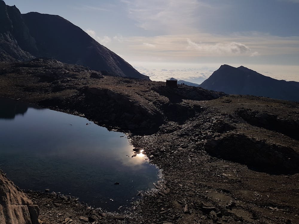
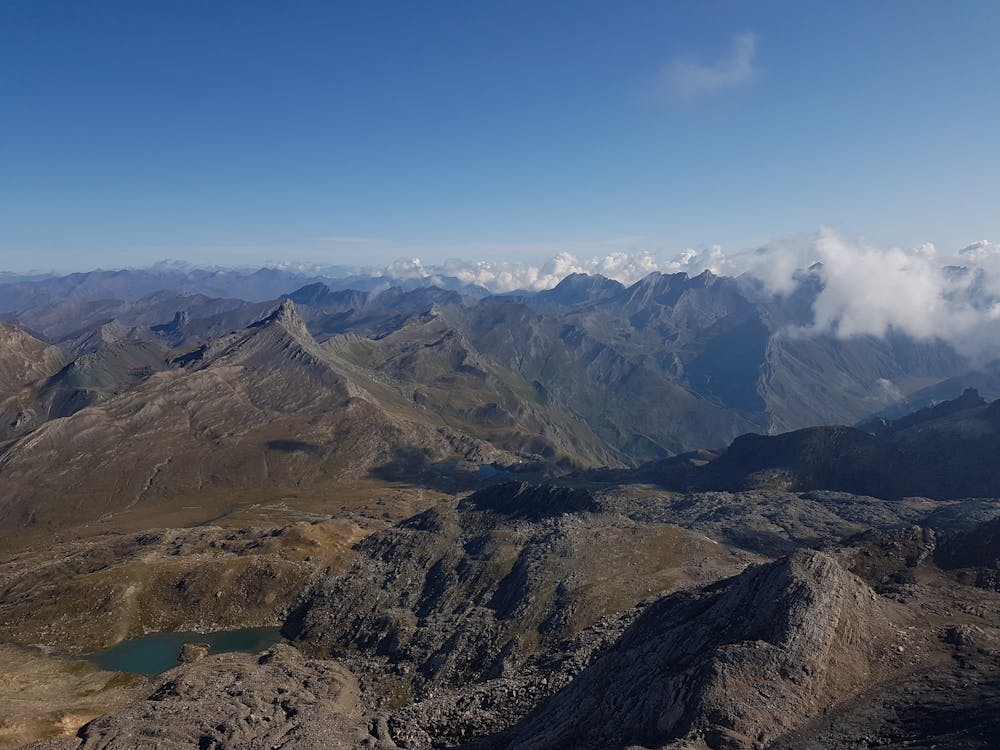
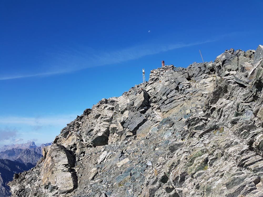
Il Mongioia è una delle cime più alte della provincia di Cuneo, ma anche una delle più facili da raggiungere. Da Sant'Anna di Bellino si percorre il lungo vallone di Rui dove, al termine, si svolta a sinistra e con salita molto ripida si va a raggiungere il passo Mongioia e il bivacco Boerio.
- •
- •
- •
- •
Difficulty
Moderate
Hiking along trails with some uneven terrain and small hills. Small rocks and roots may be present.
Low Exposure

The path is on completely flat land and potential injury is limited to falling over.
Remoteness

Away from help but easily accessed.
Best time to visit
Features
- Picturesque
- Summit Hike