Sentiero Carlo Mattio #backtopuremountain
Anello che si sviluppa sul Mombracco di Sanfront, toccando il bivacco Mulatero
Hiking Moderate
- Distance
- 5.6 km
- Ascent
- 625 m
- Descent
- 625 m
- Duration
- 2-3 hrs
- Low Point
- 593 m
- High Point
- 1.2 km
- Gradient
- 19˚

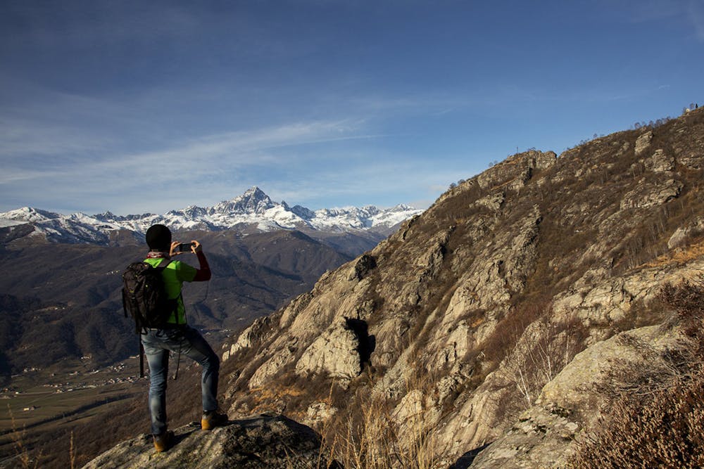
This is a popular hiking route which is generally considered to be moderate. It's remote, it features medium exposure and is typically done between April and September. From a low point of 593 m to the maximum altitude of 1.2 km, the route covers 5.6 km, 625 vertical metres of ascent and 625 vertical metres of descent.
Description
Percorso ad anello con partenza dal parcheggio nei pressi del rifugio Miravidi caratterizzato dal passaggio in prossimità di splendide pareti di roccia per l'arrampicata sportiva e dal rifugio non attrezzato Stefano Mulatero, ubicato in posizione molto panoramica
Difficulty
Moderate
Hiking along trails with some uneven terrain and small hills. Small rocks and roots may be present.
Medium Exposure

The trail contains some obstacles such as outcroppings and rock which could cause injury.
Remoteness
Away from help but easily accessed.
Best time to visit
Features
- Alpine
- Historical
- Picturesque