Abandoned village of Col di Favilla
A short walk through the Apuans Alps discovering an abondened district.
Hiking Moderate
- Distance
- 7.5 km
- Ascent
- 551 m
- Descent
- 551 m
- Duration
- 2-3 hrs
- Low Point
- 537 m
- High Point
- 996 m
- Gradient
- 17˚

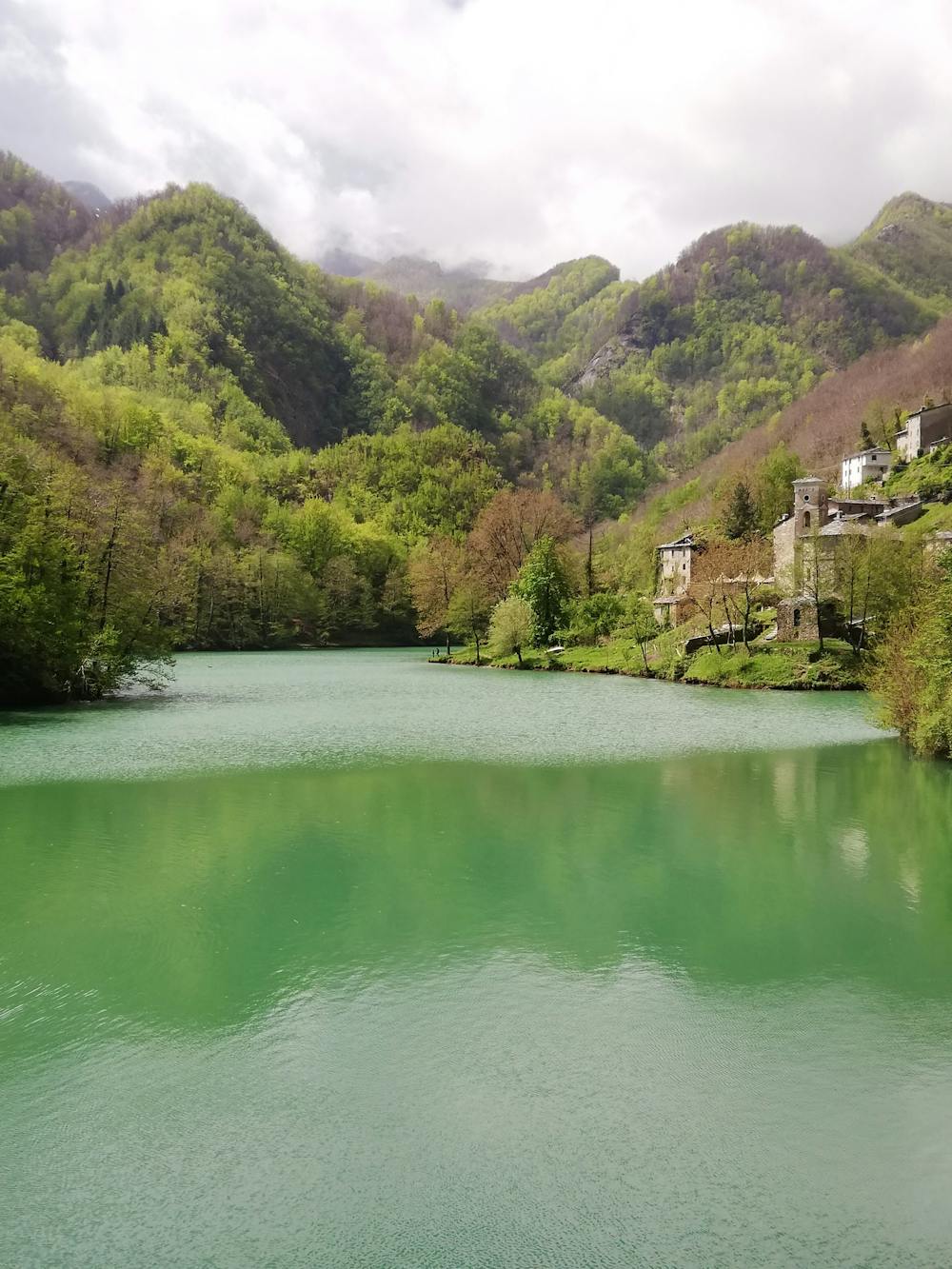
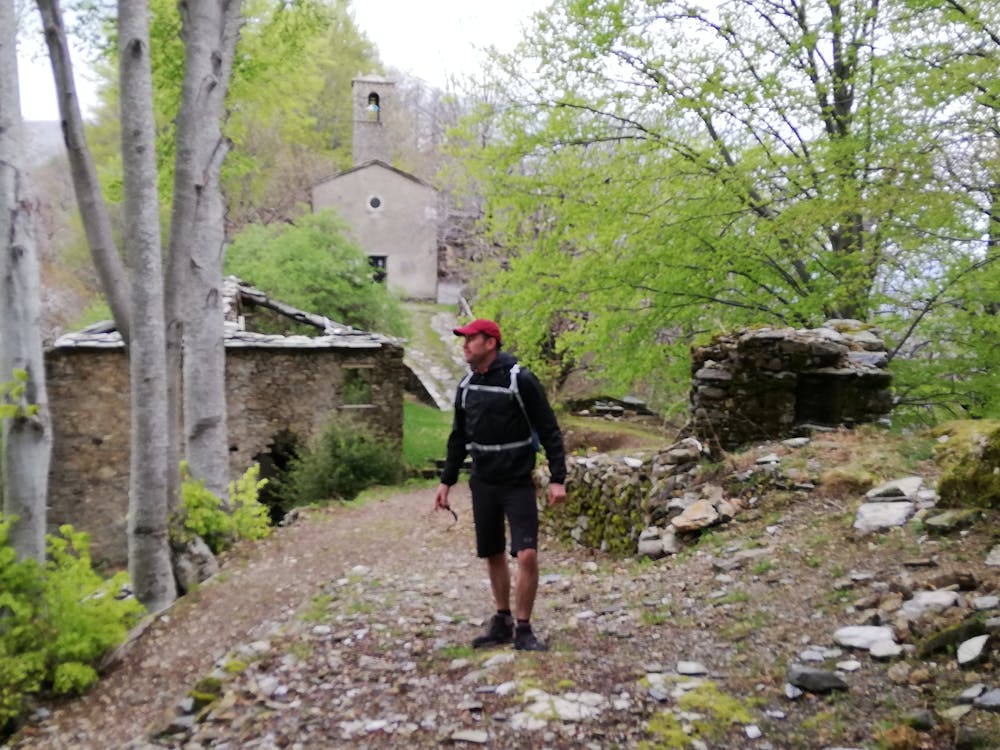
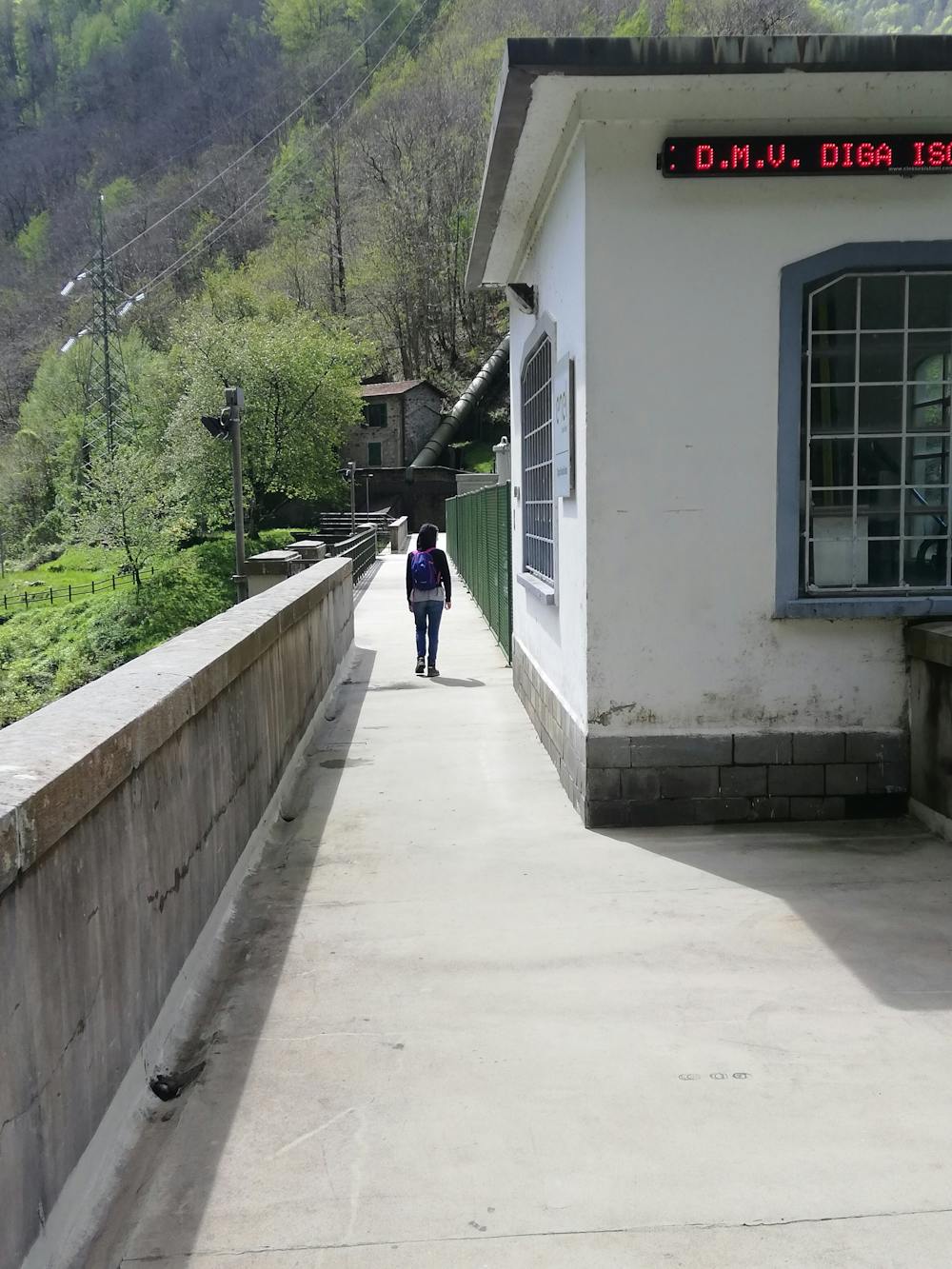
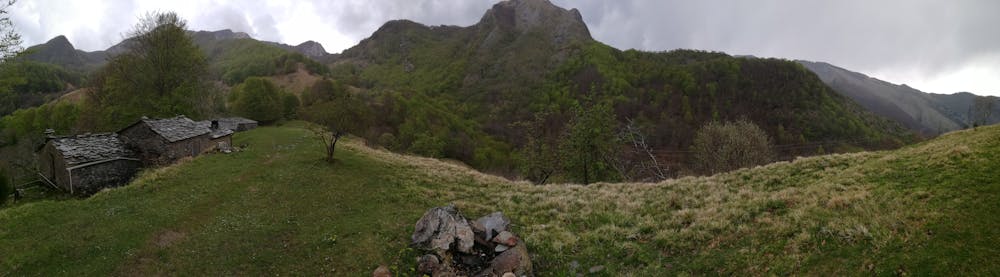
A nice and pretty short walk into the Apuans Alps. From Isola Santa lake dam get the CAI 9 trail. In the first section it is pretty hard uphill. Then you reach Col di Favilla, an abandoned town from 60s, which sometimes revival around its church with popolar reunion. On the church the higher meridian in Tuscany. After Col di Favilla get the trail 11 in the direction of Puntato. After a short and soft walk into a magic wood, you'll reach Puntato, an alpine pasture with nice landscapes. Don't forget to ring the church bell!
- •
- •
- •
- •
Description
Una passeggiata nei boschi dell Alpi Apuane. Dalla diga del lago di Isola Santa si sale sul sentiero CAI 9. Prima parte piuttosto dura con dislivello intenso. In 1 ora e mezzo si raggiunge Col di Favilla, borgo abbandonato negli anni '60 che talvolta rivive per iniziative legate alla sua chiesa. Sulla facciata la meridiana più alta della Toscana. Superando il paese si imbocca il sentiero CAI 11 in direzione puntato, e con una passeggiata dolce in un bosco affascinante si raggiunge l'alpeggio di Puntato, dove poter godere di splendidi panorami sulla valle. Non dimenticate di suonare la campana della chiesa che riecheggia nella valle!
Difficulty
Moderate
Hiking along trails with some uneven terrain and small hills. Small rocks and roots may be present.
Low Exposure

The path is on completely flat land and potential injury is limited to falling over.
Remoteness

Away from help but easily accessed.
Best time to visit
Features
- Historical
- Picturesque
- Summit Hike
- Dog friendly