Alassio - Monte Bignone
Salita al Monte Bignone da Santa Croce (Alassio)
Hiking Easy
- Distance
- 1.7 km
- Ascent
- 409 m
- Descent
- 1 m
- Duration
- 1-2 hrs
- Low Point
- 99 m
- High Point
- 508 m
- Gradient
- 17˚

This is a popular hiking route which is generally considered to be easy. It's not remote, it features medium exposure and is typically done all year round. From a low point of 99 m to the maximum altitude of 508 m, the route covers 1.7 km, 409 vertical metres of ascent and 1 vertical metres of descent.
Description
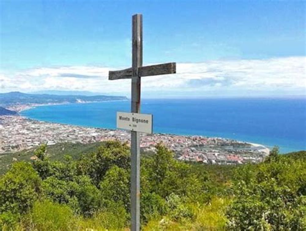
Quite steep ascent. spectacular views both at the top and along the route over Alassio and Albenga. Be careful when going down because the ground is stony. The sign at the beginning of the route says 1h 40min, but we spent an hour making numerous stops.
Difficulty
Easy
Walking along a well-kept trail that’s mostly flat. No obstacles are present.
Medium Exposure

The trail contains some obstacles such as outcroppings and rock which could cause injury.
Remoteness

Close to help in case of emergency.
Best time to visit
Features
- Dog friendly