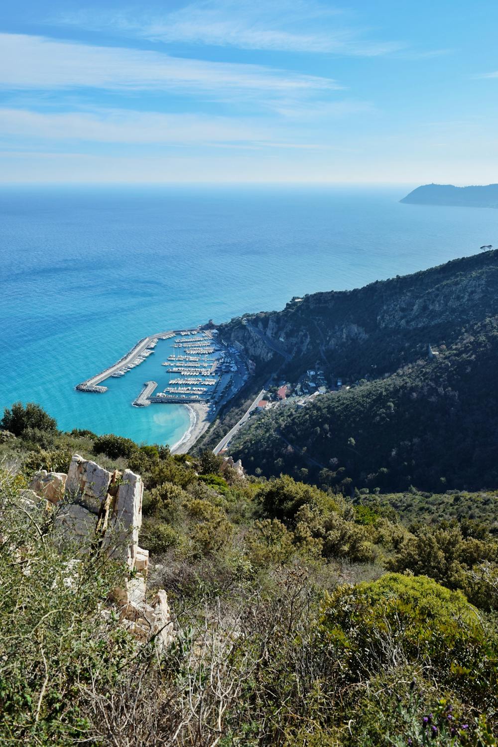
Sentiero dell'Onda
A terrace on the sea
Hiking Moderate
- Distance
- 5.3 km
- Ascent
- 344 m
- Descent
- 254 m
- Duration
- 1-2 hrs
- Low Point
- 8 m
- High Point
- 327 m
- Gradient
- 13˚

An easily walkable terrace on the sea, overlooking the bay below and the enchanting scenery of the Gallinara island. Starting from Albenga (Vadino), after a slight climb, it's possible to reach Santa Croce's chapel and its panoramic viewpoint on both Alassio and Albenga, and then return back to Albenga walking through the relaxing path of the Strada Romana (Via Julia Augusta).
Difficulty
Moderate
Hiking along trails with some uneven terrain and small hills. Small rocks and roots may be present.
Medium Exposure

The trail contains some obstacles such as outcroppings and rock which could cause injury.
Remoteness

Close to help in case of emergency.